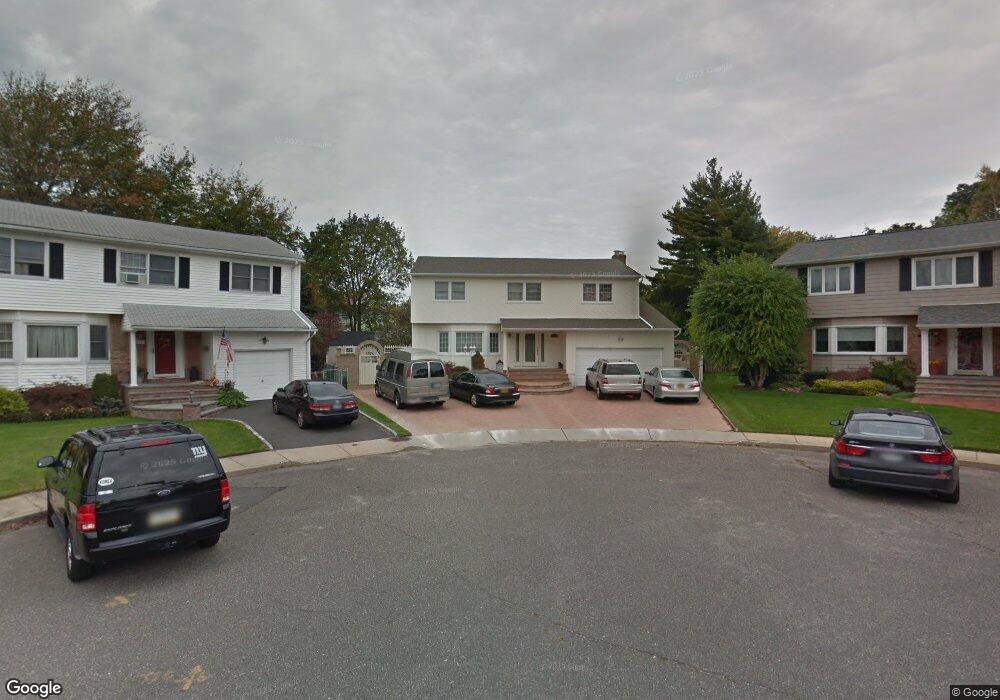
2075 Maple St North Baldwin, NY 11510
Estimated Value: $760,079 - $768,000
Studio
3
Baths
1,972
Sq Ft
$387/Sq Ft
Est. Value
About This Home
This home is located at 2075 Maple St, North Baldwin, NY 11510 and is currently estimated at $764,040, approximately $387 per square foot. 2075 Maple St is a home located in Nassau County with nearby schools including Baldwin Senior High School.
Ownership History
Date
Name
Owned For
Owner Type
Purchase Details
Closed on
Aug 31, 2000
Sold by
Grounds Nichoals G M Kathleen
Bought by
Canales Reinaldo I and Canales Marta D
Current Estimated Value
Purchase Details
Closed on
Jun 6, 1996
Sold by
Nola Ann
Bought by
Vilardi Rudolph and Vilardi Stella
Home Financials for this Owner
Home Financials are based on the most recent Mortgage that was taken out on this home.
Original Mortgage
$200,000
Interest Rate
8.21%
Create a Home Valuation Report for This Property
The Home Valuation Report is an in-depth analysis detailing your home's value as well as a comparison with similar homes in the area
Home Values in the Area
Average Home Value in this Area
Purchase History
| Date | Buyer | Sale Price | Title Company |
|---|---|---|---|
| Canales Reinaldo I | $355,000 | Edward M Rosenthal | |
| Vilardi Rudolph | $266,000 | -- |
Source: Public Records
Mortgage History
| Date | Status | Borrower | Loan Amount |
|---|---|---|---|
| Previous Owner | Vilardi Rudolph | $200,000 |
Source: Public Records
Tax History
| Year | Tax Paid | Tax Assessment Tax Assessment Total Assessment is a certain percentage of the fair market value that is determined by local assessors to be the total taxable value of land and additions on the property. | Land | Improvement |
|---|---|---|---|---|
| 2025 | $14,180 | $495 | $149 | $346 |
| 2024 | $3,516 | $485 | $146 | $339 |
Source: Public Records
Map
Nearby Homes
- 2116 Maple St
- 2122 Walnut St
- 2 Meadow Ln
- 1874 Rockville Dr
- 420 Devonshire Rd
- 1854 Rockville Dr
- 578 Seaman Ave
- 619 Ashland Ave
- 1905 Bryant Place
- 360 Raymond St
- 1900 Carleton Place
- 549 Emerson Ave
- 1746 Rockville Dr
- 661 Saint Lukes Place
- 610 Emerson Ave
- 560 Stowe Ave
- 2 Florence St
- 590 Haig St Unit 101
- 2355 Pershing Blvd Unit 607
- 1624 Berkeley Ave
Your Personal Tour Guide
Ask me questions while you tour the home.