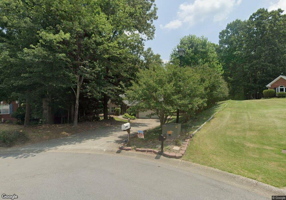
2075 Oakpointe Ct Buford, GA 30519
Estimated Value: $353,000 - $421,678
3
Beds
2
Baths
2,053
Sq Ft
$192/Sq Ft
Est. Value
About This Home
This home is located at 2075 Oakpointe Ct, Buford, GA 30519 and is currently estimated at $393,920, approximately $191 per square foot. 2075 Oakpointe Ct is a home located in Gwinnett County with nearby schools including Duncan Creek Elementary School, Frank N. Osborne Middle School, and Mill Creek High School.
Ownership History
Date
Name
Owned For
Owner Type
Purchase Details
Closed on
Apr 22, 2005
Sold by
Henry Howard H and Henry Phyllis
Bought by
Waller Edward A and Waller Tammy
Current Estimated Value
Home Financials for this Owner
Home Financials are based on the most recent Mortgage that was taken out on this home.
Original Mortgage
$138,300
Outstanding Balance
$71,365
Interest Rate
5.88%
Mortgage Type
New Conventional
Estimated Equity
$322,555
Purchase Details
Closed on
May 28, 1997
Sold by
Smith William M
Bought by
Henry Howard H
Create a Home Valuation Report for This Property
The Home Valuation Report is an in-depth analysis detailing your home's value as well as a comparison with similar homes in the area
Home Values in the Area
Average Home Value in this Area
Purchase History
| Date | Buyer | Sale Price | Title Company |
|---|---|---|---|
| Waller Edward A | $172,900 | -- | |
| Henry Howard H | $126,000 | -- |
Source: Public Records
Mortgage History
| Date | Status | Borrower | Loan Amount |
|---|---|---|---|
| Open | Waller Edward A | $138,300 |
Source: Public Records
Tax History
| Year | Tax Paid | Tax Assessment Tax Assessment Total Assessment is a certain percentage of the fair market value that is determined by local assessors to be the total taxable value of land and additions on the property. | Land | Improvement |
|---|---|---|---|---|
| 2025 | $4,043 | $151,800 | $36,080 | $115,720 |
| 2024 | $4,156 | $150,160 | $30,000 | $120,160 |
| 2023 | $4,156 | $140,360 | $26,000 | $114,360 |
| 2022 | $3,564 | $123,320 | $26,000 | $97,320 |
| 2021 | $2,999 | $93,800 | $20,800 | $73,000 |
| 2020 | $2,918 | $89,120 | $18,720 | $70,400 |
| 2019 | $2,849 | $89,120 | $18,720 | $70,400 |
| 2018 | $2,613 | $78,200 | $15,920 | $62,280 |
| 2016 | $2,350 | $65,080 | $10,800 | $54,280 |
| 2015 | $2,372 | $65,080 | $10,800 | $54,280 |
| 2014 | -- | $58,000 | $10,800 | $47,200 |
Source: Public Records
Map
Nearby Homes
- 4657 Water Mill Dr NE
- 2118 Water Mill Ct
- 4457 Water Mill Dr
- 4335 Magpie Dr
- 2171 Spring Sound Ln
- 4317 Water Mill Dr
- 4437 Waxwing St
- 2206 Spring Stone Ct
- 4251 Haywater Cove
- 2200 Spring Sound Ln
- 4335 Braselton Hwy Unit tax parcel R3003 327
- 2238 Well Springs Dr
- 4602 Shay Terrace
- 6096 Apple Grove Rd
- 2979 Ogden Trail
- 6071 Apple Grove Rd
- 4590 Wheeler Creek Dr
- 2070 Cabela Dr
- 1661 Silver Crest Way
- 5209 Cedar Shoals Dr
- 2085 Oakpointe Ct
- 2060 Oakpointe Ct
- 2095 Oakpointe Ct
- 2070 Oakpointe Ct
- 2080 Oakpointe Ct
- 2090 Oakpointe Ct
- 2100 Oakpointe Ct
- 2105 Oakpointe Ct
- 4737 Water Mill Dr
- 2115 Oakpointe Ct
- 4727 Water Mill Dr
- 2110 Oakpointe Ct
- 4717 Water Mill Dr
- 2125 Oakpointe Ct
- 4707 Water Mill Dr NE
- 4696 Water Mill Dr NE
- 4697 Water Mill Dr
- 2135 Oakpointe Ct
- 2135 Oakpointe Ct
- 4686 Water Mill Dr
Your Personal Tour Guide
Ask me questions while you tour the home.