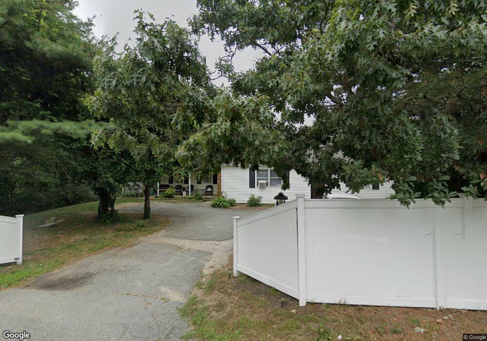
2075 State Hwy Eastham, MA 02642
Estimated Value: $635,000 - $921,000
6
Beds
3
Baths
1,570
Sq Ft
$504/Sq Ft
Est. Value
About This Home
This home is located at 2075 State Hwy, Eastham, MA 02642 and is currently estimated at $791,652, approximately $504 per square foot. 2075 State Hwy is a home located in Barnstable County with nearby schools including Eastham Elementary School, Nauset Regional Middle School, and Nauset Regional High School.
Ownership History
Date
Name
Owned For
Owner Type
Purchase Details
Closed on
Dec 16, 2004
Sold by
Dupaul Justin and Dupaul Patricia
Bought by
Bell Clinton E and Delcourt James H
Current Estimated Value
Purchase Details
Closed on
Feb 28, 2003
Sold by
Vacca-Hines Velda
Bought by
Dupaul Justin and Dupaul Patricia
Home Financials for this Owner
Home Financials are based on the most recent Mortgage that was taken out on this home.
Original Mortgage
$292,500
Interest Rate
5.98%
Mortgage Type
Purchase Money Mortgage
Create a Home Valuation Report for This Property
The Home Valuation Report is an in-depth analysis detailing your home's value as well as a comparison with similar homes in the area
Home Values in the Area
Average Home Value in this Area
Purchase History
| Date | Buyer | Sale Price | Title Company |
|---|---|---|---|
| Bell Clinton E | -- | -- | |
| Dupaul Justin | $325,000 | -- |
Source: Public Records
Mortgage History
| Date | Status | Borrower | Loan Amount |
|---|---|---|---|
| Previous Owner | Dupaul Justin | $292,500 |
Source: Public Records
Tax History Compared to Growth
Tax History
| Year | Tax Paid | Tax Assessment Tax Assessment Total Assessment is a certain percentage of the fair market value that is determined by local assessors to be the total taxable value of land and additions on the property. | Land | Improvement |
|---|---|---|---|---|
| 2025 | $4,014 | $520,600 | $159,100 | $361,500 |
| 2024 | $3,544 | $505,500 | $154,400 | $351,100 |
| 2023 | $3,282 | $453,300 | $143,000 | $310,300 |
| 2022 | $3,100 | $361,300 | $127,700 | $233,600 |
| 2021 | $2,981 | $324,700 | $116,100 | $208,600 |
| 2020 | $2,760 | $316,500 | $118,500 | $198,000 |
| 2019 | $2,558 | $310,000 | $115,000 | $195,000 |
| 2018 | $2,430 | $291,000 | $111,700 | $179,300 |
| 2017 | $2,273 | $287,700 | $109,500 | $178,200 |
| 2016 | $2,117 | $284,600 | $109,500 | $175,100 |
| 2015 | $1,985 | $279,600 | $107,300 | $172,300 |
Source: Public Records
Map
Nearby Homes
- 2705 State Hwy
- 2705 State Hwy Unit 1-8
- 330 Hay Rd
- 55 Grandfathers Way
- 1061 State Hwy Unit 4
- 1061 State Hwy Unit 1061
- 25 Twin Rocks Dr
- 785 State Hwy Unit 9
- 20 White Pines Dr
- 20 Kittiwake Ln
- 20 Redberry Ln
- 46 Freeman Ln
- 70 Deerfield Ln
- 343 Tonset Rd
- 315 Candlewood Dr
- 82 Old Orchard Rd
- 10 Cartway N
- 25 Forrest Ave
- 320 State Hwy
- 20 Billingsgate Ave
- 2075 State Hwy Unit 1&2
- 2082 State Hwy
- 50 Lucinda Ct
- 2085 State Hwy
- 2080 State Rear
- 40 Lucinda Ct
- 15 Aeries Ave
- 2082 State Rte 6 Hwy
- 2070 State Hwy
- 2070 State Hwy Unit 1
- 2070 State Hwy Unit 2
- 22 Lombard Ln
- 35 Lucinda Ct
- 2032 State Hwy
- 1975 Mid-Cape Hwy
- 2080R State Hwy
- 2050 State Hwy
- 30 Lucinda Ct
- 1975 State Hwy Unit 8
- 1975 State Hwy Unit 10