2076 10th Ave W Baldwin, WI 54002
Estimated Value: $381,000 - $544,837
Studio
--
Bath
--
Sq Ft
1,710,166
Sq Ft Lot
About This Home
This home is located at 2076 10th Ave W, Baldwin, WI 54002 and is currently estimated at $463,946. 2076 10th Ave W is a home located in St. Croix County with nearby schools including Greenfield Elementary School, Viking Middle School, and Baldwin-Woodville High School.
Ownership History
Date
Name
Owned For
Owner Type
Purchase Details
Closed on
May 15, 2020
Sold by
Gilbert Gordon J and Gilbert Rory L
Bought by
Gilbert Gordon J and Gilbert Rory L
Current Estimated Value
Home Financials for this Owner
Home Financials are based on the most recent Mortgage that was taken out on this home.
Original Mortgage
$263,900
Outstanding Balance
$231,275
Interest Rate
3.3%
Mortgage Type
VA
Estimated Equity
$232,671
Create a Home Valuation Report for This Property
The Home Valuation Report is an in-depth analysis detailing your home's value as well as a comparison with similar homes in the area
Home Values in the Area
Average Home Value in this Area
Purchase History
| Date | Buyer | Sale Price | Title Company |
|---|---|---|---|
| Gilbert Gordon J | -- | Vantage Point Title |
Source: Public Records
Mortgage History
| Date | Status | Borrower | Loan Amount |
|---|---|---|---|
| Open | Gilbert Gordon J | $263,900 |
Source: Public Records
Tax History
| Year | Tax Paid | Tax Assessment Tax Assessment Total Assessment is a certain percentage of the fair market value that is determined by local assessors to be the total taxable value of land and additions on the property. | Land | Improvement |
|---|---|---|---|---|
| 2025 | $2,929 | $230,100 | $38,200 | $191,900 |
| 2024 | $24 | $230,300 | $38,400 | $191,900 |
| 2023 | $2,173 | $230,200 | $38,300 | $191,900 |
| 2022 | $1,926 | $230,300 | $38,400 | $191,900 |
| 2021 | $2,207 | $214,800 | $38,300 | $176,500 |
| 2020 | $2,093 | $160,900 | $33,800 | $127,100 |
| 2019 | $2,282 | $161,500 | $34,400 | $127,100 |
| 2018 | $2,133 | $161,400 | $34,300 | $127,100 |
| 2017 | $2,289 | $161,300 | $34,200 | $127,100 |
| 2016 | $2,289 | $161,300 | $34,200 | $127,100 |
| 2015 | $2,306 | $161,200 | $34,100 | $127,100 |
| 2014 | $2,089 | $176,700 | $34,300 | $142,400 |
| 2013 | $2,322 | $176,700 | $34,300 | $142,400 |
Source: Public Records
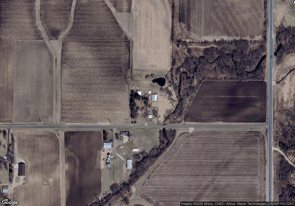
Map
Nearby Homes
- LOT 1 County Road T
- W5373 801st Ave
- N7838 535th St
- 2111 55th Ave
- XXX 650th St
- 2081 60th Ave
- 2447 50th Ave
- 1710 Amsterdam St
- 1810 11th Ave
- 370 Creekview Ct
- 1933 4th Ave
- 330 Meadowview Ct
- 300 Cedar St Unit 15
- 1724 Redhead Ave
- xxx 11th Ave
- 316 Birch St
- 288 Birch St
- 1586 Mallard Ave
- 1621 Mallard Ave
- 1632 Mallard Ave
- 2075 10th Ave W
- 2053 10th Ave W
- 2053 10th Ave W
- 2053 10th Ave W
- 123 Us Highway 63
- 131 Us Highway 63
- 93 Us Highway 63
- 85 Us Highway 63
- 137 Us Highway 63
- 148 Us Highway 63
- 2122 5th Ave
- 2121 5th Ave
- 2084 County Road Yy
- 2058 County Road Yy
- 149 Us Highway 63
- 149 Us Highway 63
- 2083 County Road Yy
- 2056 18th Ave
- 2014 10th Avenue Ave
- 2014/2015 10th Avenue Ave
Your Personal Tour Guide
Ask me questions while you tour the home.