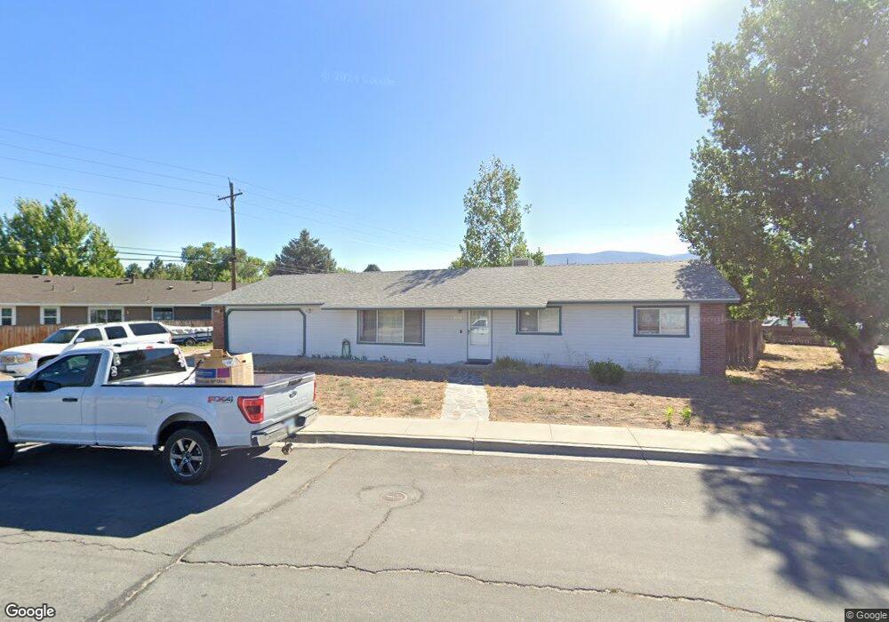
2076 Carriage Crest Dr Carson City, NV 89706
Northridge NeighborhoodEstimated Value: $437,003 - $465,000
3
Beds
2
Baths
1,440
Sq Ft
$314/Sq Ft
Est. Value
About This Home
This home is located at 2076 Carriage Crest Dr, Carson City, NV 89706 and is currently estimated at $452,751, approximately $314 per square foot. 2076 Carriage Crest Dr is a home located in Carson City with nearby schools including Mark Twain Elementary School, Carson Middle School, and Carson High School.
Ownership History
Date
Name
Owned For
Owner Type
Purchase Details
Closed on
Sep 19, 2024
Sold by
Millard Vernon Vongene
Bought by
Vernon And Christine Millard Revocable Living and Millard
Current Estimated Value
Purchase Details
Closed on
Aug 7, 2008
Sold by
Millard Vernon and Millard Christine Barger
Bought by
Millard Vernon V
Create a Home Valuation Report for This Property
The Home Valuation Report is an in-depth analysis detailing your home's value as well as a comparison with similar homes in the area
Home Values in the Area
Average Home Value in this Area
Purchase History
| Date | Buyer | Sale Price | Title Company |
|---|---|---|---|
| Vernon And Christine Millard Revocable Living | -- | None Listed On Document | |
| Millard Vernon V | -- | Stewart Title Carson |
Source: Public Records
Tax History Compared to Growth
Tax History
| Year | Tax Paid | Tax Assessment Tax Assessment Total Assessment is a certain percentage of the fair market value that is determined by local assessors to be the total taxable value of land and additions on the property. | Land | Improvement |
|---|---|---|---|---|
| 2025 | $2,421 | $80,268 | $33,250 | $47,018 |
| 2024 | $2,261 | $79,638 | $31,500 | $48,138 |
| 2023 | $2,094 | $74,130 | $28,700 | $45,430 |
| 2022 | $1,939 | $65,163 | $23,975 | $41,188 |
| 2021 | $1,795 | $60,583 | $19,950 | $40,633 |
| 2020 | $1,795 | $56,450 | $16,450 | $40,000 |
| 2019 | $1,670 | $56,214 | $16,450 | $39,764 |
| 2018 | $1,593 | $54,305 | $15,750 | $38,555 |
| 2017 | $1,529 | $52,003 | $13,475 | $38,528 |
| 2016 | $1,491 | $51,716 | $12,250 | $39,466 |
| 2015 | $1,488 | $49,913 | $10,390 | $39,523 |
| 2014 | $1,442 | $43,867 | $8,313 | $35,554 |
Source: Public Records
Map
Nearby Homes
- 1970 Hamilton Ave
- 1381 Spooner Dr
- 1654 Spooner Dr
- 2542 Ravenshorn Dr
- 2616 Carriage Crest Dr
- 2613 Pinion Pine Dr
- 2756 Table Rock Dr
- 2048 Poole Way
- 493 Hot Springs Rd Unit 1
- 493 Hot Springs Rd Unit 24
- 0 Research Way
- 1902 Peters St
- 1955 F St
- 2408 Bunch Way
- 5 Riley Cir
- 1772 Hogan Peak St
- 2610 E Nye Ln
- 2524 Sneddon Way
- 1321 Ashby Ct
- 217 Gold Hill Dr
- 1535 Mountain Park Dr
- 2011 Hamilton Ave
- 1511 Mountain Park Dr
- 2031 Hamilton Ave
- 1558 Mountain Park Dr
- 1536 Mountain Park Dr
- 1981 Hamilton Ave
- 1491 Mountain Park Dr
- 1514 Mountain Park Dr
- 2010 Hamilton Ave
- 1469 Mountain Park Dr
- 1492 Mountain Park Dr
- 2016 Hamilton Ave
- 2166 Carriage Crest Dr
- 1977 Hamilton Ave
- 1537 Lindsay Ln
- 1978 Hamilton Ave
- 1515 Lindsay Ln
- 1470 Mountain Park Dr
- 1978 Carriage Crest Dr