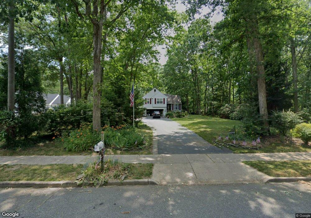
2076 Chew Ave Franklinville, NJ 08322
Franklin Township NeighborhoodEstimated Value: $339,544 - $451,000
--
Bed
--
Bath
1,663
Sq Ft
$241/Sq Ft
Est. Value
About This Home
This home is located at 2076 Chew Ave, Franklinville, NJ 08322 and is currently estimated at $400,136, approximately $240 per square foot. 2076 Chew Ave is a home located in Gloucester County with nearby schools including Delsea Regional Middle School, Delsea Regional High School, and St. Mary School.
Ownership History
Date
Name
Owned For
Owner Type
Purchase Details
Closed on
May 6, 1994
Sold by
Santiago Naida
Bought by
Rhoad Stephen and Freeman Joann
Current Estimated Value
Home Financials for this Owner
Home Financials are based on the most recent Mortgage that was taken out on this home.
Original Mortgage
$102,000
Interest Rate
7.93%
Create a Home Valuation Report for This Property
The Home Valuation Report is an in-depth analysis detailing your home's value as well as a comparison with similar homes in the area
Home Values in the Area
Average Home Value in this Area
Purchase History
| Date | Buyer | Sale Price | Title Company |
|---|---|---|---|
| Rhoad Stephen | $128,000 | -- |
Source: Public Records
Mortgage History
| Date | Status | Borrower | Loan Amount |
|---|---|---|---|
| Closed | Rhoad Stephen | $102,000 |
Source: Public Records
Tax History Compared to Growth
Tax History
| Year | Tax Paid | Tax Assessment Tax Assessment Total Assessment is a certain percentage of the fair market value that is determined by local assessors to be the total taxable value of land and additions on the property. | Land | Improvement |
|---|---|---|---|---|
| 2025 | $7,535 | $196,900 | $43,400 | $153,500 |
| 2024 | $7,356 | $196,900 | $43,400 | $153,500 |
| 2023 | $7,356 | $196,900 | $43,400 | $153,500 |
| 2022 | $7,159 | $196,900 | $43,400 | $153,500 |
| 2021 | $7,040 | $196,900 | $43,400 | $153,500 |
| 2020 | $6,964 | $196,900 | $43,400 | $153,500 |
| 2019 | $6,868 | $196,900 | $43,400 | $153,500 |
| 2018 | $6,769 | $196,900 | $43,400 | $153,500 |
| 2017 | $6,620 | $196,900 | $43,400 | $153,500 |
| 2016 | $6,586 | $196,900 | $43,400 | $153,500 |
| 2015 | $6,324 | $196,900 | $43,400 | $153,500 |
| 2014 | $6,086 | $196,900 | $43,400 | $153,500 |
Source: Public Records
Map
Nearby Homes
- 2243 Stanton Ave
- 2323 Sheridan Ave
- 3060 Williamstown Rd
- 4516 Tuckahoe Rd
- 18 Crysta Ct
- 0 E Grant Ave
- 3653 Tuckahoe Rd
- 236 S Tuckahoe Rd
- 613 Cedar Ave
- 664 Scotland Run Ave
- 0 Tuckahoe & Coles Mill Rd
- 3292 Tuckahoe Rd
- 43 Queensferry Dr
- 893 Fries Mill Rd
- 201 Luray Dr
- 109 Holly Rd
- 271 Kille Rd
- 3050 Tuckahoe Rd
- 100 Stage Coach Rd
- 366 N Tuckahoe Rd
- 2086 Chew Ave
- 938 Lincoln Ave
- 924 Lincoln Ave
- 2100 Chew Ave
- 2065 Chew Ave
- 910 Lincoln Ave
- 2085 Chew Ave
- 2118 Chew Ave
- 2049 Chew Ave
- 953 Lincoln Ave
- 935 Lincoln Ave
- 925 Lincoln Ave
- 2105 Chew Ave
- 935 Federal Ave
- 894 Lincoln Ave
- 963 Lincoln Ave
- 911 Lincoln Ave
- 919 Federal Ave
- 955 Federal Ave
- 882 Lincoln Ave