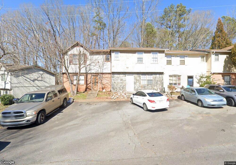
2076 Lenoa Ln Austell, GA 30106
Estimated Value: $143,298 - $176,000
2
Beds
2
Baths
1,078
Sq Ft
$151/Sq Ft
Est. Value
About This Home
This home is located at 2076 Lenoa Ln, Austell, GA 30106 and is currently estimated at $163,075, approximately $151 per square foot. 2076 Lenoa Ln is a home located in Cobb County with nearby schools including Clarkdale Elementary School, Garrett Middle School, and South Cobb High School.
Ownership History
Date
Name
Owned For
Owner Type
Purchase Details
Closed on
Jan 10, 2019
Sold by
Recorp Ltd Profit Sharing Plan
Bought by
Smith Brenton K and Townhome Trust
Current Estimated Value
Purchase Details
Closed on
Jul 31, 2003
Sold by
Masters Timothy D
Bought by
Recorp Ltd Psp Of Trust
Purchase Details
Closed on
Mar 17, 1999
Sold by
Contimortgage Corp
Bought by
Masters Timothy D
Home Financials for this Owner
Home Financials are based on the most recent Mortgage that was taken out on this home.
Original Mortgage
$31,500
Interest Rate
6.74%
Mortgage Type
New Conventional
Create a Home Valuation Report for This Property
The Home Valuation Report is an in-depth analysis detailing your home's value as well as a comparison with similar homes in the area
Home Values in the Area
Average Home Value in this Area
Purchase History
| Date | Buyer | Sale Price | Title Company |
|---|---|---|---|
| Smith Brenton K | -- | -- | |
| Recorp Ltd Psp Of Trust | $42,000 | -- | |
| Masters Timothy D | $35,000 | -- |
Source: Public Records
Mortgage History
| Date | Status | Borrower | Loan Amount |
|---|---|---|---|
| Previous Owner | Masters Timothy D | $31,500 |
Source: Public Records
Tax History
| Year | Tax Paid | Tax Assessment Tax Assessment Total Assessment is a certain percentage of the fair market value that is determined by local assessors to be the total taxable value of land and additions on the property. | Land | Improvement |
|---|---|---|---|---|
| 2025 | $1,645 | $54,588 | $16,000 | $38,588 |
| 2024 | $1,646 | $54,588 | $16,000 | $38,588 |
| 2023 | $1,479 | $49,060 | $10,000 | $39,060 |
Source: Public Records
Map
Nearby Homes
- 2081 Lenoa Ln
- 2083 Lenoa Ln
- 2085 Lenoa Ln
- 2013 Chesley Dr
- 2034 Drennon Ave
- 2026 Drennon Ave
- 4420 Pink Rose Ct
- 4349 Kousa Rd Unit 4
- 1951 Bay Beauty Ln Unit 10
- 2110 Plum Ln
- 1808 Elmwood Dr
- 4630 Hemlock Dr
- 2349 Shire Ct
- 2373 Buckley Ct
- 4688 Bennett St
- 4814 Clove Dr SW
- 1741 Seayes Rd
- 4809 Hemlock Dr
- 4747 Nelda Dr
- 4778 Garrett Dr SW
- 2074 Lenoa Ln
- 2078 Lenoa Ln
- 2072 Lenoa Ln
- 2080 Lenoa Ln
- 2080 Lenoa Ln Unit 2080
- 2070 Lenoa Ln
- 2082 Lenoa Ln
- 2082 Lenoa Ln
- 2082 Lenoa Ln Unit 2082
- 2084 Lenoa Ln
- 2068 Lenoa Ln
- 2075 Lenoa Ln
- 2071 Lenoa Ln
- 2066 Lenoa Ln
- 2066 Lenoa Ln Unit 2066
- 2073 Lenoa Ln
- 2073 Lenoa Ln
- 2086 Lenoa Ln
- 2069 Lenoa Ln
- 2077 Lenoa Ln
Your Personal Tour Guide
Ask me questions while you tour the home.