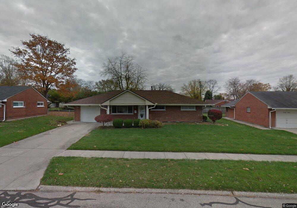
2076 Mattis Dr Dayton, OH 45439
Woodbourne-Hyde Park NeighborhoodEstimated Value: $187,000 - $203,000
3
Beds
1
Bath
1,080
Sq Ft
$181/Sq Ft
Est. Value
About This Home
This home is located at 2076 Mattis Dr, Dayton, OH 45439 and is currently estimated at $195,076, approximately $180 per square foot. 2076 Mattis Dr is a home located in Montgomery County with nearby schools including West Carrollton High School, Miami Valley Academies, and St. Albert the Great Catholic School.
Ownership History
Date
Name
Owned For
Owner Type
Purchase Details
Closed on
Jul 30, 2019
Sold by
Baker Marjorie C
Bought by
Collins John
Current Estimated Value
Purchase Details
Closed on
Dec 26, 2002
Sold by
Collins Michael M and Collins Amy
Bought by
Baker Marjorie C
Purchase Details
Closed on
Oct 14, 1998
Sold by
Collins Sherrie L
Bought by
Collins Michael M
Create a Home Valuation Report for This Property
The Home Valuation Report is an in-depth analysis detailing your home's value as well as a comparison with similar homes in the area
Home Values in the Area
Average Home Value in this Area
Purchase History
| Date | Buyer | Sale Price | Title Company |
|---|---|---|---|
| Collins John | $100,000 | None Available | |
| Baker Marjorie C | $49,900 | -- | |
| Collins Michael M | $19,000 | -- | |
| Collins Michael M | $19,000 | -- |
Source: Public Records
Tax History Compared to Growth
Tax History
| Year | Tax Paid | Tax Assessment Tax Assessment Total Assessment is a certain percentage of the fair market value that is determined by local assessors to be the total taxable value of land and additions on the property. | Land | Improvement |
|---|---|---|---|---|
| 2024 | $3,548 | $49,610 | $7,820 | $41,790 |
| 2023 | $3,548 | $49,610 | $7,820 | $41,790 |
| 2022 | $3,086 | $33,300 | $5,250 | $28,050 |
| 2021 | $2,804 | $33,300 | $5,250 | $28,050 |
| 2020 | $2,801 | $33,300 | $5,250 | $28,050 |
| 2019 | $1,936 | $28,700 | $5,250 | $23,450 |
| 2018 | $1,812 | $28,700 | $5,250 | $23,450 |
| 2017 | $1,801 | $28,700 | $5,250 | $23,450 |
| 2016 | $1,807 | $28,110 | $5,250 | $22,860 |
| 2015 | $2,416 | $28,110 | $5,250 | $22,860 |
| 2014 | $2,416 | $28,110 | $5,250 | $22,860 |
| 2012 | -- | $27,690 | $7,000 | $20,690 |
Source: Public Records
Map
Nearby Homes
- 2090 Mattis Dr
- 1673 W Stroop Rd
- 1692 Hillwood Dr
- 4301 Tait Rd
- 1952 Tait Circle Rd
- 1905 Tait Circle Rd
- 4207 S Dixie Dr
- 4629 Richwood Dr
- 2050 William Ln
- 4661 Richwood Dr
- 3720 Ridgeleigh Rd Unit D
- 4792 Loxley Dr
- 2639 Blanchard Ave
- 2571 Cluster Ave
- 1349 Tamerlane Rd
- 1955 Kresswood Cir
- 5084 Mays Ave
- 4400 Royal Ridge Way
- 4447 Royal Ridge Way
- 2399 Polo Park Dr
- 2064 Mattis Dr
- 2085 Owendale Dr
- 2069 Owendale Dr
- 2099 Owendale Dr
- 2050 Mattis Dr
- 2055 Owendale Dr
- 2093 Mattis Dr
- 2061 Mattis Dr
- 2113 Owendale Dr
- 4097 Cordell Dr
- 2114 Mattis Dr
- 2037 Owendale Dr
- 2053 Norway Dr
- 2064 Norway Dr
- 2111 Mattis Dr
- 2041 Mattis Dr
- 2125 Owendale Dr
- 2076 Owendale Dr
- 2092 Owendale Dr
- 2062 Owendale Dr