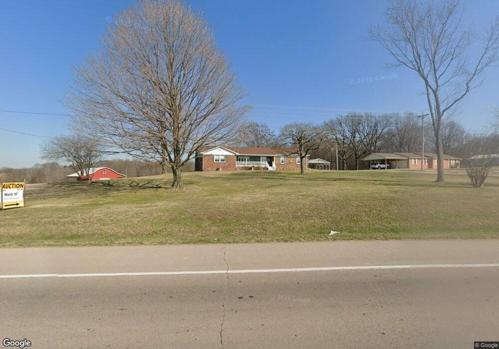
20764 State Highway 25 Bloomfield, MO 63825
Estimated Value: $163,000 - $459,000
4
Beds
3
Baths
2,287
Sq Ft
$135/Sq Ft
Est. Value
About This Home
This home is located at 20764 State Highway 25, Bloomfield, MO 63825 and is currently estimated at $309,402, approximately $135 per square foot. 20764 State Highway 25 is a home located in Stoddard County with nearby schools including Bloomfield Elementary School, Bloomfield Middle School, and Bloomfield High School.
Ownership History
Date
Name
Owned For
Owner Type
Purchase Details
Closed on
Aug 26, 2025
Sold by
Donald S Peters 101 L Trust
Bought by
Vincent Judith
Current Estimated Value
Purchase Details
Closed on
Dec 27, 2024
Sold by
Hueckel Brenda
Bought by
Living Peters D
Home Financials for this Owner
Home Financials are based on the most recent Mortgage that was taken out on this home.
Original Mortgage
$350,000
Interest Rate
0.67%
Mortgage Type
Construction
Create a Home Valuation Report for This Property
The Home Valuation Report is an in-depth analysis detailing your home's value as well as a comparison with similar homes in the area
Purchase History
| Date | Buyer | Sale Price | Title Company |
|---|---|---|---|
| Vincent Judith | -- | National Title & Escrow Inc | |
| Living Peters D | $343,000 | Semo Title |
Source: Public Records
Mortgage History
| Date | Status | Borrower | Loan Amount |
|---|---|---|---|
| Previous Owner | Living Peters D | $350,000 |
Source: Public Records
Tax History
| Year | Tax Paid | Tax Assessment Tax Assessment Total Assessment is a certain percentage of the fair market value that is determined by local assessors to be the total taxable value of land and additions on the property. | Land | Improvement |
|---|---|---|---|---|
| 2025 | $1,464 | $33,234 | $0 | $0 |
| 2024 | $15 | $31,224 | $0 | $0 |
| 2023 | $1,464 | $31,224 | $0 | $0 |
| 2022 | $1,398 | $29,815 | $0 | $0 |
| 2021 | $1,398 | $29,815 | $0 | $0 |
| 2020 | $1,306 | $27,171 | $0 | $0 |
| 2019 | $1,306 | $27,731 | $0 | $0 |
| 2018 | $1,279 | $27,171 | $0 | $0 |
| 2016 | $1,045 | $22,224 | $0 | $0 |
| 2015 | -- | $22,224 | $0 | $0 |
| 2014 | -- | $21,915 | $0 | $0 |
| 2013 | -- | $312 | $0 | $0 |
Source: Public Records
Map
Nearby Homes
- 301 Cape Rd
- 306R Miller St
- 22348 County Road 503
- 404 Locust St
- 301 W Shawnee St
- 0 E Hwy Unit MIS26003606
- 23847 Friar Tuck Ct
- 16501 County Road 420
- 25097 State Highway 25
- 21895 County Road 550
- 0 County Road 237
- 0 County Road 260
- 24898 State Highway Ab
- 0 Tract 5 County Road 260 262
- 0 Tract 3 County Road 260 262
- 0 Tract 2 County Road 260 262
- 0 Tract 4 County Road 260 262
- 15676 State Highway Ad
- 14089 County Road 405
- 14038 County Road 405
- 20696 State Highway 25
- 20636 State Highway 25
- 20688 State Highway 25
- 20884 State Highway 25
- 16796 County Road 533
- 16788 County Road 533
- 20498 State Highway 25
- 26529 State Highway 25
- 20329 State Highway 25
- 20373 State Highway 25
- 20259 State Highway 25
- 19221 Mary St
- 19185 Mary St
- 19218 Mary St
- 19147 Mary St
- 19188 Mary St
- 20147 State Highway 25
- 20147 Missouri 25
- 19152 Mary St
- 19126 Mary St
Your Personal Tour Guide
Ask me questions while you tour the home.