2077 Burgundy St Unit Bldg-Unit West Bloomfield, MI 48323
Estimated Value: $379,000 - $499,000
2
Beds
3
Baths
1,955
Sq Ft
$220/Sq Ft
Est. Value
About This Home
This home is located at 2077 Burgundy St Unit Bldg-Unit, West Bloomfield, MI 48323 and is currently estimated at $431,048, approximately $220 per square foot. 2077 Burgundy St Unit Bldg-Unit is a home located in Oakland County with nearby schools including West Hills Middle School, Bloomfield Hills High School, and Brookfield Academy - West Bloomfield Campus.
Ownership History
Date
Name
Owned For
Owner Type
Purchase Details
Closed on
Jan 15, 2019
Sold by
Cassar Kristine Y
Bought by
Kristine Y Cassar Trust
Current Estimated Value
Purchase Details
Closed on
Jun 5, 2018
Sold by
Hoffman Frederick G and Hoffman Pamela S
Bought by
Cassar Kristine Y
Purchase Details
Closed on
Jun 13, 2003
Sold by
Gordon Herbert W and Gordon Patricia
Bought by
Hoffman Frederick G and Hoffman Pamela S
Purchase Details
Closed on
Jul 22, 1998
Sold by
Mabel Margaret Beier Tr
Bought by
Gordon Herbert W
Create a Home Valuation Report for This Property
The Home Valuation Report is an in-depth analysis detailing your home's value as well as a comparison with similar homes in the area
Home Values in the Area
Average Home Value in this Area
Purchase History
| Date | Buyer | Sale Price | Title Company |
|---|---|---|---|
| Kristine Y Cassar Trust | -- | None Available | |
| Cassar Kristine Y | $324,900 | Cislo Title Co | |
| Hoffman Frederick G | $330,000 | Metropolitan Title Company | |
| Gordon Herbert W | $205,000 | -- |
Source: Public Records
Tax History Compared to Growth
Tax History
| Year | Tax Paid | Tax Assessment Tax Assessment Total Assessment is a certain percentage of the fair market value that is determined by local assessors to be the total taxable value of land and additions on the property. | Land | Improvement |
|---|---|---|---|---|
| 2024 | $4,126 | $175,530 | $0 | $0 |
| 2022 | $3,935 | $155,590 | $28,130 | $127,460 |
| 2021 | $7,116 | $143,120 | $0 | $0 |
| 2020 | $3,581 | $145,730 | $28,130 | $117,600 |
| 2018 | $3,223 | $141,990 | $28,130 | $113,860 |
| 2015 | -- | $94,580 | $0 | $0 |
| 2014 | -- | $88,380 | $0 | $0 |
| 2011 | -- | $97,820 | $0 | $0 |
Source: Public Records
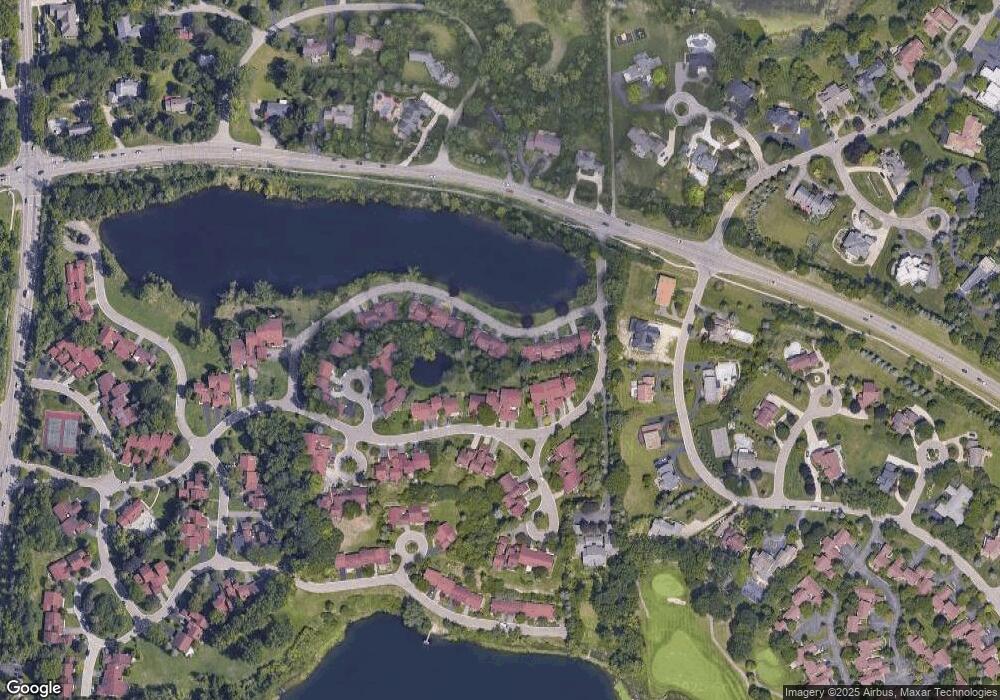
Map
Nearby Homes
- 2045 Bordeaux St Unit 5
- 4033 Fox Lake Dr
- 1887 Harvest Ln
- 4170 Prescott Park Cir
- 4174 Prescott Park Cir
- 2276 Shore Hill Dr
- 1795 Golf Ridge Dr Unit 19
- 1853 W Bend Dr
- 3468 Pine Estates Dr
- 4260 E Newland Dr
- 1920 Pine Ridge Ln
- 3668 Bayou Dr
- 1992 Bent Tree Trail
- 4297 Wabeek Lake Dr S Unit 26
- 3870 Glen Falls Dr
- 2954 Long Ridge Ct
- 0 Wendell Rd Unit 20250033815
- 3377 Indian Summer Dr
- 4274 Wendell Rd
- 2372 Pine Lake Rd
- 2077 Burgundy St Unit 114
- 2093 Burgundy St Unit 112
- 2078 Bordeaux St
- 2045 Burgundy St Unit 118
- 2002 Bordeaux St
- 2102 Bordeaux St
- 2120 Bordeaux St
- 2120 Bordeaux St Unit 12, 133
- 2120 Bordeaux St Unit 133
- 2011 Bordeaux St Unit 1 L
- 2011 Bordeaux St
- 2011 Bordeaux St Unit 16, 1 L
- 2144 Bordeaux St Unit 137
- 2031 W Long Lake Rd
- 2031 W Long Lake Rd Unit SHORES
- 2109 Bordeaux St Unit 14
- 2069 Bordeaux St
- 2069 Bordeaux St Unit 8
- 1985 Golf Ridge Dr
- 1979 Golf Ridge Dr