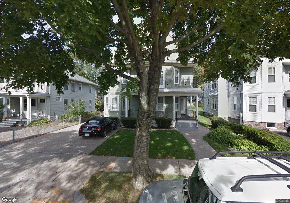
2077 Commonwealth Ave Auburndale, MA 02466
Auburndale NeighborhoodEstimated Value: $1,376,000 - $1,467,000
5
Beds
2
Baths
3,022
Sq Ft
$469/Sq Ft
Est. Value
About This Home
This home is located at 2077 Commonwealth Ave, Auburndale, MA 02466 and is currently estimated at $1,418,163, approximately $469 per square foot. 2077 Commonwealth Ave is a home located in Middlesex County with nearby schools including C.C. Burr, F.A. Day Middle School, and Newton North High School.
Ownership History
Date
Name
Owned For
Owner Type
Purchase Details
Closed on
Aug 24, 2023
Sold by
Mandatori David N
Bought by
David N Mandatori T N and David Mandatori
Current Estimated Value
Purchase Details
Closed on
Sep 17, 2003
Sold by
Mandatori Frank R
Bought by
Mandatori Frank R and Mandatori David N
Create a Home Valuation Report for This Property
The Home Valuation Report is an in-depth analysis detailing your home's value as well as a comparison with similar homes in the area
Home Values in the Area
Average Home Value in this Area
Purchase History
| Date | Buyer | Sale Price | Title Company |
|---|---|---|---|
| David N Mandatori T N | -- | None Available | |
| Mandatori Frank R | -- | -- | |
| Mandatori Frank R | -- | -- |
Source: Public Records
Tax History Compared to Growth
Tax History
| Year | Tax Paid | Tax Assessment Tax Assessment Total Assessment is a certain percentage of the fair market value that is determined by local assessors to be the total taxable value of land and additions on the property. | Land | Improvement |
|---|---|---|---|---|
| 2025 | $9,918 | $1,012,000 | $759,900 | $252,100 |
| 2024 | $9,589 | $982,500 | $737,800 | $244,700 |
| 2023 | $9,198 | $903,500 | $588,300 | $315,200 |
| 2022 | $8,801 | $836,600 | $544,700 | $291,900 |
| 2021 | $8,258 | $767,500 | $499,700 | $267,800 |
| 2020 | $8,013 | $767,500 | $499,700 | $267,800 |
| 2019 | $7,496 | $717,300 | $467,000 | $250,300 |
| 2018 | $7,436 | $687,200 | $438,400 | $248,800 |
| 2017 | $7,011 | $630,500 | $402,200 | $228,300 |
| 2016 | $6,582 | $578,400 | $369,000 | $209,400 |
| 2015 | $6,276 | $540,600 | $344,900 | $195,700 |
Source: Public Records
Map
Nearby Homes
- 283 Melrose St
- 226 Auburn St Unit 226
- 224 Auburn St Unit 224
- 224 Auburn St Unit A
- 2202 Commonwealth Ave Unit 2
- 2202 Commonwealth Ave Unit 1
- 62-64 Rowe St Unit B
- 160 Pine St Unit 12
- 13 Weir St
- 17 Lasell St
- 49 Staniford St
- 17 Crescent St
- 10 Crescent St Unit 1
- 10 Crescent St Unit 2
- 51 Bourne St
- 17 Gilbert St
- 27 Oakwood Rd
- 1639 Washington St
- 0 Duncan Rd Unit 72925240
- 283 Woodland Rd
- 2071 Commonwealth Ave Unit 2073
- 2081 Commonwealth Ave
- 2081 Commonwealth Ave Unit 1
- 2069 Commonwealth Ave
- 2085 Commonwealth Ave
- 2085 Commonwealth Ave Unit 26
- 2085 Commonwealth Ave Unit 2
- 406 Lexington St
- 2065 Commonwealth Ave Unit 2065A
- 2065 Commonwealth Ave
- 2065 Commonwealth Ave Unit 25
- 2065 Commonwealth Ave Unit 2
- 2065 Commonwealth Ave Unit 1
- 464 Wolcott St
- 472 Wolcott St
- 454 Wolcott St
- 2061 Commonwealth Ave
- 2061 Commonwealth Ave Unit 2
- 2057 Commonwealth Ave
- 430 Lexington St