2077 Dead Indian Memorial Rd Ashland, OR 97520
Estimated Value: $1,097,000 - $1,270,561
4
Beds
3
Baths
4,303
Sq Ft
$277/Sq Ft
Est. Value
About This Home
This home is located at 2077 Dead Indian Memorial Rd, Ashland, OR 97520 and is currently estimated at $1,193,187, approximately $277 per square foot. 2077 Dead Indian Memorial Rd is a home located in Jackson County with nearby schools including Bellview Elementary School, Ashland Middle School, and Ashland High School.
Ownership History
Date
Name
Owned For
Owner Type
Purchase Details
Closed on
May 7, 2004
Sold by
Harris Daniel L and Harris Susan L
Bought by
Penner Tom and Penner Paris
Current Estimated Value
Home Financials for this Owner
Home Financials are based on the most recent Mortgage that was taken out on this home.
Original Mortgage
$97,000
Interest Rate
5.38%
Mortgage Type
Purchase Money Mortgage
Create a Home Valuation Report for This Property
The Home Valuation Report is an in-depth analysis detailing your home's value as well as a comparison with similar homes in the area
Home Values in the Area
Average Home Value in this Area
Purchase History
| Date | Buyer | Sale Price | Title Company |
|---|---|---|---|
| Penner Tom | $232,000 | -- |
Source: Public Records
Mortgage History
| Date | Status | Borrower | Loan Amount |
|---|---|---|---|
| Closed | Penner Tom | $97,000 | |
| Closed | Penner Tom | $72,680 |
Source: Public Records
Tax History Compared to Growth
Tax History
| Year | Tax Paid | Tax Assessment Tax Assessment Total Assessment is a certain percentage of the fair market value that is determined by local assessors to be the total taxable value of land and additions on the property. | Land | Improvement |
|---|---|---|---|---|
| 2025 | $8,898 | $669,530 | $155,230 | $514,300 |
| 2024 | $8,898 | $650,030 | $226,880 | $423,150 |
| 2023 | $8,606 | $631,100 | $220,270 | $410,830 |
| 2022 | $8,325 | $631,100 | $220,270 | $410,830 |
| 2021 | $8,034 | $612,720 | $213,850 | $398,870 |
| 2020 | $7,811 | $594,880 | $207,610 | $387,270 |
| 2019 | $7,647 | $560,740 | $195,700 | $365,040 |
| 2018 | $7,211 | $544,410 | $190,000 | $354,410 |
| 2017 | $7,184 | $544,410 | $190,000 | $354,410 |
| 2016 | $6,897 | $513,170 | $213,370 | $299,800 |
| 2015 | $6,681 | $513,170 | $213,370 | $299,800 |
| 2014 | $6,457 | $483,720 | $201,130 | $282,590 |
Source: Public Records
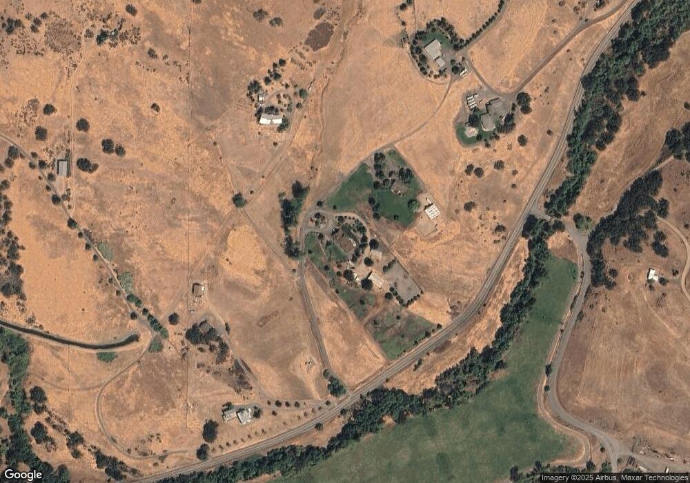
Map
Nearby Homes
- 2011 Dead Indian Memorial Rd
- 1475 Dead Indian Memorial Rd
- 988 Dead Indian Memorial Rd
- 245 Majestic Ln
- 0 Dead Indian Memorial Rd Unit 1400
- 2809 Dead Indian Memorial Rd
- 30 Knoll Crest Dr
- 786 Pompadour Dr
- 551 Sutton Place
- 500 Pompadour Dr
- 288 Maywood Way
- 697 Oak Knoll Dr
- 738 Fairway Ct
- 3345 Hwy 66 Hwy
- 3345 Highway 66
- 767 Twin Pines Cir
- 690 Spring Creek Dr
- 854 Twin Pines Cir Unit 7
- 795 Oak Knoll Dr
- 805 Oak Knoll Dr
- 2101 Dead Indian Memorial Rd
- 2021 Dead Indian Memorial Rd
- 1800 Dead Indian Memorial Rd
- 1800 Dead Indian Memorial Rd
- 1800 Dead Indian Memorial Rd Unit 306
- 1800 Dead Indian Memorial Rd
- 0 Oak St Unit 102600739
- 0 Ashland Loop Rd Unit 100068843
- 0 Dead Indian Memorial Cove Rd Unit 100264407
- 0 Ashland Creek Dr Unit 13 100259168
- 0 Ashland Loop Rd Unit 100260086
- 0 Ashland Loop Rd Unit 100256706
- 0 Waterline Rd Unit 100080336
- 0 Oak St Unit 100080878
- 0 Ashland Loop Rd Unit 100066896
- 0 Ashland Loop Rd Unit 100251395
- 0 Ashland Creek Dr Unit 12 100250929
- 0 Sunnyview Unit 100079162
- 0 Siskiyou Blvd Unit 100245876
- 0 Ashland Loop Rd Unit 100991766