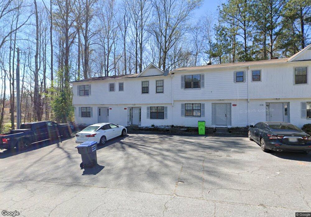
2077 Drennon Ave Austell, GA 30106
Estimated Value: $150,918 - $186,000
2
Beds
3
Baths
1,078
Sq Ft
$152/Sq Ft
Est. Value
About This Home
This home is located at 2077 Drennon Ave, Austell, GA 30106 and is currently estimated at $164,230, approximately $152 per square foot. 2077 Drennon Ave is a home located in Cobb County with nearby schools including Clarkdale Elementary School, Garrett Middle School, and South Cobb High School.
Ownership History
Date
Name
Owned For
Owner Type
Purchase Details
Closed on
Jun 15, 2005
Sold by
Bryce Carlton K and Bryce Marcia
Bought by
Bao G
Current Estimated Value
Purchase Details
Closed on
May 22, 2001
Sold by
Clay Roselin H
Bought by
Bryce Carlton K and Bryce Marcia H
Home Financials for this Owner
Home Financials are based on the most recent Mortgage that was taken out on this home.
Original Mortgage
$52,200
Interest Rate
7.16%
Mortgage Type
New Conventional
Create a Home Valuation Report for This Property
The Home Valuation Report is an in-depth analysis detailing your home's value as well as a comparison with similar homes in the area
Home Values in the Area
Average Home Value in this Area
Purchase History
| Date | Buyer | Sale Price | Title Company |
|---|---|---|---|
| Bao G | $845,000 | -- | |
| Bryce Carlton K | $58,000 | -- |
Source: Public Records
Mortgage History
| Date | Status | Borrower | Loan Amount |
|---|---|---|---|
| Previous Owner | Bryce Carlton K | $52,200 |
Source: Public Records
Tax History
| Year | Tax Paid | Tax Assessment Tax Assessment Total Assessment is a certain percentage of the fair market value that is determined by local assessors to be the total taxable value of land and additions on the property. | Land | Improvement |
|---|---|---|---|---|
| 2025 | $1,795 | $59,588 | $16,000 | $43,588 |
| 2024 | $674 | $22,344 | $4,000 | $18,344 |
| 2023 | $674 | $22,344 | $4,000 | $18,344 |
Source: Public Records
Map
Nearby Homes
- 2085 Lenoa Ln
- 2083 Lenoa Ln
- 2081 Lenoa Ln
- 4420 Pink Rose Ct
- 2034 Drennon Ave
- 2026 Drennon Ave
- 2013 Chesley Dr
- 2110 Plum Ln
- 4349 Kousa Rd Unit 4
- 1951 Bay Beauty Ln Unit 10
- 4630 Hemlock Dr
- 1808 Elmwood Dr
- 2349 Shire Ct
- 2373 Buckley Ct
- 4688 Bennett St
- 4809 Hemlock Dr
- 4814 Clove Dr SW
- 4747 Nelda Dr
- 1741 Seayes Rd
- 4778 Garrett Dr SW
- 2079 Drennon Ave
- 2075 Drennon Ave
- 2081 Drennon Ave
- 2083 Drennon Ave
- 2085 Drennon Ave
- 1999 Padgett Dr
- 2087 Drennon Ave
- 2000 Padgett Dr
- 1997 Padgett Dr
- 2089 Drennon Ave
- 1998 Padgett Dr
- 4429 Pink Rose Ct
- 1995 Padgett Dr
- 1996 Padgett Dr
- 2091 Drennon Ave
- 1993 Padgett Dr
- 4428 Pink Rose Ct
- 1994 Padgett Dr Unit 1
- 1994 Padgett Dr
- 2093 Drennon Ave
Your Personal Tour Guide
Ask me questions while you tour the home.