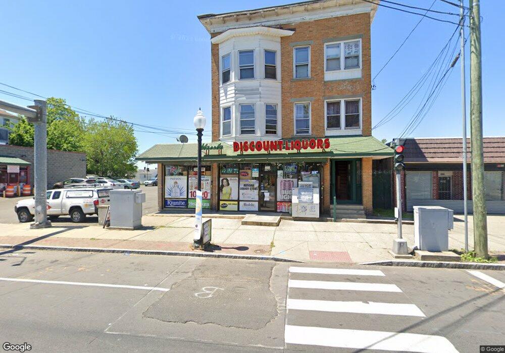
2077 E Main St Bridge Port, CT 06610
North Bridgeport NeighborhoodEstimated Value: $392,539
About This Home
This home is located at 2077 E Main St, Bridge Port, CT 06610 and is currently estimated at $392,539, approximately $72 per square foot. 2077 E Main St is a home located in Fairfield County with nearby schools including Beardsley School, Harding High School, and Achievement First Bridgeport Academy Elementary School.
Ownership History
We collect this data history from publicly available records. To have your information removed, we recommend requesting removal directly through your county’s website.
Purchase Details
Home Financials for this Owner
Home Financials are based on the most recent Mortgage that was taken out on this home.Purchase Details
Home Financials for this Owner
Home Financials are based on the most recent Mortgage that was taken out on this home.Purchase Details
Home Values in the Area
Average Home Value in this Area
Purchase History
We collect this data history from publicly available records. To have your information removed, we recommend requesting removal directly through your county’s website.
| Date | Buyer | Sale Price | Title Company |
|---|---|---|---|
| $275,000 | -- | ||
| $275,000 | -- | ||
| $58,000 | -- | ||
| $58,000 | -- | ||
| $28,000 | -- | ||
| $28,000 | -- | ||
| $28,000 | -- | ||
| $28,000 | -- |
Mortgage History
We collect this data history from publicly available records. To have your information removed, we recommend requesting removal directly through your county’s website.
| Date | Status | Borrower | Loan Amount |
|---|---|---|---|
| Open | $220,000 | ||
| Closed | $220,000 | ||
| Previous Owner | $145,000 |
Tax History
We collect this data history from publicly available records. To have your information removed, we recommend requesting removal directly through your county’s website.
| Year | Tax Paid | Tax Assessment Tax Assessment Total Assessment is a certain percentage of the fair market value that is determined by local assessors to be the total taxable value of land and additions on the property. | Land | Improvement |
|---|---|---|---|---|
| 2025 | $11,436 | $263,210 | $77,300 | $185,910 |
| 2024 | $11,436 | $263,210 | $77,300 | $185,910 |
| 2023 | $11,436 | $263,210 | $77,300 | $185,910 |
| 2022 | $11,436 | $263,210 | $77,300 | $185,910 |
| 2021 | $11,436 | $263,210 | $77,300 | $185,910 |
| 2020 | $13,595 | $251,800 | $63,310 | $188,490 |
| 2019 | $13,595 | $251,800 | $63,310 | $188,490 |
| 2018 | $13,690 | $251,800 | $63,310 | $188,490 |
| 2017 | $13,690 | $251,800 | $63,310 | $188,490 |
| 2016 | $13,690 | $251,800 | $63,310 | $188,490 |
| 2015 | $11,697 | $277,180 | $77,370 | $199,810 |
| 2014 | $11,697 | $277,180 | $77,370 | $199,810 |
Map
- 56 Texas Ave
- 95 Ashley St
- 202 Goddard Ave
- 183 Livingston Place Unit 12
- 183 Livingston Place Unit 3
- 7 Horace St
- 73 Goddard Ave
- 31-33 Plymouth St
- 261 Pennsylvania Ave
- 114 Colony St
- 739-743 Brooks St
- 31 Nob Hill Cir Unit A
- 264 Texas Ave
- 58 Mencel Cir Unit C
- 49 Mencel Cir Unit B
- 339 Pearl St
- 1218 Kossuth St
- 120 Huntington Turnpike Unit 809
- 619 Brooks St Unit 621
- 12 Court c Unit Bdlg 61
- 796 Huntington Rd
- 806 Huntington Rd Unit 808
- 782 Huntington Rd
- 780 Huntington Rd
- 2085 E Main St
- 772 Huntington Rd Unit 774
- 176 Magnolia St
- 2115 E Main St
- 2127 E Main St Unit 2
- 2127 E Main St
- 2125 E Main St
- 2125 E Main St Unit 1st Fl.
- 2125 E Main St Unit 2nd Fl.
- 2125 E Main St Unit 2127
- 764 Huntington Rd
- 775 Huntington Rd Unit 777
- 2129 E Main St Unit 3
- 763 Huntington Rd
- 2133 E Main St
- 765 Huntington Rd Unit 767
Ask me questions while you tour the home.