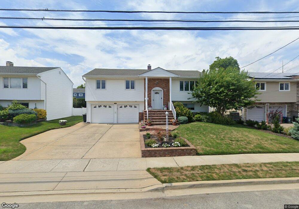
2077 Illona Ln Merrick, NY 11566
Estimated Value: $765,000 - $817,585
--
Bed
3
Baths
1,210
Sq Ft
$654/Sq Ft
Est. Value
About This Home
This home is located at 2077 Illona Ln, Merrick, NY 11566 and is currently estimated at $791,293, approximately $653 per square foot. 2077 Illona Ln is a home located in Nassau County with nearby schools including Burcham Elementary School, Merrick Avenue Middle School, and John F. Kennedy High School.
Ownership History
Date
Name
Owned For
Owner Type
Purchase Details
Closed on
Nov 17, 2022
Sold by
Kroll Samuel Robert
Bought by
Abgarian Jennifer and Abgarian Matthew
Current Estimated Value
Home Financials for this Owner
Home Financials are based on the most recent Mortgage that was taken out on this home.
Original Mortgage
$548,000
Outstanding Balance
$531,407
Interest Rate
7.08%
Mortgage Type
New Conventional
Estimated Equity
$259,886
Purchase Details
Closed on
Mar 20, 2022
Sold by
Kroll Brian and Kroll Irene M
Bought by
Kroll Samuel Robert
Create a Home Valuation Report for This Property
The Home Valuation Report is an in-depth analysis detailing your home's value as well as a comparison with similar homes in the area
Home Values in the Area
Average Home Value in this Area
Purchase History
| Date | Buyer | Sale Price | Title Company |
|---|---|---|---|
| Abgarian Jennifer | $685,000 | Old Republic Natl Ttl Ins Co | |
| Kroll Samuel Robert | -- | None Available |
Source: Public Records
Mortgage History
| Date | Status | Borrower | Loan Amount |
|---|---|---|---|
| Open | Abgarian Jennifer | $548,000 |
Source: Public Records
Tax History Compared to Growth
Tax History
| Year | Tax Paid | Tax Assessment Tax Assessment Total Assessment is a certain percentage of the fair market value that is determined by local assessors to be the total taxable value of land and additions on the property. | Land | Improvement |
|---|---|---|---|---|
| 2025 | $16,392 | $540 | $237 | $303 |
| 2024 | $3,797 | $564 | $248 | $316 |
| 2023 | $15,317 | $592 | $260 | $332 |
| 2022 | $15,317 | $623 | $274 | $349 |
| 2021 | $21,529 | $608 | $267 | $341 |
| 2020 | $10,957 | $654 | $653 | $1 |
| 2019 | $3,260 | $701 | $672 | $29 |
| 2018 | $7,780 | $747 | $0 | $0 |
| 2017 | $6,074 | $794 | $677 | $117 |
| 2016 | $9,472 | $840 | $667 | $173 |
| 2015 | $3,308 | $887 | $530 | $357 |
| 2014 | $3,308 | $887 | $530 | $357 |
| 2013 | $3,171 | $902 | $539 | $363 |
Source: Public Records
Map
Nearby Homes
- 2074 Ellen Dr
- 2956 Judith Dr
- 2858 Shore Rd
- 2884 Bay Dr
- 2468 Riviera Ln
- 2863 Harbor Rd
- 2072 Brighton Way
- 2810 Wynsum Ave
- 2819 Harbor Rd
- 1944 Lowell Ln
- 2903 Preston Ln
- 110 Hampton Way
- 2998 Joyce Ln
- 1952 Julian Ln
- 2466 Army Place
- 3142 Shore Rd
- 2770 Lincoln Blvd
- 3101 Lonni Ln
- 2072 Legion St
- 2729 Shore Dr