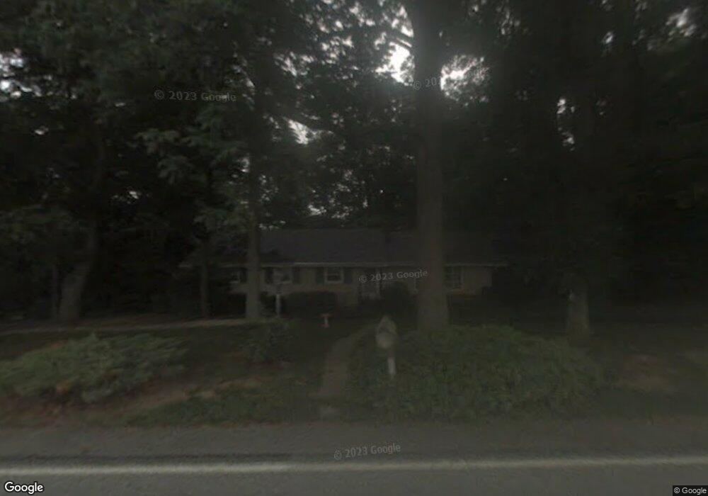
2077 Millstream Rd Lancaster, PA 17602
Fertility NeighborhoodEstimated Value: $374,000 - $446,000
3
Beds
3
Baths
1,778
Sq Ft
$234/Sq Ft
Est. Value
About This Home
This home is located at 2077 Millstream Rd, Lancaster, PA 17602 and is currently estimated at $416,702, approximately $234 per square foot. 2077 Millstream Rd is a home located in Lancaster County with nearby schools including Smoketown Elementary School, Gerald G. Huesken Middle School, and Conestoga Valley High School.
Ownership History
Date
Name
Owned For
Owner Type
Purchase Details
Closed on
Dec 28, 2018
Sold by
Krantz Esther J
Bought by
Sejas Mathew
Current Estimated Value
Home Financials for this Owner
Home Financials are based on the most recent Mortgage that was taken out on this home.
Original Mortgage
$198,810
Outstanding Balance
$175,843
Interest Rate
4.9%
Mortgage Type
New Conventional
Estimated Equity
$240,859
Create a Home Valuation Report for This Property
The Home Valuation Report is an in-depth analysis detailing your home's value as well as a comparison with similar homes in the area
Home Values in the Area
Average Home Value in this Area
Purchase History
| Date | Buyer | Sale Price | Title Company |
|---|---|---|---|
| Sejas Mathew | $220,900 | Ibis Abstract Llc |
Source: Public Records
Mortgage History
| Date | Status | Borrower | Loan Amount |
|---|---|---|---|
| Open | Sejas Mathew | $198,810 |
Source: Public Records
Tax History Compared to Growth
Tax History
| Year | Tax Paid | Tax Assessment Tax Assessment Total Assessment is a certain percentage of the fair market value that is determined by local assessors to be the total taxable value of land and additions on the property. | Land | Improvement |
|---|---|---|---|---|
| 2025 | $4,511 | $222,800 | $71,600 | $151,200 |
| 2024 | $4,511 | $222,800 | $71,600 | $151,200 |
| 2023 | $4,406 | $222,800 | $71,600 | $151,200 |
| 2022 | $4,297 | $222,800 | $71,600 | $151,200 |
| 2021 | $4,145 | $222,800 | $71,600 | $151,200 |
| 2020 | $4,145 | $222,800 | $71,600 | $151,200 |
| 2019 | $4,056 | $222,800 | $71,600 | $151,200 |
| 2018 | $5,776 | $222,800 | $71,600 | $151,200 |
| 2017 | $3,812 | $176,100 | $51,200 | $124,900 |
| 2016 | $3,767 | $176,100 | $51,200 | $124,900 |
| 2015 | $962 | $176,100 | $51,200 | $124,900 |
| 2014 | $2,516 | $176,100 | $51,200 | $124,900 |
Source: Public Records
Map
Nearby Homes
- 455 Garland Cir
- 502 Country Meadows Dr
- 166 Huntingwood Dr
- 71 Black Oak Dr Unit 71
- 1886 Conard Rd
- 25 Homestead Dr
- 1731 Windy Hill Rd
- 1721 Windy Hill Rd
- 278 Steepbank Rd
- 1716 Newport Dr
- 2 Resch Ln
- 1827 Krystle Dr
- 2315 Old Philadelphia Pike
- 92 Glendale Dr
- 129 S Eastland Dr
- 2439 Ellendale Dr
- 2453 Lincoln Hwy E
- 2328 Rockvale Rd
- 1693 Pioneer Rd
- 97 Duncan St
- 2069 Millstream Rd
- 2081 Millstream Rd
- 2068 Millstream Rd
- 2065 Millstream Rd
- 2066 Millstream Rd
- 2063 Millstream Rd
- 2064 Millstream Rd
- 458 Coreopsis Dr
- 457 Coreopsis Dr
- 456 Coreopsis Dr
- 2100 Millstream Rd
- 2061 Millstream Rd
- 455 Coreopsis Dr
- 458 Garland Cir
- 456 Garland Cir
- 459 Garland Cir
- 453 Coreopsis Dr
- 457 Garland Cir
- 452 Coreopsis Dr
- 2062 Millstream Rd