Estimated Value: $96,000 - $125,000
3
Beds
1
Bath
1,024
Sq Ft
$104/Sq Ft
Est. Value
About This Home
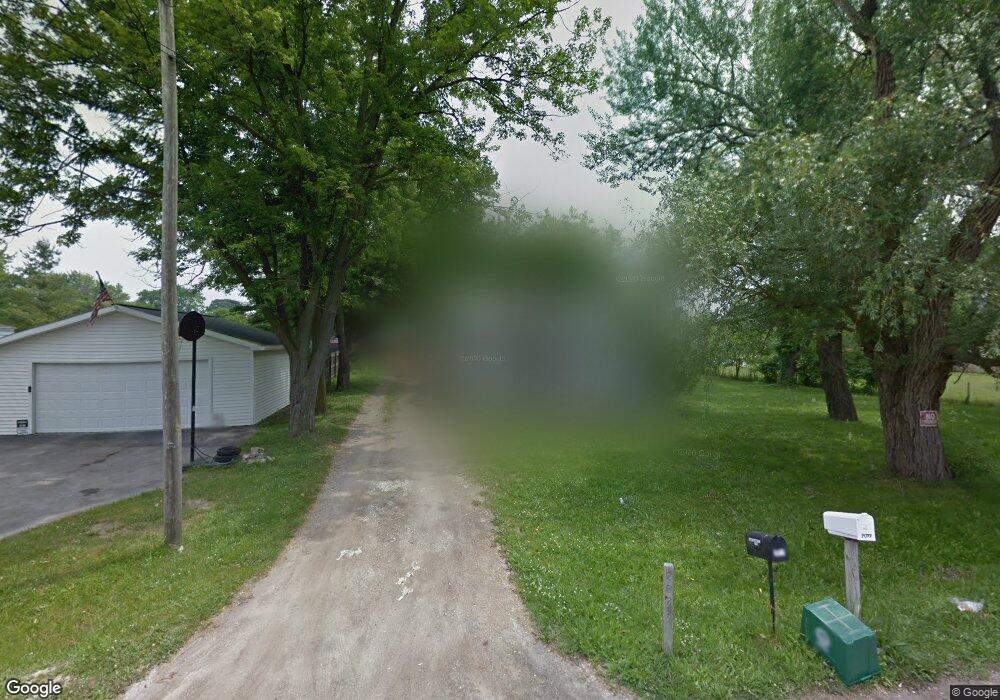
This home is located at 2077 Pound Dr, Flint, MI 48532 and is currently estimated at $106,192, approximately $103 per square foot. 2077 Pound Dr is a home located in Genesee County with nearby schools including Carman-Ainsworth High School, Genesee STEM Academy, and St. Paul Lutheran School.
Ownership History
Date
Name
Owned For
Owner Type
Purchase Details
Closed on
Nov 2, 2005
Sold by
Panfila Z Sweeney Revocable Trust
Bought by
Sweeney Panfila Z
Current Estimated Value
Home Financials for this Owner
Home Financials are based on the most recent Mortgage that was taken out on this home.
Original Mortgage
$20,000
Interest Rate
6.04%
Mortgage Type
New Conventional
Purchase Details
Closed on
Jul 14, 2005
Sold by
Sweeney Panfila Z
Bought by
Panfila Z Sweeney Revocable Trust
Purchase Details
Closed on
Sep 22, 1999
Sold by
Maurina Irene K
Bought by
Sweeney Miles J and Sweeney Pamfila Z
Create a Home Valuation Report for This Property
The Home Valuation Report is an in-depth analysis detailing your home's value as well as a comparison with similar homes in the area
Home Values in the Area
Average Home Value in this Area
Purchase History
| Date | Buyer | Sale Price | Title Company |
|---|---|---|---|
| Sweeney Panfila Z | -- | Greco Title | |
| Panfila Z Sweeney Revocable Trust | -- | -- | |
| Sweeney Panfila Z | -- | -- | |
| Sweeney Miles J | $23,900 | -- |
Source: Public Records
Mortgage History
| Date | Status | Borrower | Loan Amount |
|---|---|---|---|
| Closed | Sweeney Panfila Z | $20,000 |
Source: Public Records
Tax History
| Year | Tax Paid | Tax Assessment Tax Assessment Total Assessment is a certain percentage of the fair market value that is determined by local assessors to be the total taxable value of land and additions on the property. | Land | Improvement |
|---|---|---|---|---|
| 2025 | $1,391 | $39,700 | $0 | $0 |
| 2024 | $836 | $34,000 | $0 | $0 |
| 2023 | $790 | $31,800 | $0 | $0 |
| 2022 | $500 | $23,900 | $0 | $0 |
| 2021 | $490 | $20,800 | $0 | $0 |
| 2020 | $714 | $19,800 | $0 | $0 |
| 2019 | $1,033 | $18,000 | $0 | $0 |
| 2018 | $1,685 | $18,200 | $0 | $0 |
| 2017 | $1,657 | $18,200 | $0 | $0 |
| 2016 | $1,564 | $18,200 | $0 | $0 |
| 2015 | $954 | $16,800 | $0 | $0 |
| 2014 | $682 | $16,300 | $0 | $0 |
| 2012 | -- | $19,500 | $19,500 | $0 |
Source: Public Records
Map
Nearby Homes
- 4051 Red Wing Dr
- 1512 Crescent Lane Dr Lot#46
- 18.41 Taft Rd
- 3277 Whitney Ave
- VL Clairmont St
- 4199 Sheraton Dr
- 10 Acres T A Mansour Blvd
- 3320 Timberview St
- 3493 Ridgecliffe Dr
- 3918 Larchmont St
- 4474 Corunna Rd
- 3825 Arlene Ave
- 3288 Tall Oaks Ct
- 2379 Hialeah Dr
- 4480 Corunna Rd
- 3522 Ridgecliffe Dr
- 3801 Augusta St
- 1455 S Linden Rd
- 0 Charter Dr Unit 50153638
- 874 Tacken St
Your Personal Tour Guide
Ask me questions while you tour the home.