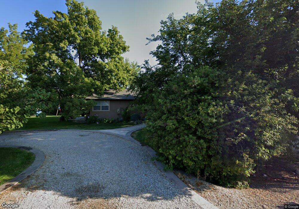
20771 Locust Hill Dr Greenleaf, ID 83626
Estimated Value: $422,000 - $490,000
4
Beds
3
Baths
1,188
Sq Ft
$383/Sq Ft
Est. Value
About This Home
This home is located at 20771 Locust Hill Dr, Greenleaf, ID 83626 and is currently estimated at $455,508, approximately $383 per square foot. 20771 Locust Hill Dr is a home located in Canyon County with nearby schools including West Canyon Elementary School, Vallivue Middle School, and Vallivue High School.
Ownership History
Date
Name
Owned For
Owner Type
Purchase Details
Closed on
Jan 2, 2019
Sold by
Douty Julie D and Douty James D
Bought by
Douty Julie D and Douty James D
Current Estimated Value
Home Financials for this Owner
Home Financials are based on the most recent Mortgage that was taken out on this home.
Original Mortgage
$65,500
Interest Rate
4.8%
Mortgage Type
Stand Alone Second
Create a Home Valuation Report for This Property
The Home Valuation Report is an in-depth analysis detailing your home's value as well as a comparison with similar homes in the area
Home Values in the Area
Average Home Value in this Area
Purchase History
| Date | Buyer | Sale Price | Title Company |
|---|---|---|---|
| Douty Julie D | -- | Titleone Boise |
Source: Public Records
Mortgage History
| Date | Status | Borrower | Loan Amount |
|---|---|---|---|
| Closed | Douty Julie D | $65,500 |
Source: Public Records
Tax History Compared to Growth
Tax History
| Year | Tax Paid | Tax Assessment Tax Assessment Total Assessment is a certain percentage of the fair market value that is determined by local assessors to be the total taxable value of land and additions on the property. | Land | Improvement |
|---|---|---|---|---|
| 2025 | $1,637 | $415,200 | $133,300 | $281,900 |
| 2024 | $1,637 | $395,200 | $133,300 | $261,900 |
| 2023 | $2,065 | $395,200 | $133,300 | $261,900 |
| 2022 | $2,065 | $428,600 | $150,000 | $278,600 |
| 2021 | $1,780 | $291,500 | $80,500 | $211,000 |
| 2020 | $1,770 | $236,130 | $62,330 | $173,800 |
| 2019 | $1,610 | $211,080 | $53,480 | $157,600 |
| 2018 | $1,473 | $0 | $0 | $0 |
| 2017 | $1,364 | $0 | $0 | $0 |
| 2016 | $1,239 | $0 | $0 | $0 |
| 2015 | $1,011 | $0 | $0 | $0 |
| 2014 | $917 | $100,800 | $25,300 | $75,500 |
Source: Public Records
Map
Nearby Homes
- 20574 Brown St
- 20106 Lower Pleasant Ridge Rd Unit 29
- 19276 Quarter Mile Ln
- 20894 Friends Rd
- TBD Simplot Blvd
- 19250 Quarter Mile Ln
- 21017 Cottonwood Dr
- 21021 Cottonwood Dr
- 20777 Upper Pleasant Ridge Rd
- 21325 Cessna Ct
- TBD Upper Pleasant Ridge Rd
- 20383 Maggard Ln
- 000 Lower Pleasant Ridge Rd
- 18835 Upper Pleasant Ridge Rd
- 21474 Ustick Rd
- 18396 Lower Pleasant Ridge Rd
- 18018 Artist Way
- 22492 Aura Vista Way
- 22624 Aura Vista Way
- 22909 Cirrus View Ct
- 20283 Red Top Rd
- 20231 Top Rd
- 20335 Top Rd
- 20232 Locust Hill Dr
- TBD Locust Hill Dr
- 20323 Locust Hill Dr
- 19181 Top Rd
- 0 Top Rd Unit 98741676
- 0 Top Rd
- 20220 Locust Hill Dr
- 20731 Muddy Puddle Ln
- 20676 Muddy Puddle Ln
- 20233 Locust Hill Dr
- 20255 Locust Hill Dr
- 20181 Top Rd
- 20323 Top Rd
- 20192 Locust Hill Dr
- 20191 Locust Hill Dr
- 20157 Top Rd
- 20244 Top Rd