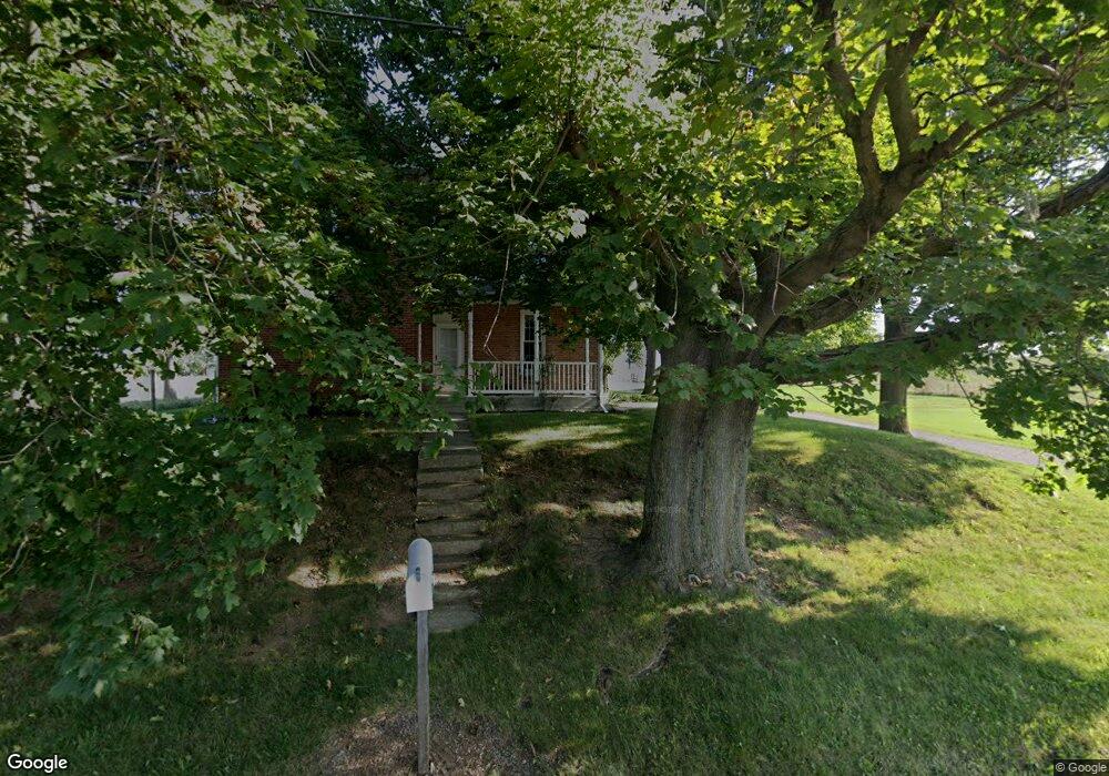
2078 Clay Hill Rd Greencastle, PA 17225
Estimated Value: $325,000 - $1,378,229
--
Bed
1
Bath
2,557
Sq Ft
$325/Sq Ft
Est. Value
About This Home
This home is located at 2078 Clay Hill Rd, Greencastle, PA 17225 and is currently estimated at $830,557, approximately $324 per square foot. 2078 Clay Hill Rd is a home located in Franklin County with nearby schools including Greencastle-Antrim Primary School, Greencastle-Antrim Elementary School, and Greencastle-Antrim Middle School.
Ownership History
Date
Name
Owned For
Owner Type
Purchase Details
Closed on
Feb 22, 2023
Sold by
Izer Alex A and Izer Erica M
Bought by
Showalter Darrel L and Showalter Karen S
Current Estimated Value
Purchase Details
Closed on
Sep 16, 2022
Sold by
Frances G Zeger Irrevocable Income Only
Bought by
Izer Alex A and Izer Erica M
Home Financials for this Owner
Home Financials are based on the most recent Mortgage that was taken out on this home.
Original Mortgage
$800,000
Interest Rate
5.13%
Mortgage Type
Credit Line Revolving
Purchase Details
Closed on
May 3, 2018
Sold by
Zeger Frances G
Bought by
Showalter Karen S and Zeger Rodney L
Create a Home Valuation Report for This Property
The Home Valuation Report is an in-depth analysis detailing your home's value as well as a comparison with similar homes in the area
Home Values in the Area
Average Home Value in this Area
Purchase History
| Date | Buyer | Sale Price | Title Company |
|---|---|---|---|
| Showalter Darrel L | -- | -- | |
| Izer Alex A | -- | Pa Real Estate Settlement Serv | |
| Showalter Karen S | -- | None Available |
Source: Public Records
Mortgage History
| Date | Status | Borrower | Loan Amount |
|---|---|---|---|
| Previous Owner | Izer Alex A | $800,000 |
Source: Public Records
Tax History Compared to Growth
Tax History
| Year | Tax Paid | Tax Assessment Tax Assessment Total Assessment is a certain percentage of the fair market value that is determined by local assessors to be the total taxable value of land and additions on the property. | Land | Improvement |
|---|---|---|---|---|
| 2025 | $4,729 | $28,270 | $10,940 | $17,330 |
| 2024 | $4,291 | $28,270 | $10,940 | $17,330 |
| 2023 | $4,273 | $28,490 | $11,160 | $17,330 |
| 2022 | $3,570 | $23,800 | $10,320 | $13,480 |
| 2021 | $3,500 | $23,800 | $10,320 | $13,480 |
| 2020 | $3,409 | $23,800 | $10,320 | $13,480 |
| 2019 | $3,332 | $23,800 | $10,320 | $13,480 |
| 2018 | $3,296 | $23,800 | $10,320 | $13,480 |
| 2017 | $3,213 | $23,800 | $10,320 | $13,480 |
| 2016 | $682 | $23,800 | $10,320 | $13,480 |
| 2015 | $635 | $23,800 | $10,320 | $13,480 |
| 2014 | $635 | $23,800 | $10,320 | $13,480 |
Source: Public Records
Map
Nearby Homes
- 9227 Grindstone Hill Rd
- 790 Antrim Ln
- 8655 Wayne Hwy
- 1631 Buchanan Trail E
- 6456 Wayne Hwy
- 7290 Angle Rd
- 1921 Hartzok Rd
- 5490 Honey Rock Ct
- 6159 Orphanage Rd
- 5434 Manheim Rd
- 4798 Gray Hawk Dr Unit 17
- 5377 Harrier Way
- 5385 Harrier Way
- 823 Buchanan Trail E
- 5118 Burkholder Rd
- TBD Harrier Way
- TBD Whippet Trail
- 12041 Koons Rd
- 602 Brookview Dr
- 1186 Clay Hill Rd
- 8988 Hades Church Rd
- 9126 Hades Church Rd
- 9190 Hades Church Rd
- 9190 Hades Church Rd
- LOT #4 Hades Church Rd
- 9344 Hades Church Rd
- 1873 Clay Hill Rd
- 9352 Hades Church Rd
- 1857 Clay Hill Rd
- 1847 Clay Hill Rd
- 9412 Hades Church Rd
- 8702 Hades Church Rd
- 8665 Hades Church Rd
- 9440 Hades Church Rd
- 9475 Hades Church Rd
- 31 Clay Hill Rd
- 9506 Hades Church Rd
- 9511 Hades Church Rd
- 8556 Hades Church Rd