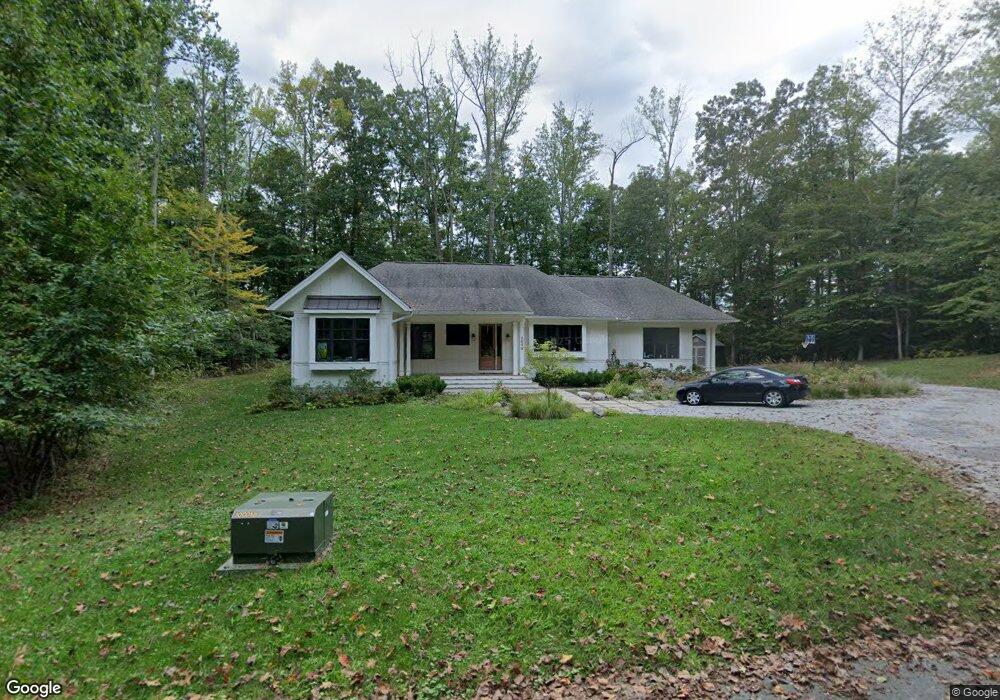
2078 Haverford Dr Crownsville, MD 21032
Estimated Value: $757,696 - $901,000
--
Bed
1
Bath
2,096
Sq Ft
$392/Sq Ft
Est. Value
About This Home
This home is located at 2078 Haverford Dr, Crownsville, MD 21032 and is currently estimated at $820,924, approximately $391 per square foot. 2078 Haverford Dr is a home located in Anne Arundel County with nearby schools including Millersville Elementary School and Old Mill High School.
Ownership History
Date
Name
Owned For
Owner Type
Purchase Details
Closed on
Feb 16, 2018
Sold by
Valentine Guy A and Medina Linda V
Bought by
Michael Brian L and Michael Leslie M
Current Estimated Value
Home Financials for this Owner
Home Financials are based on the most recent Mortgage that was taken out on this home.
Original Mortgage
$564,000
Outstanding Balance
$477,657
Interest Rate
3.99%
Mortgage Type
Construction
Estimated Equity
$343,267
Create a Home Valuation Report for This Property
The Home Valuation Report is an in-depth analysis detailing your home's value as well as a comparison with similar homes in the area
Home Values in the Area
Average Home Value in this Area
Purchase History
| Date | Buyer | Sale Price | Title Company |
|---|---|---|---|
| Michael Brian L | $170,000 | Quiet Title Llc |
Source: Public Records
Mortgage History
| Date | Status | Borrower | Loan Amount |
|---|---|---|---|
| Open | Michael Brian L | $564,000 |
Source: Public Records
Tax History Compared to Growth
Tax History
| Year | Tax Paid | Tax Assessment Tax Assessment Total Assessment is a certain percentage of the fair market value that is determined by local assessors to be the total taxable value of land and additions on the property. | Land | Improvement |
|---|---|---|---|---|
| 2025 | $6,831 | $613,933 | -- | -- |
| 2024 | $6,831 | $568,967 | $0 | $0 |
| 2023 | $6,290 | $524,000 | $218,800 | $305,200 |
| 2022 | $5,995 | $524,000 | $218,800 | $305,200 |
| 2021 | $5,995 | $524,000 | $218,800 | $305,200 |
| 2020 | $6,072 | $534,900 | $228,800 | $306,100 |
| 2019 | $5,741 | $519,900 | $0 | $0 |
| 2018 | $63 | $6,200 | $6,200 | $0 |
| 2017 | $64 | $6,200 | $0 | $0 |
| 2016 | -- | $6,200 | $0 | $0 |
| 2015 | -- | $6,200 | $0 | $0 |
| 2014 | -- | $6,200 | $0 | $0 |
Source: Public Records
Map
Nearby Homes
- 1500 Cheltenham Ct E
- 2545 Lavall Ct
- 621 Wood Lot Trail Rd
- 2612 Quiet Water Cove Unit 24
- 1306 Lavall Dr
- 932 Riversedge Cir
- 1007 Boom Ct
- 2415 Pebblebrook Ct
- 1909 Marconi Cir
- 2828 Berth Ct
- 934 Chesterfield Rd
- 1012 Mastline Dr
- 1603 Huntcliff Way
- 1907 Mackiebeth Ct
- 2900 Shipmaster Way Unit 216
- 2601 Compass Dr
- 940 Astern Way Unit 604
- 940 Astern Way Unit 309
- 2664 Compass Dr
- 930 Astern Way Unit 609
- 2083 Haverford Dr
- 2072 Haverford Dr
- 2081 Haverford Dr
- 760 Defense Hwy
- 2071 Haverford Dr
- 2069 Haverford Dr
- 2067 Haverford Dr
- 1260 Lavall Dr
- 1264 Lavall Dr
- 1262 Lavall Dr
- 1259 Lavall Dr
- 1270 Lavall Dr
- 1266 Lavall Dr
- 1513 Cheltenham Ct W
- 1268 Lavall Dr
- 1261 Lavall Dr
- 2545 Vale Ct
- 1272 Lavall Dr
- 1263 Lavall Dr
- 1274 Lavall Dr