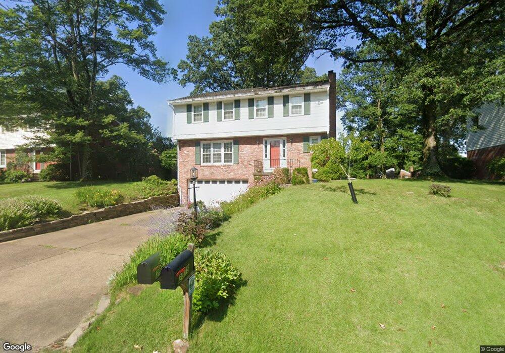
2078 Menold Dr Allison Park, PA 15101
McCandless Township NeighborhoodEstimated Value: $403,997 - $452,000
4
Beds
3
Baths
1,836
Sq Ft
$230/Sq Ft
Est. Value
About This Home
This home is located at 2078 Menold Dr, Allison Park, PA 15101 and is currently estimated at $422,749, approximately $230 per square foot. 2078 Menold Dr is a home located in Allegheny County with nearby schools including Hosack Elementary School, Carson Middle School, and North Allegheny High School.
Ownership History
Date
Name
Owned For
Owner Type
Purchase Details
Closed on
Mar 10, 2007
Sold by
Galvan Dan A
Bought by
Wetzel Curtis J
Current Estimated Value
Home Financials for this Owner
Home Financials are based on the most recent Mortgage that was taken out on this home.
Original Mortgage
$164,800
Outstanding Balance
$99,696
Interest Rate
6.25%
Mortgage Type
New Conventional
Estimated Equity
$323,053
Purchase Details
Closed on
Jun 15, 2005
Sold by
Doubleday Dennis L
Bought by
Galvan Dan A
Home Financials for this Owner
Home Financials are based on the most recent Mortgage that was taken out on this home.
Original Mortgage
$219,000
Interest Rate
5.78%
Mortgage Type
New Conventional
Purchase Details
Closed on
Jun 11, 1996
Sold by
Jones Howard T and Jones Ethel C
Bought by
Doubleday Dennis L and Doubleday Mary E
Create a Home Valuation Report for This Property
The Home Valuation Report is an in-depth analysis detailing your home's value as well as a comparison with similar homes in the area
Home Values in the Area
Average Home Value in this Area
Purchase History
| Date | Buyer | Sale Price | Title Company |
|---|---|---|---|
| Wetzel Curtis J | $206,000 | -- | |
| Galvan Dan A | $219,000 | -- | |
| Doubleday Dennis L | $143,500 | -- |
Source: Public Records
Mortgage History
| Date | Status | Borrower | Loan Amount |
|---|---|---|---|
| Open | Wetzel Curtis J | $164,800 | |
| Previous Owner | Galvan Dan A | $219,000 |
Source: Public Records
Tax History Compared to Growth
Tax History
| Year | Tax Paid | Tax Assessment Tax Assessment Total Assessment is a certain percentage of the fair market value that is determined by local assessors to be the total taxable value of land and additions on the property. | Land | Improvement |
|---|---|---|---|---|
| 2025 | $4,756 | $185,000 | $43,300 | $141,700 |
| 2024 | $4,756 | $185,000 | $43,300 | $141,700 |
| 2023 | $4,756 | $185,000 | $43,300 | $141,700 |
| 2022 | $4,645 | $185,000 | $43,300 | $141,700 |
| 2021 | $4,890 | $185,000 | $43,300 | $141,700 |
| 2020 | $4,645 | $185,000 | $43,300 | $141,700 |
| 2019 | $4,518 | $185,000 | $43,300 | $141,700 |
| 2018 | $875 | $185,000 | $43,300 | $141,700 |
| 2017 | $4,434 | $185,000 | $43,300 | $141,700 |
| 2016 | $875 | $185,000 | $43,300 | $141,700 |
| 2015 | $875 | $185,000 | $43,300 | $141,700 |
| 2014 | $4,335 | $185,000 | $43,300 | $141,700 |
Source: Public Records
Map
Nearby Homes
- 4179 Wallace Rd
- 1910 Overland Ct
- 1825 Foxcroft Ln Unit 405
- 9317 Highmeadow Rd
- 9328 Springfield Dr
- 1814 Concord Dr
- 1972 Del Prado Ct
- 1918 Concord Dr
- 9431 Springfield Dr
- 8220 Post Rd
- Lot #57 Elm St
- 8241 Thompson Run Rd
- 7069 Bennington Woods Dr
- 7052 Bennington Woods Dr
- 3943 Bonita Dr
- 3893 Ashland Ct
- 8214 Brittany Ct
- 4267 Laurel Ridge Dr
- 4313 Hemlock Cir
- 2118 Coventry Dr