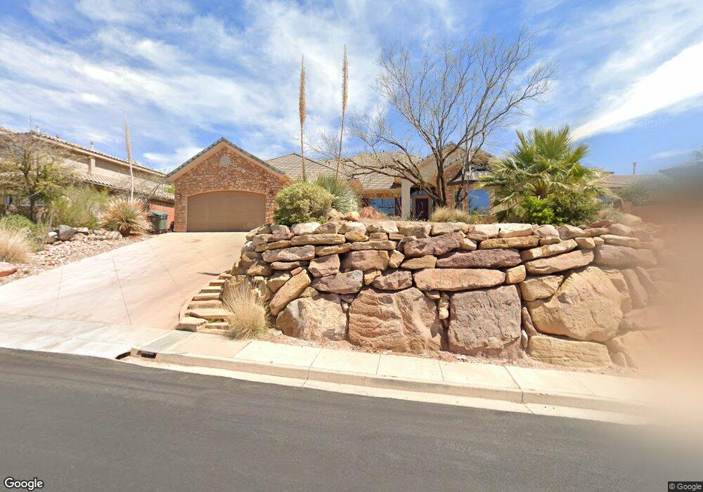
2078 N Gunsight Dr Saint George, UT 84770
Estimated Value: $648,714 - $804,000
4
Beds
3
Baths
2,644
Sq Ft
$274/Sq Ft
Est. Value
About This Home
This home is located at 2078 N Gunsight Dr, Saint George, UT 84770 and is currently estimated at $725,179, approximately $274 per square foot. 2078 N Gunsight Dr is a home located in Washington County with nearby schools including Snow Canyon Middle School, Diamond Valley School, and Lava Ridge Intermediate School.
Ownership History
Date
Name
Owned For
Owner Type
Purchase Details
Closed on
Jul 19, 2021
Sold by
Witbeck David Harold and Witbeck Keri Janece
Bought by
Dkw Holdings Lc
Current Estimated Value
Purchase Details
Closed on
Aug 28, 2014
Sold by
Mennecke Henry T and Mennecke Billie J
Bought by
Witbeck David Harold and Witbeck Keri Janece
Purchase Details
Closed on
Oct 25, 2012
Sold by
Dadsetan Ardeshir and Dadsetan Soraya
Bought by
Mennecke Henry T and Mennecke Billie J
Home Financials for this Owner
Home Financials are based on the most recent Mortgage that was taken out on this home.
Original Mortgage
$276,000
Interest Rate
3.5%
Mortgage Type
New Conventional
Create a Home Valuation Report for This Property
The Home Valuation Report is an in-depth analysis detailing your home's value as well as a comparison with similar homes in the area
Home Values in the Area
Average Home Value in this Area
Purchase History
| Date | Buyer | Sale Price | Title Company |
|---|---|---|---|
| Dkw Holdings Lc | -- | None Available | |
| Witbeck David Harold | -- | First American | |
| Mennecke Henry T | -- | Southern Utah Title |
Source: Public Records
Mortgage History
| Date | Status | Borrower | Loan Amount |
|---|---|---|---|
| Previous Owner | Mennecke Henry T | $276,000 |
Source: Public Records
Tax History Compared to Growth
Tax History
| Year | Tax Paid | Tax Assessment Tax Assessment Total Assessment is a certain percentage of the fair market value that is determined by local assessors to be the total taxable value of land and additions on the property. | Land | Improvement |
|---|---|---|---|---|
| 2025 | $2,286 | $346,665 | $93,500 | $253,165 |
| 2023 | $2,187 | $326,755 | $88,000 | $238,755 |
| 2022 | $2,385 | $335,115 | $82,500 | $252,615 |
| 2021 | $2,211 | $463,300 | $125,000 | $338,300 |
| 2020 | $2,067 | $407,900 | $100,000 | $307,900 |
| 2019 | $2,179 | $420,000 | $100,000 | $320,000 |
| 2018 | $1,974 | $196,515 | $0 | $0 |
| 2017 | $1,930 | $186,505 | $0 | $0 |
| 2016 | $2,125 | $189,915 | $0 | $0 |
| 2015 | $2,059 | $176,550 | $0 | $0 |
| 2014 | $1,957 | $168,905 | $0 | $0 |
Source: Public Records
Map
Nearby Homes
- 2294 N Gunsight Dr
- 1996 W 1940 N
- 2090 N Tuweap Dr Unit 13
- 2090 N Tuweap Dr Unit 9
- 2090 N Tuweap Dr Unit 15
- 2090 N Tuweap Dr Unit 56
- 1989 W 1800 N
- 2195 W 1970 Cir N
- 2139 W Cougar Rock Cir Unit 192
- 2139 W Cougar Rock Cir
- 2139 W Cougar Rock Cir Unit 131
- 2139 W Cougar Rock Cir Unit 179
- 2139 W Cougar Rock Cir Unit 135
- 2139 W Cougar Rock Cir Unit 192
- 2139 W Cougar Rock Cir Unit 195
- 2139 W Cougar Rock Cir Unit 182
- 1795 N Snow Canyon Parkway #40
- 1708 N 1975 W
- 1756 N 2065 W
- 1806 N Dixie Downs Rd Unit 27
- 2090 N Gunsight Dr
- 1782 Castle Rock Rd
- 1782 Castle Rock Rd Unit Lot 92
- 1782 Castle Rock Rd
- 1782 N Castle Rock Rd
- 2105 Lone Rock Dr
- 2117 Lone Rock Dr
- 2093 N Lone Rock Dr
- 2117 N Lone Rock Dr
- 2093 Lone Rock Dr
- 2102 N Gunsight Dr
- 2129 Lone Rock Dr
- 2061 N Gunsight Dr Unit 1
- 2061 N Gunsight Dr
- 2129 N Lone Rock Dr
- Lot 69 N Lone Rock Dr
- 0 N Lone Rock Dr
- 2085 N Gunsight Dr
- 2073 N Gunsight Dr
- 1779 Castle Rock Rd