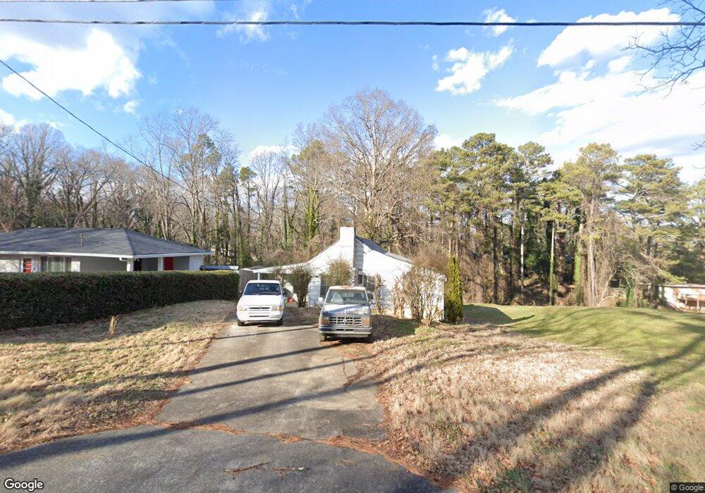
2078 Samuel Place Decatur, GA 30032
Parker NeighborhoodEstimated Value: $172,000 - $233,000
2
Beds
1
Bath
995
Sq Ft
$209/Sq Ft
Est. Value
About This Home
This home is located at 2078 Samuel Place, Decatur, GA 30032 and is currently estimated at $208,189, approximately $209 per square foot. 2078 Samuel Place is a home located in DeKalb County with nearby schools including McNair Middle School, McNair High School, and Charles Drew Charter School.
Ownership History
Date
Name
Owned For
Owner Type
Purchase Details
Closed on
Sep 8, 2023
Sold by
Key Larry
Bought by
Key Kevin
Current Estimated Value
Purchase Details
Closed on
Jun 23, 2017
Sold by
Key Milton T
Bought by
Key Larry
Home Financials for this Owner
Home Financials are based on the most recent Mortgage that was taken out on this home.
Original Mortgage
$23,000
Interest Rate
3.17%
Create a Home Valuation Report for This Property
The Home Valuation Report is an in-depth analysis detailing your home's value as well as a comparison with similar homes in the area
Home Values in the Area
Average Home Value in this Area
Purchase History
| Date | Buyer | Sale Price | Title Company |
|---|---|---|---|
| Key Kevin | -- | -- | |
| Key Larry | $35,000 | -- |
Source: Public Records
Mortgage History
| Date | Status | Borrower | Loan Amount |
|---|---|---|---|
| Previous Owner | Key Larry | $23,000 |
Source: Public Records
Tax History Compared to Growth
Tax History
| Year | Tax Paid | Tax Assessment Tax Assessment Total Assessment is a certain percentage of the fair market value that is determined by local assessors to be the total taxable value of land and additions on the property. | Land | Improvement |
|---|---|---|---|---|
| 2025 | $3,723 | $74,840 | $32,600 | $42,240 |
| 2024 | $3,464 | $69,000 | $21,920 | $47,080 |
| 2023 | $3,464 | $70,480 | $21,920 | $48,560 |
| 2022 | $2,576 | $50,960 | $4,720 | $46,240 |
| 2021 | $2,195 | $42,280 | $4,720 | $37,560 |
| 2020 | $2,200 | $42,400 | $4,720 | $37,680 |
| 2019 | $1,938 | $36,440 | $3,200 | $33,240 |
| 2018 | $1,177 | $27,360 | $3,200 | $24,160 |
| 2017 | $1,503 | $25,600 | $3,200 | $22,400 |
| 2016 | $1,129 | $17,880 | $3,200 | $14,680 |
| 2014 | $953 | $13,560 | $3,200 | $10,360 |
Source: Public Records
Map
Nearby Homes
- 2117 Samuel Place
- 2101 East Dr Unit 10
- 2139 Trailwood Rd
- 2025 East Dr
- 2146 Trailwood Rd
- 2243 Mark Trail
- 2030 Mark Trail
- 2066 Tilson Rd
- 2080 Tilson Rd
- 2334 Second Ave Unit LAND
- 2308 Mark Trail
- 1956 Joseph Ct
- 1949 Capri Dr
- 2326 Mark Trail
- 2128 Mark Trail
- 2053 Juanita St
- 1977 Camellia Dr
- 2032 Juanita St
- 2167 Tilson Rd
- 2074 Samuel Place
- 2084 Samuel Place
- 2072 Samuel Place
- 2092 Samuel Place
- 2073 Samuel Place
- 0 Samuel Place Unit 8244056
- 0 Samuel Place Unit 3258362
- 0 Samuel Place Unit 7582203
- 2087 Trailwood Rd
- 2104 Samuel Place
- 2093 Trailwood Rd
- 2095 Samuel Place
- 2062 East Dr
- 2063 Trailwood Rd
- 2074 East Dr
- 2080 East Dr
- 2097 Trailwood Rd
- 2112 Samuel Place Unit B
- 2112 Samuel Place
- 2056 East Dr