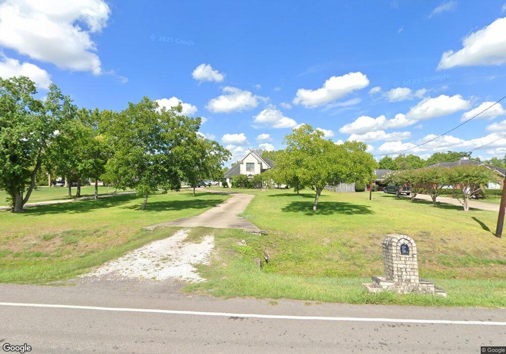
2078 Stone Rd Unit 561 Pearland, TX 77581
Estimated Value: $360,982 - $704,000
--
Bed
1
Bath
2,256
Sq Ft
$211/Sq Ft
Est. Value
About This Home
This home is located at 2078 Stone Rd Unit 561, Pearland, TX 77581 and is currently estimated at $475,496, approximately $210 per square foot. 2078 Stone Rd Unit 561 is a home located in Brazoria County with nearby schools including E A Lawhon Elementary School, Pearland Junior High School West, and Leon H. Sablatura Middle School.
Ownership History
Date
Name
Owned For
Owner Type
Purchase Details
Closed on
May 17, 1996
Sold by
Carillo Genaro and Carrillo Priscilla D
Bought by
Garcia Gerardo and Garcia Theresa R E
Current Estimated Value
Home Financials for this Owner
Home Financials are based on the most recent Mortgage that was taken out on this home.
Original Mortgage
$12,800
Outstanding Balance
$733
Interest Rate
8.06%
Estimated Equity
$474,763
Create a Home Valuation Report for This Property
The Home Valuation Report is an in-depth analysis detailing your home's value as well as a comparison with similar homes in the area
Home Values in the Area
Average Home Value in this Area
Purchase History
| Date | Buyer | Sale Price | Title Company |
|---|---|---|---|
| Garcia Gerardo | -- | -- |
Source: Public Records
Mortgage History
| Date | Status | Borrower | Loan Amount |
|---|---|---|---|
| Open | Garcia Gerardo | $12,800 |
Source: Public Records
Tax History Compared to Growth
Tax History
| Year | Tax Paid | Tax Assessment Tax Assessment Total Assessment is a certain percentage of the fair market value that is determined by local assessors to be the total taxable value of land and additions on the property. | Land | Improvement |
|---|---|---|---|---|
| 2025 | $5,247 | $336,344 | $80,070 | $271,030 |
| 2023 | $5,247 | $277,970 | $80,070 | $326,590 |
| 2022 | $6,079 | $252,700 | $67,750 | $184,950 |
| 2021 | $6,416 | $249,030 | $61,590 | $187,440 |
| 2020 | $6,157 | $228,200 | $61,590 | $166,610 |
| 2019 | $6,491 | $240,520 | $61,590 | $178,930 |
| 2018 | $7,017 | $261,150 | $73,910 | $187,240 |
| 2017 | $7,203 | $266,750 | $80,070 | $186,680 |
| 2016 | $6,573 | $286,670 | $80,070 | $206,600 |
| 2015 | $5,281 | $221,300 | $61,590 | $159,710 |
| 2014 | $5,281 | $208,670 | $61,590 | $147,080 |
Source: Public Records
Map
Nearby Homes
- 2123 Lee Rd
- 8002 Seddon Rd
- 1905 Woodglen Ct
- 1745 Stone Rd
- 8210 Mchard Rd Unit 106
- 8033 Mchard Rd Unit 106
- 8518 Hawk Rd Unit 66
- 7511 Quiet Trace Ln
- 00 Max Rd
- 1820 Hillhouse Rd
- 1938 Garden Rd Unit 169
- 1706 Roy Rd
- 2423 Roy Rd
- 8909 Hawk Rd
- 5308 Harvest Season Ln
- 5229 Cypress Rose Dr
- 6421 Green Clover Ln
- 8917 Hawk Rd
- 4910 Brookside Rd
- 2357 Sterling Dr
- 2054 Stone Rd Unit 561
- 2110 Stone Rd Unit 561
- 2046 Stone Rd Unit 561
- 2012 Granite Pass Dr
- 2014 Granite Pass Dr
- 2014 Granite Pass Dr
- 2010 Granite Pass Dr
- 2102 Granite Pass Dr
- 2030 Stone Rd
- 2104 Granite Pass Dr
- 2006 Granite Pass Dr
- 2108 Granite Pass Dr
- 7825 Hughes Ranch Rd
- 2004 Granite Pass Dr
- 2102 Stone Rd
- 2034 Stone Rd Unit 561
- 2110 Granite Pass Dr
- 2002 Granite Pass Dr
- 2103 Granite Pass Dr
- 2015 Granite Pass Dr