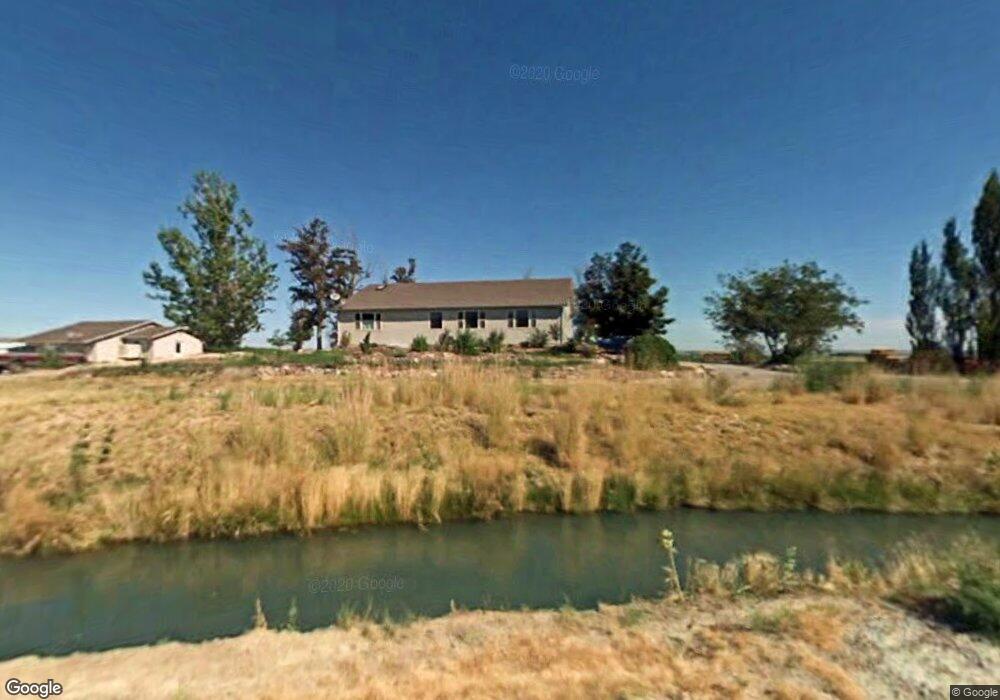
2078 Thompson Rd Homedale, ID 83628
Estimated Value: $733,000 - $975,000
5
Beds
3
Baths
3,583
Sq Ft
$236/Sq Ft
Est. Value
About This Home
This home is located at 2078 Thompson Rd, Homedale, ID 83628 and is currently estimated at $844,416, approximately $235 per square foot. 2078 Thompson Rd is a home located in Owyhee County with nearby schools including Homedale Elementary School, Homedale Middle School, and Homedale High School.
Ownership History
Date
Name
Owned For
Owner Type
Purchase Details
Closed on
Jun 19, 2025
Bought by
Michael E Mayes Family Trust and Mayes
Current Estimated Value
Purchase Details
Closed on
Nov 1, 2022
Sold by
Mayes Michael E and Mayes Rebecca E
Bought by
Mayes Michael E and Quirk Rebecca E
Purchase Details
Closed on
Apr 13, 2010
Sold by
Redding Roger and Redding Dawn Michelle
Bought by
Mayes Michael E and Quirk Rebecca E
Home Financials for this Owner
Home Financials are based on the most recent Mortgage that was taken out on this home.
Original Mortgage
$105,000
Interest Rate
4.95%
Mortgage Type
Purchase Money Mortgage
Create a Home Valuation Report for This Property
The Home Valuation Report is an in-depth analysis detailing your home's value as well as a comparison with similar homes in the area
Home Values in the Area
Average Home Value in this Area
Purchase History
| Date | Buyer | Sale Price | Title Company |
|---|---|---|---|
| Michael E Mayes Family Trust | -- | None Listed On Document | |
| Mayes Michael E | -- | None Listed On Document | |
| Mayes Michael E | -- | -- |
Source: Public Records
Mortgage History
| Date | Status | Borrower | Loan Amount |
|---|---|---|---|
| Previous Owner | Mayes Michael E | $105,000 |
Source: Public Records
Tax History Compared to Growth
Tax History
| Year | Tax Paid | Tax Assessment Tax Assessment Total Assessment is a certain percentage of the fair market value that is determined by local assessors to be the total taxable value of land and additions on the property. | Land | Improvement |
|---|---|---|---|---|
| 2024 | -- | $638,674 | $65,964 | $572,710 |
| 2023 | $2,814 | $633,174 | $65,964 | $567,210 |
| 2022 | $3,424 | $635,214 | $65,964 | $569,250 |
| 2021 | $2,327 | $413,681 | $46,901 | $366,780 |
| 2020 | $2,164 | $372,822 | $25,879 | $346,943 |
| 2019 | $2,069 | $317,829 | $25,966 | $291,863 |
| 2018 | $1,979 | $297,500 | $22,342 | $275,158 |
| 2017 | $1,962 | $302,156 | $22,305 | $279,851 |
| 2016 | $1,819 | $279,074 | $21,542 | $257,532 |
| 2014 | $1,211 | $218,304 | $19,874 | $198,430 |
| 2011 | -- | $196,680 | $14,637 | $182,043 |
Source: Public Records
Map
Nearby Homes
- 2051 Thompson Rd
- TBD Homestead Rd
- 2404 W Market Rd
- 4243 Homestead Rd
- TBD Succor Creek Rd
- 2462 Succor Creek Rd
- TBD Pioneer Rd
- 318 Packer Ln
- 5168 Jump Creek Rd
- 0 Tbd Unit 25095901
- 0 Tbd Unit 23668088
- 0 Tbd Unit 11500486
- 4109 Cemetery Rd
- TBD Jump Creek Rd 100 Ac
- TBD
- 4180 Dines Ln
- N Jump Creek Rd
- 408 S Main St
- 531 W Idaho Ave
- 101 W Utah Ave
- 2086 Thompson Rd
- 2109 Thompson Rd
- 2105 Thompson Rd
- 2191 Thompson Rd
- 2200 Thompson Rd
- 2246 Thompson Rd
- TBD Thompson Rd
- 1865 Nielson Rd
- 1866 Nielson Rd
- 1786 Nielson Rd
- 5331 Old Sullivan Ln
- 2346 Thompson Rd
- 5189 Homestead Rd
- 7ac Tbd Neilsen Ln
- 5291 Homestead Rd
- 5114 Homestead Rd
- 5186 Homestead Rd
- TBD Sage Creek Place
- TBD Sage Creek Place Lot 3
- 1672 Mule Deer Rd