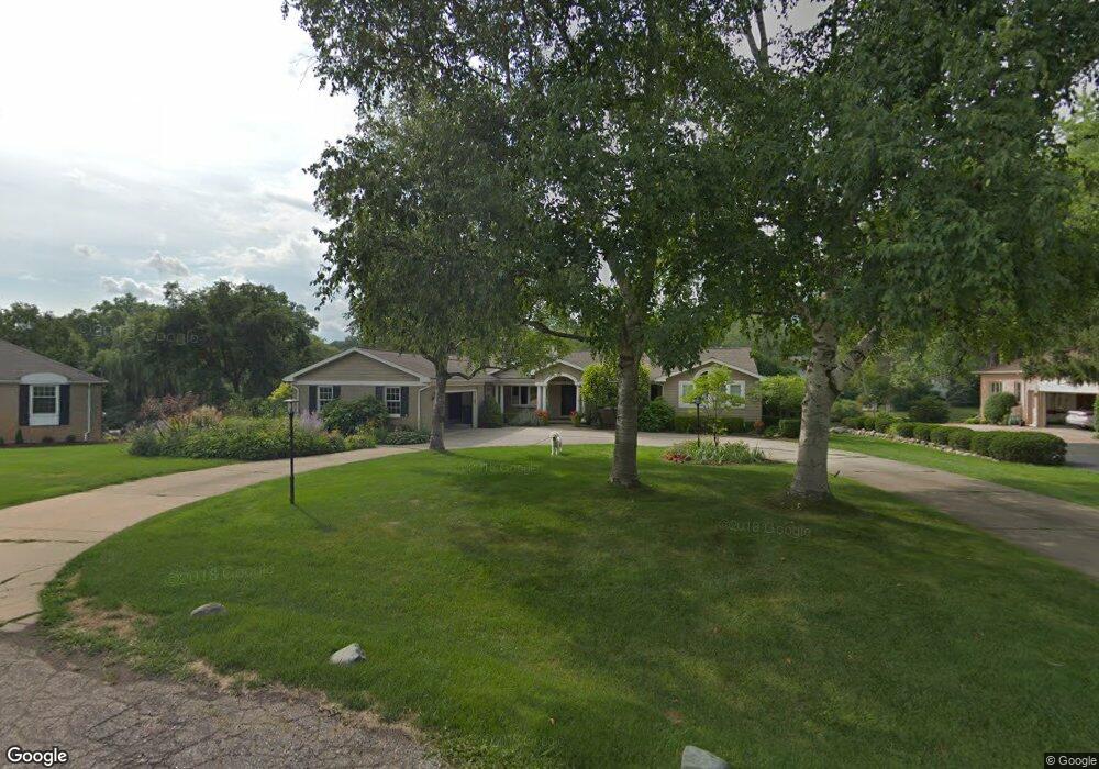
2078 W Bend Ct Bloomfield Hills, MI 48302
Estimated Value: $822,514 - $951,000
5
Beds
5
Baths
3,244
Sq Ft
$280/Sq Ft
Est. Value
About This Home
This home is located at 2078 W Bend Ct, Bloomfield Hills, MI 48302 and is currently estimated at $909,629, approximately $280 per square foot. 2078 W Bend Ct is a home located in Oakland County with nearby schools including West Hills Middle School, Bloomfield Hills High School, and Brookfield Academy - West Bloomfield Campus.
Ownership History
Date
Name
Owned For
Owner Type
Purchase Details
Closed on
Aug 14, 2009
Sold by
Doran David A and Doran Maureen
Bought by
Debono David J and Debono Pamela M
Current Estimated Value
Create a Home Valuation Report for This Property
The Home Valuation Report is an in-depth analysis detailing your home's value as well as a comparison with similar homes in the area
Home Values in the Area
Average Home Value in this Area
Purchase History
| Date | Buyer | Sale Price | Title Company |
|---|---|---|---|
| Debono David J | $550,000 | Multiple |
Source: Public Records
Tax History Compared to Growth
Tax History
| Year | Tax Paid | Tax Assessment Tax Assessment Total Assessment is a certain percentage of the fair market value that is determined by local assessors to be the total taxable value of land and additions on the property. | Land | Improvement |
|---|---|---|---|---|
| 2024 | $5,310 | $371,650 | $0 | $0 |
| 2022 | $5,138 | $320,630 | $72,600 | $248,030 |
| 2021 | $9,476 | $298,370 | $0 | $0 |
| 2020 | $4,700 | $291,430 | $72,600 | $218,830 |
| 2018 | $8,907 | $300,680 | $66,000 | $234,680 |
| 2015 | -- | $252,990 | $0 | $0 |
| 2014 | -- | $236,460 | $0 | $0 |
| 2011 | -- | $221,120 | $0 | $0 |
Source: Public Records
Map
Nearby Homes
- 2276 Shore Hill Dr
- 1887 Harvest Ln
- 3668 Bayou Dr
- 1853 W Bend Dr
- 3468 Pine Estates Dr
- 2954 Long Ridge Ct
- 2045 Bordeaux St Unit 5
- 2300 Pine Lake Rd
- 2372 Pine Lake Rd
- 2121 Uplong St
- 4170 Prescott Park Cir
- 4174 Prescott Park Cir
- 1735 Heron Ridge Dr
- 1744 Heron Ridge Dr
- 1795 Golf Ridge Dr Unit 19
- 1831 Long Pointe Dr
- 1723 Heron Ridge Dr
- 4033 Fox Lake Dr
- 1772 Heron Ridge Dr
- 2665 Middlebelt Rd
- 2058 W Bend Ct
- 2090 W Bend Ct
- 2026 W Bend Ct
- 2089 Westbend Ct
- 2089 W Bend Ct
- 2288 Shore Hill Dr
- 2055 W Bend Ct
- 2282 Shore Hill Dr Unit Bldg-Unit
- 2282 Shore Hill Dr
- 2064 Shore Hill Ct
- 2077 W Bend Ct
- 2025 W Bend Ct
- 2000 W Bend Ct
- 2294 Shore Hill Dr
- 2070 Shore Hill Ct
- 2035 Bayou Dr
- 2058 Shore Hill Ct
- 2011 Bayou Dr
- 1965 W Bend Ct
- 2285 Shore Hill Dr