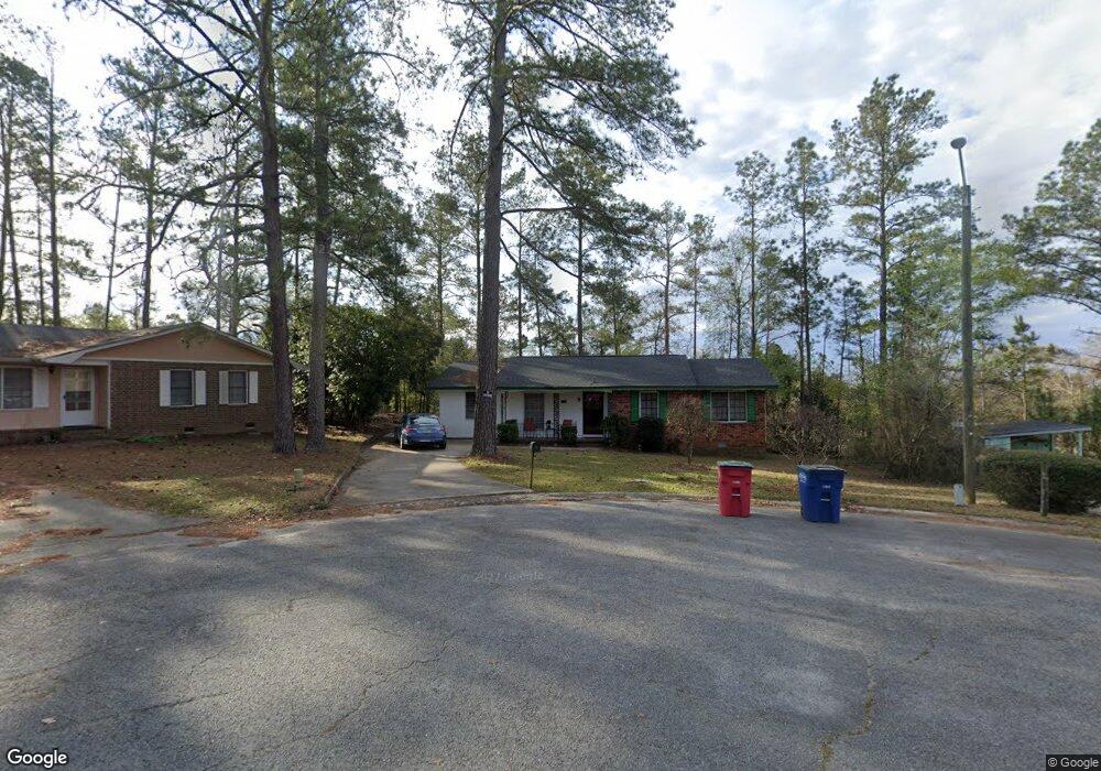
2079 Apache Ct Macon, GA 31217
Estimated Value: $89,000 - $146,000
3
Beds
2
Baths
1,268
Sq Ft
$89/Sq Ft
Est. Value
About This Home
This home is located at 2079 Apache Ct, Macon, GA 31217 and is currently estimated at $112,801, approximately $88 per square foot. 2079 Apache Ct is a home located in Bibb County with nearby schools including Martin Luther King Jr. Elementary School, Appling Middle School, and Northeast High School.
Ownership History
Date
Name
Owned For
Owner Type
Purchase Details
Closed on
Jun 29, 2018
Sold by
Sims Janice C
Bought by
Sims Stephanie C and Sims Janice C
Current Estimated Value
Purchase Details
Closed on
Mar 13, 2013
Sold by
Cummings Johnnie A
Bought by
Sims Janice Cummings
Purchase Details
Closed on
Feb 21, 2013
Sold by
Pauldo Kathy Cummings and Taylor Katy C
Bought by
Sims Janice Cummings
Purchase Details
Closed on
Feb 4, 2013
Sold by
Miller Ethelena Cummings and Willis Ethelena C
Bought by
Sims Janice Cummings
Purchase Details
Closed on
Jan 18, 1979
Sold by
Sandifer Tyrone
Bought by
Poole Catherine C Heirs Of
Create a Home Valuation Report for This Property
The Home Valuation Report is an in-depth analysis detailing your home's value as well as a comparison with similar homes in the area
Purchase History
| Date | Buyer | Sale Price | Title Company |
|---|---|---|---|
| Sims Stephanie C | -- | None Available | |
| Sims Janice Cummings | -- | None Available | |
| Sims Janice Cummings | -- | None Available | |
| Sims Janice Cummings | -- | None Available | |
| Poole Catherine C Heirs Of | $23,800 | -- |
Source: Public Records
Tax History
| Year | Tax Paid | Tax Assessment Tax Assessment Total Assessment is a certain percentage of the fair market value that is determined by local assessors to be the total taxable value of land and additions on the property. | Land | Improvement |
|---|---|---|---|---|
| 2025 | $799 | $32,511 | $1,840 | $30,671 |
| 2024 | $826 | $32,511 | $1,840 | $30,671 |
| 2023 | $768 | $30,239 | $1,840 | $28,399 |
| 2022 | $897 | $25,907 | $3,247 | $22,660 |
| 2021 | $691 | $18,181 | $1,461 | $16,720 |
| 2020 | $655 | $16,861 | $1,461 | $15,400 |
| 2019 | $402 | $10,261 | $1,461 | $8,800 |
| 2018 | $795 | $10,261 | $1,461 | $8,800 |
| 2017 | $384 | $10,261 | $1,461 | $8,800 |
| 2016 | $355 | $10,261 | $1,461 | $8,800 |
| 2015 | $610 | $12,461 | $1,461 | $11,000 |
| 2014 | $1,105 | $19,617 | $3,117 | $16,500 |
Source: Public Records
Map
Nearby Homes
- 2035 Fairway Dr
- 1669 Griswoldville Rd
- 299 E Virginia Ln
- 3147 Wedgewood Dr
- 0 Shady Road Plaza
- 157 Country World Dr
- 166 Country World Dr
- 3020 Millersfield Rd
- 3020 Millerfield Rd
- 3009 Millerfield Rd
- 168 Ruby Dr
- 132 Spradley Dr
- 2954 Tyler Place
- 149 Tanner Terrace
- 2750 Lakeshore Dr
- 3576 Confederate Dr
- 2720 Jordan Ave
- 2740 Millerfield Rd
- 3614 Kingsview Dr
- 0 Champion Dr Unit 10666714
- 2080 Apache Ct
- 2067 Apache Ct
- 3410 Warpath Rd
- 3418 Warpath Rd
- 2064 Manson Rd
- 3426 Warpath Rd
- 2062 Manson Rd
- 2078 Apache Ct
- 3436 Warpath Rd
- 2055 Apache Ct
- 2066 Apache Ct
- 2076 Manson Rd
- 3458 Warpath Rd
- 2054 Manson Rd
- 3429 Shawnee Ln
- 3464 Warpath Rd
- 3443 Shawnee Ln
- 3457 Shawnee Ln
- 3417 Warpath Rd
- 2038 Cherokee Ct
Your Personal Tour Guide
Ask me questions while you tour the home.