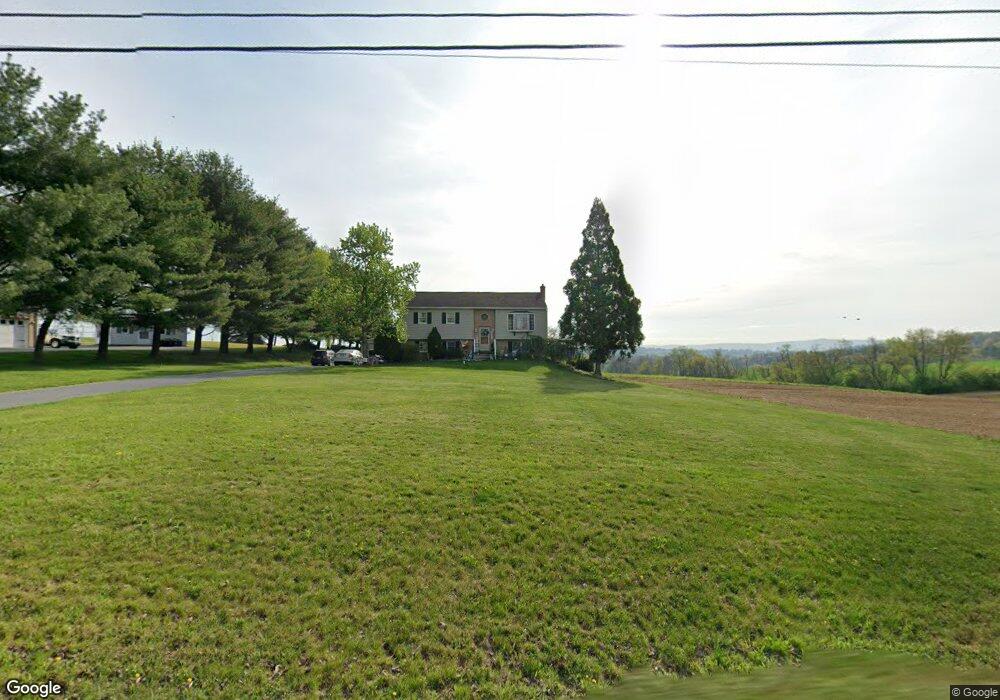
2079 Centerport Rd Mohrsville, PA 19541
Centerport NeighborhoodEstimated Value: $302,924 - $352,000
3
Beds
2
Baths
1,422
Sq Ft
$229/Sq Ft
Est. Value
About This Home
This home is located at 2079 Centerport Rd, Mohrsville, PA 19541 and is currently estimated at $325,231, approximately $228 per square foot. 2079 Centerport Rd is a home located in Berks County with nearby schools including Schuylkill Valley Elementary School, Schuylkill Valley Middle School, and Schuylkill Valley High School.
Ownership History
Date
Name
Owned For
Owner Type
Purchase Details
Closed on
May 16, 2006
Sold by
Brossman Sarah and Ritchie Sarah
Bought by
Ritchie Sarah and Ritchie Gleason E
Current Estimated Value
Create a Home Valuation Report for This Property
The Home Valuation Report is an in-depth analysis detailing your home's value as well as a comparison with similar homes in the area
Home Values in the Area
Average Home Value in this Area
Purchase History
| Date | Buyer | Sale Price | Title Company |
|---|---|---|---|
| Ritchie Sarah | -- | None Available |
Source: Public Records
Tax History Compared to Growth
Tax History
| Year | Tax Paid | Tax Assessment Tax Assessment Total Assessment is a certain percentage of the fair market value that is determined by local assessors to be the total taxable value of land and additions on the property. | Land | Improvement |
|---|---|---|---|---|
| 2025 | $1,006 | $105,300 | $29,100 | $76,200 |
| 2024 | $3,865 | $105,300 | $29,100 | $76,200 |
| 2023 | $3,793 | $105,300 | $29,100 | $76,200 |
| 2022 | $3,774 | $105,300 | $29,100 | $76,200 |
| 2021 | $3,774 | $105,300 | $29,100 | $76,200 |
| 2020 | $3,774 | $105,300 | $29,100 | $76,200 |
| 2019 | $3,712 | $105,300 | $29,100 | $76,200 |
| 2018 | $3,695 | $105,300 | $29,100 | $76,200 |
| 2017 | $3,665 | $105,300 | $29,100 | $76,200 |
| 2016 | $798 | $105,300 | $29,100 | $76,200 |
| 2015 | $798 | $105,300 | $29,100 | $76,200 |
| 2014 | $798 | $105,300 | $29,100 | $76,200 |
Source: Public Records
Map
Nearby Homes
- 86 Tower Rd
- 350 Grove Rd
- 631 Tower Rd
- 0 Woodland Dr
- 690 Main St
- 482 Data Rd
- 393 Main St
- 1915 Main St
- 1919 Main St
- 875 Mohrsville Rd
- 302 Main St
- 304 Ida Red Dr
- 405 Indian Manor Dr
- 188 Ida Red Dr
- 192 Ida Red Dr Unit (LOT149)
- 186 Ida Red Dr
- 168 Ida Red Dr Unit (LOT 160)
- 190 Ida Red Dr Unit (LOT 150)
- 170 Ida Red Dr Unit (LOT 159)
- 184 Ida Red Dr Unit (LOT 153)
- 2051 Centerport Rd
- 2031 Centerport Rd
- 2013 Centerport Rd
- 2076 Centerport Rd
- 2046 Centerport Rd
- 2112 Centerport Rd
- 1989 Centerport Rd
- 2148 Centerport Rd
- 2010 Centerport Rd
- 1969 Centerport Rd
- 100 Faith Dr
- 751 Grove Rd
- 47 Tower Rd
- 34 Tower Rd
- 1935 Centerport Rd
- 140 Faith Dr
- 71 Faith Dr
- 95 Faith Dr
- 162 Faith Dr
- 2198 Centerport Rd