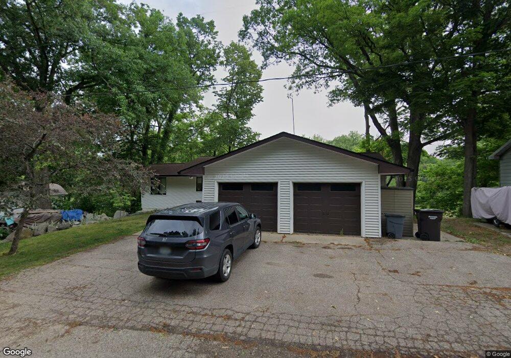
2079 Forrest Dr Allegan, MI 49010
Estimated Value: $313,000 - $423,000
4
Beds
2
Baths
1,328
Sq Ft
$286/Sq Ft
Est. Value
About This Home
This home is located at 2079 Forrest Dr, Allegan, MI 49010 and is currently estimated at $379,572, approximately $285 per square foot. 2079 Forrest Dr is a home located in Allegan County with nearby schools including North Ward Elementary School, L.E. White Middle School, and Allegan High School.
Ownership History
Date
Name
Owned For
Owner Type
Purchase Details
Closed on
Jan 30, 2018
Sold by
Carns Bruce Roger and Carns Ruth Ann
Bought by
Warner Drew and Warner Morgann
Current Estimated Value
Home Financials for this Owner
Home Financials are based on the most recent Mortgage that was taken out on this home.
Original Mortgage
$169,750
Outstanding Balance
$143,582
Interest Rate
3.94%
Mortgage Type
New Conventional
Estimated Equity
$235,990
Purchase Details
Closed on
Oct 14, 2013
Sold by
Carns Bruce and Carns Ruth Ann
Bought by
The Bruce Roger Carns & Ruth Ann Carns F
Create a Home Valuation Report for This Property
The Home Valuation Report is an in-depth analysis detailing your home's value as well as a comparison with similar homes in the area
Home Values in the Area
Average Home Value in this Area
Purchase History
| Date | Buyer | Sale Price | Title Company |
|---|---|---|---|
| Warner Drew | $175,000 | Title Resource Agency | |
| The Bruce Roger Carns & Ruth Ann Carns F | -- | None Available |
Source: Public Records
Mortgage History
| Date | Status | Borrower | Loan Amount |
|---|---|---|---|
| Open | Warner Drew | $169,750 |
Source: Public Records
Tax History Compared to Growth
Tax History
| Year | Tax Paid | Tax Assessment Tax Assessment Total Assessment is a certain percentage of the fair market value that is determined by local assessors to be the total taxable value of land and additions on the property. | Land | Improvement |
|---|---|---|---|---|
| 2025 | $4,399 | $182,400 | $109,800 | $72,600 |
| 2024 | $4,017 | $175,000 | $105,200 | $69,800 |
| 2023 | $4,017 | $145,200 | $86,800 | $58,400 |
| 2022 | $4,017 | $119,200 | $72,300 | $46,900 |
| 2021 | $3,743 | $109,400 | $65,700 | $43,700 |
| 2020 | $3,743 | $114,400 | $72,300 | $42,100 |
| 2019 | $0 | $114,300 | $73,300 | $41,000 |
| 2018 | $0 | $116,500 | $75,600 | $40,900 |
| 2017 | $0 | $113,700 | $72,300 | $41,400 |
| 2016 | $0 | $94,400 | $52,600 | $41,800 |
| 2015 | -- | $94,400 | $52,600 | $41,800 |
| 2014 | -- | $96,500 | $57,500 | $39,000 |
| 2013 | -- | $81,900 | $47,000 | $34,900 |
Source: Public Records
Map
Nearby Homes
- 2079 Forrest Dr Unit Drive
- 2085 Forrest Dr
- 2071 Forrest Dr
- 2593 Park Dr
- 2087 Forrest Dr
- 2064 Forrest Dr
- 2065 Forrest Dr
- 2079 Lake Dr
- 2091 Forrest Dr
- 2067 Lake Dr
- 2061 Forrest Dr
- 1729 Lake Dr
- 2021 Lake Dr
- 2047 Forrest Dr
- 2086 26th St
- 2093 Forrest Dr
- 2078 Lake Dr
- 2042 Forrest Dr
- 2043 Forrest Dr
- 2080 Lake Dr