2079 Southpointe Trail Brunswick, OH 44212
Estimated Value: $411,069 - $498,000
4
Beds
3
Baths
2,524
Sq Ft
$182/Sq Ft
Est. Value
About This Home
This home is located at 2079 Southpointe Trail, Brunswick, OH 44212 and is currently estimated at $459,517, approximately $182 per square foot. 2079 Southpointe Trail is a home located in Medina County with nearby schools including Huntington Elementary School, Willets Middle School, and Brunswick High School.
Ownership History
Date
Name
Owned For
Owner Type
Purchase Details
Closed on
Sep 6, 2000
Sold by
Nvr Inc
Bought by
Kalamasz Michael J and Kalamasz Tracy L
Current Estimated Value
Home Financials for this Owner
Home Financials are based on the most recent Mortgage that was taken out on this home.
Original Mortgage
$179,541
Outstanding Balance
$65,668
Interest Rate
8.15%
Estimated Equity
$393,849
Purchase Details
Closed on
Mar 28, 2000
Sold by
Meadows Of South Pointe Ltd
Bought by
Nvr Inc
Create a Home Valuation Report for This Property
The Home Valuation Report is an in-depth analysis detailing your home's value as well as a comparison with similar homes in the area
Home Values in the Area
Average Home Value in this Area
Purchase History
| Date | Buyer | Sale Price | Title Company |
|---|---|---|---|
| Kalamasz Michael J | $211,500 | Nvr Title Agency Llc | |
| Nvr Inc | $43,000 | Nvr Title Agency Llc |
Source: Public Records
Mortgage History
| Date | Status | Borrower | Loan Amount |
|---|---|---|---|
| Open | Kalamasz Michael J | $179,541 |
Source: Public Records
Tax History Compared to Growth
Tax History
| Year | Tax Paid | Tax Assessment Tax Assessment Total Assessment is a certain percentage of the fair market value that is determined by local assessors to be the total taxable value of land and additions on the property. | Land | Improvement |
|---|---|---|---|---|
| 2024 | $6,194 | $108,690 | $23,840 | $84,850 |
| 2023 | $6,194 | $108,690 | $23,840 | $84,850 |
| 2022 | $5,886 | $108,690 | $23,840 | $84,850 |
| 2021 | $5,116 | $82,970 | $18,200 | $64,770 |
| 2020 | $4,652 | $82,970 | $18,200 | $64,770 |
| 2019 | $4,653 | $82,970 | $18,200 | $64,770 |
| 2018 | $4,462 | $76,520 | $17,210 | $59,310 |
| 2017 | $4,468 | $76,520 | $17,210 | $59,310 |
| 2016 | $4,465 | $76,520 | $17,210 | $59,310 |
| 2015 | $4,199 | $72,190 | $16,240 | $55,950 |
| 2014 | $4,190 | $72,190 | $16,240 | $55,950 |
| 2013 | $4,197 | $72,190 | $16,240 | $55,950 |
Source: Public Records
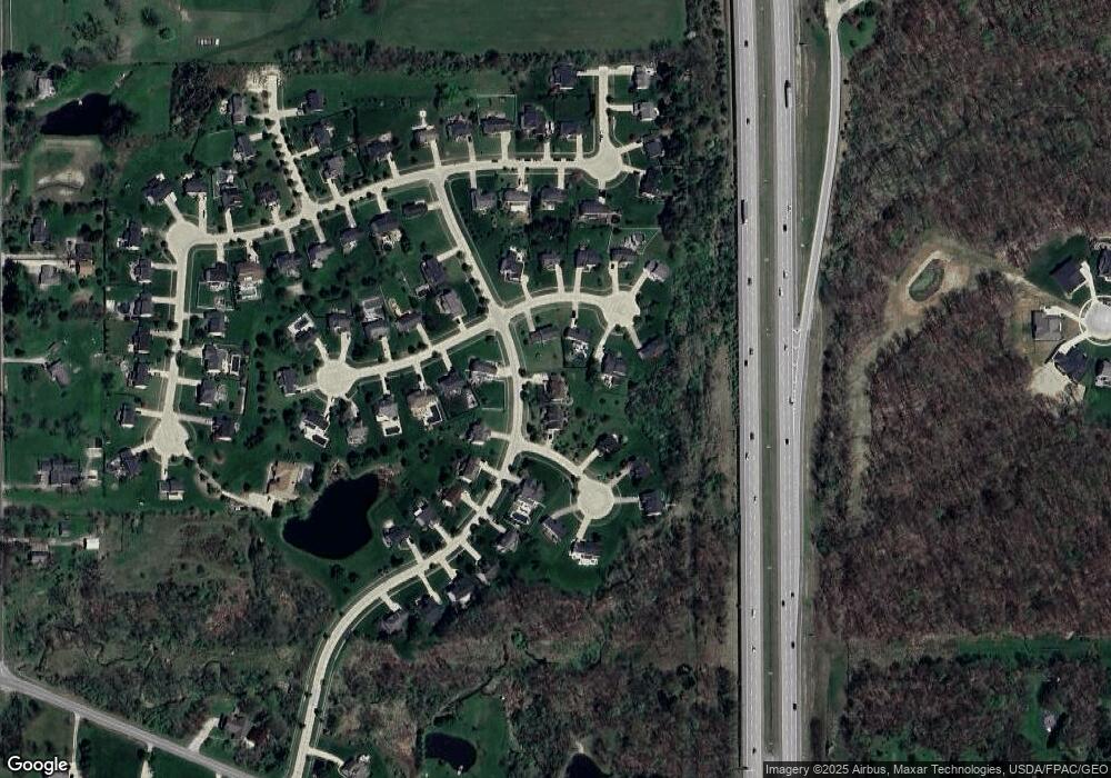
Map
Nearby Homes
- 2883 Galway Dr
- 2865 Galway Dr
- 3121 Blossom Trail Dr
- 3117 Blossom Trail Dr
- BEDFORD Plan at Prairie Vista
- CRESTWOOD Plan at Prairie Vista
- VIOLA Plan at Prairie Vista
- CHAMP Plan at Prairie Vista
- ASH LAWN Plan at Prairie Vista
- SEBASTIAN Plan at Prairie Vista
- BRENNAN Plan at Prairie Vista
- LYNDHURST Plan at Prairie Vista
- 2644 Prairie Ln
- 2633 Prairie Ln
- 2600 Prairie Ln
- 1758 El Dorado Blvd
- 3532 Villa Casa Ct
- 3538 Monte Vista Dr
- 1689 Devonshire Dr
- 3818 Sleepy Hollow Rd
- 2087 Southpointe Trail
- 3058 Fairmount Ct
- 3050 Fairmount Ct
- 3040 Fairmount Ct
- 2072 Southpointe Trail
- 3057 Edmund Ct
- 2092 Southpointe Trail
- 3034 Fairmount Ct
- 3086 Trentwood Ct
- 2115 Southpointe Trail
- 3063 Edmund Ct
- 2106 Southpointe Trail
- 3031 Fairmount Ct
- 3065 Fairmount Ct
- 3057 Fairmount Ct
- 3049 Fairmount Ct
- 3060 Edmund Ct
- 3085 Trentwood Ct
- 3096 Trentwood Ct
- 3039 Fairmount Ct