20790 Stroble Rd Glenmont, OH 44628
Estimated Value: $185,602 - $449,000
4
Beds
1
Bath
1,792
Sq Ft
$169/Sq Ft
Est. Value
About This Home
This home is located at 20790 Stroble Rd, Glenmont, OH 44628 and is currently estimated at $302,867, approximately $169 per square foot. 20790 Stroble Rd is a home located in Knox County with nearby schools including Danville Elementary School, Danville Middle School, and Danville High School.
Ownership History
Date
Name
Owned For
Owner Type
Purchase Details
Closed on
Mar 19, 2004
Sold by
Larson Allen Dale and Larson Barba
Bought by
Hothem Hugh
Current Estimated Value
Purchase Details
Closed on
Mar 30, 1995
Sold by
Thermal Technol
Bought by
Larson Allen Dale and Larson Barba
Purchase Details
Closed on
May 26, 1993
Sold by
Fox Susan Katherine
Bought by
Biotics and Thermal Technol
Purchase Details
Closed on
Jul 2, 1992
Bought by
Fox Susan Katherine
Purchase Details
Closed on
Dec 2, 1988
Sold by
Hothem Luther C
Bought by
Rosedale Foliage And Supp
Create a Home Valuation Report for This Property
The Home Valuation Report is an in-depth analysis detailing your home's value as well as a comparison with similar homes in the area
Purchase History
| Date | Buyer | Sale Price | Title Company |
|---|---|---|---|
| Hothem Hugh | $39,800 | -- | |
| Larson Allen Dale | $50,000 | -- | |
| Biotics | -- | -- | |
| Fox Susan Katherine | $25,000 | -- | |
| Rosedale Foliage And Supp | $25,000 | -- |
Source: Public Records
Tax History Compared to Growth
Tax History
| Year | Tax Paid | Tax Assessment Tax Assessment Total Assessment is a certain percentage of the fair market value that is determined by local assessors to be the total taxable value of land and additions on the property. | Land | Improvement |
|---|---|---|---|---|
| 2024 | $1,514 | $42,740 | $17,120 | $25,620 |
| 2023 | $1,437 | $42,740 | $17,120 | $25,620 |
| 2022 | $1,202 | $29,480 | $11,810 | $17,670 |
| 2021 | $1,145 | $29,480 | $11,810 | $17,670 |
| 2020 | $1,077 | $29,480 | $11,810 | $17,670 |
| 2019 | $1,074 | $27,670 | $11,310 | $16,360 |
| 2018 | $1,081 | $27,670 | $11,310 | $16,360 |
| 2017 | $1,056 | $27,670 | $11,310 | $16,360 |
| 2016 | $908 | $24,060 | $9,840 | $14,220 |
| 2015 | $909 | $24,060 | $9,840 | $14,220 |
| 2014 | $941 | $24,810 | $9,840 | $14,970 |
| 2013 | $932 | $23,460 | $9,240 | $14,220 |
Source: Public Records
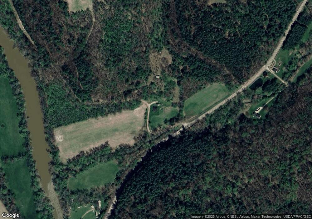
Map
Nearby Homes
- 0 Township Road 16
- 3317 Township Road 539
- 15193 U S 62
- 15193 US Highway 62
- 3303 Township Road 629
- 15977 Mohaven Rd
- 6620 Township Road 451
- 1917 Township Road 26
- 0 State Route 520
- 15757 Hunter Rd
- 13636 Township Road 471
- 2818 Township Road 29
- 202 Plum St
- 4453 County Road 51
- 228 E Walnut St
- 102 Cedar St
- 106 W Rambo St
- 32015 Township Road 368
- 12580 State Route 39
- 34383 Township Road 351
- 0 Nashville Rd Unit 221031606
- 30600 Township Road 350
- 20643 State Route 514
- 20846 State Route 514
- 20846 Ohio 514
- 20351 State Route 514
- 20321 State Route 514
- 20321 Nashville Rd
- 20352 State Route 514
- 20570 Township Road 359
- 20344 Nashville Rd
- 20344 State Route 514
- 20336 State Route 514
- 20528 State Route 514
- 20301 State Route 514
- 20281 State Route 514
- 20343 South St
- 20314 State Route 514
- 20290 State Route 514
- 20372 Cross St