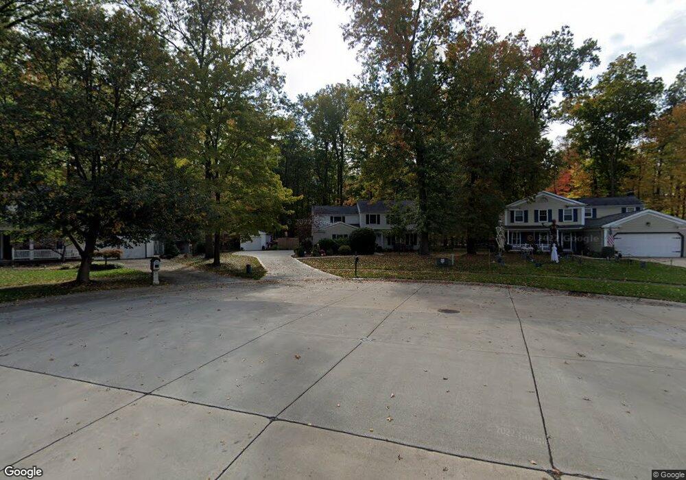
20795 Oak Trail Ct Strongsville, OH 44149
Estimated Value: $351,091 - $385,000
4
Beds
3
Baths
2,148
Sq Ft
$172/Sq Ft
Est. Value
About This Home
This home is located at 20795 Oak Trail Ct, Strongsville, OH 44149 and is currently estimated at $370,523, approximately $172 per square foot. 20795 Oak Trail Ct is a home located in Cuyahoga County with nearby schools including Strongsville High School, St Mary School, and Sts Joseph & John Interparochial School.
Ownership History
Date
Name
Owned For
Owner Type
Purchase Details
Closed on
Mar 21, 2022
Sold by
Fagan Timothy R and Fagan Theresa J
Bought by
Fagan Family Trust
Current Estimated Value
Purchase Details
Closed on
May 26, 1998
Sold by
Blackham Charlene D
Bought by
Fagan Timothy R and Fagan Theresa J
Home Financials for this Owner
Home Financials are based on the most recent Mortgage that was taken out on this home.
Original Mortgage
$128,350
Interest Rate
7.27%
Purchase Details
Closed on
Mar 25, 1998
Sold by
Blackham William T
Bought by
Blackham Charlene D
Purchase Details
Closed on
Jan 1, 1982
Bought by
Blackham Charlene D
Create a Home Valuation Report for This Property
The Home Valuation Report is an in-depth analysis detailing your home's value as well as a comparison with similar homes in the area
Home Values in the Area
Average Home Value in this Area
Purchase History
| Date | Buyer | Sale Price | Title Company |
|---|---|---|---|
| Fagan Family Trust | -- | Cooper Adel Vu Associates | |
| Fagan Timothy R | $151,000 | Rockwell Title Agency Inc | |
| Blackham Charlene D | -- | Rockwell Title Agency Inc | |
| Blackham Charlene D | -- | -- |
Source: Public Records
Mortgage History
| Date | Status | Borrower | Loan Amount |
|---|---|---|---|
| Previous Owner | Fagan Timothy R | $128,350 |
Source: Public Records
Tax History Compared to Growth
Tax History
| Year | Tax Paid | Tax Assessment Tax Assessment Total Assessment is a certain percentage of the fair market value that is determined by local assessors to be the total taxable value of land and additions on the property. | Land | Improvement |
|---|---|---|---|---|
| 2024 | $5,526 | $117,705 | $14,420 | $103,285 |
| 2023 | $5,483 | $87,570 | $11,620 | $75,950 |
| 2022 | $5,443 | $87,570 | $11,620 | $75,950 |
| 2021 | $5,400 | $87,570 | $11,620 | $75,950 |
| 2020 | $5,004 | $71,790 | $9,520 | $62,270 |
| 2019 | $4,858 | $205,100 | $27,200 | $177,900 |
| 2018 | $4,476 | $71,790 | $9,520 | $62,270 |
| 2017 | $4,628 | $69,760 | $11,340 | $58,420 |
| 2016 | $4,590 | $69,760 | $11,340 | $58,420 |
| 2015 | $4,520 | $69,760 | $11,340 | $58,420 |
| 2014 | $4,520 | $67,730 | $11,030 | $56,700 |
Source: Public Records
Map
Nearby Homes
- 9401 Pheasant Run Place
- 20424 Scotch Pine Way
- 21176 Hickory Branch Trail
- 21355 Hickory Branch Trail
- 10839 Prospect Rd
- 20684 Albion Rd
- 10353 Oak Branch Trail
- 8627 Courtland Dr
- 20050 Idlewood Trail
- 19890 Idlewood Trail
- 9829 Plum Brook Ln
- 0 Priem Rd
- 19997 Idlewood Trail
- 22300 Rock Creek Cir
- 21359 Briar Bush Ln
- 8902 Lincolnshire Blvd
- 10986 Fawn Meadow Ln
- 84 Sprague Rd
- 9598 Pebble Brook Ln
- 11179 Fawn Meadow Ln
- 20821 Oak Trail Ct
- 20771 Oak Trail Ct
- 20839 Oak Trail Ct
- 9576 Fair Rd
- 20853 Oak Trail Ct
- 20782 Oak Trail Ct
- 20796 Oak Trail Ct
- 20822 Oak Trail Ct
- 20877 Oak Trail Ct
- 20844 Oak Trail Ct
- 72 Fairtree Dr
- 20854 Oak Trail Ct
- 9753 Prospect Rd
- 20883 Oak Trail Ct
- 20878 Oak Trail Ct
- 9890 Fairtree Dr
- 9894 Fairtree Dr
- 9412 Fair Rd
- 9805 Prospect Rd
- 20884 Oak Trail Ct