208 Adams Mill Rd Mauldin, SC 29662
Estimated Value: $223,000 - $293,805
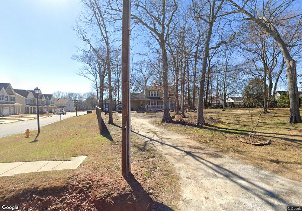
About This Home
This home is located at 208 Adams Mill Rd, Mauldin, SC 29662 and is currently estimated at $261,701, approximately $163 per square foot. 208 Adams Mill Rd is a home located in Greenville County with nearby schools including Greenbrier Elementary School, Hillcrest Middle School, and Mauldin High School.
Ownership History
We collect this data history from publicly available records. To have your information removed, we recommend requesting removal directly through your county’s website.
Purchase Details
Purchase Details
Home Financials for this Owner
Home Financials are based on the most recent Mortgage that was taken out on this home.Purchase Details
Home Financials for this Owner
Home Financials are based on the most recent Mortgage that was taken out on this home.Home Values in the Area
Average Home Value in this Area
Purchase History
We collect this data history from publicly available records. To have your information removed, we recommend requesting removal directly through your county’s website.
| Date | Buyer | Sale Price | Title Company |
|---|---|---|---|
| -- | -- | ||
| $86,000 | -- | ||
| -- | -- |
Mortgage History
We collect this data history from publicly available records. To have your information removed, we recommend requesting removal directly through your county’s website.
| Date | Status | Borrower | Loan Amount |
|---|---|---|---|
| Closed | $65,000 |
Tax History
We collect this data history from publicly available records. To have your information removed, we recommend requesting removal directly through your county’s website.
| Year | Tax Paid | Tax Assessment Tax Assessment Total Assessment is a certain percentage of the fair market value that is determined by local assessors to be the total taxable value of land and additions on the property. | Land | Improvement |
|---|---|---|---|---|
| 2025 | $921 | $6,610 | $2,410 | $4,200 |
| 2024 | $921 | $5,750 | $960 | $4,790 |
| 2023 | $880 | $5,750 | $960 | $4,790 |
| 2022 | $849 | $5,750 | $960 | $4,790 |
| 2021 | $849 | $5,750 | $960 | $4,790 |
| 2020 | $863 | $5,470 | $960 | $4,510 |
| 2019 | $831 | $5,470 | $960 | $4,510 |
| 2018 | $860 | $5,470 | $960 | $4,510 |
| 2017 | $863 | $5,470 | $960 | $4,510 |
| 2016 | $817 | $136,750 | $24,000 | $112,750 |
| 2015 | $819 | $136,750 | $24,000 | $112,750 |
| 2014 | $721 | $120,542 | $20,107 | $100,435 |
Map
- 306 Nantallah Trail
- 103 Ridan Rd
- 27 Whitts Forge Ln
- 464 Bishop Dr
- 456 Bishop Dr
- 101 Laport Dr
- 122 Whitestone Ave
- 3 Old Hastings Ct
- 120 Carlton Dr
- 105 Poplar Springs Dr
- 26 Sikes Cir
- 712 Brooks Rd
- 311 Whatley Rd
- 106 Lindseybrook Trail
- 15 Sea Oats Inlet
- 615 Marwood Ct
- 10 Croftstone Ct
- 403 Bel Arbor Ln
- 9 Colombard Ct
- 427 Circle Dr
- 301 Nantallah Trail
- 303 Nantallah Trail
- 305 Nantallah Trail
- 19 Marengo Rd
- 211 Nantallah Trail
- 307 Nantallah Trail
- 17 Marengo Rd
- 309 Nantallah Trail
- 15 Marengo Rd
- 2 Hyde Park Ln
- 311 Nantallah Trail
- 209 Nantallah Trail
- 313 Nantallah Trail
- 11 Marengo Rd
- 304 Nantallah Trail
- 9 Marengo Rd
- 315 Nantallah Trail
- 4 Hyde Park Ln
- 208 Nantallah Trail
- 308 Nantallah Trail
Ask me questions while you tour the home.