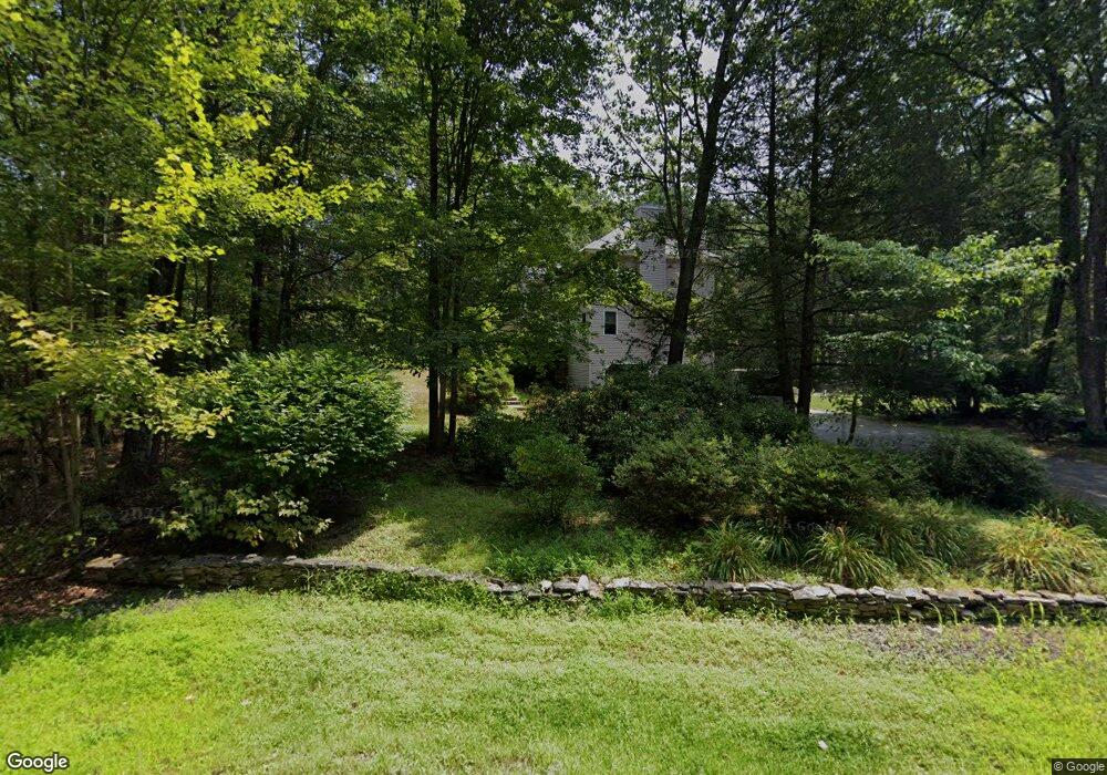
208 Amherst Rd MerriMacK, NH 03054
Estimated Value: $794,000 - $851,000
About This Home
This home is located at 208 Amherst Rd, MerriMacK, NH 03054 and is currently estimated at $814,602, approximately $227 per square foot. 208 Amherst Rd is a home located in Hillsborough County with nearby schools including Thorntons Ferry School, Merrimack Middle School, and James Mastricola Upper Elementary School.
Ownership History
We collect this data history from publicly available records. To have your information removed, we recommend requesting removal directly through your county’s website.
Purchase Details
Home Financials for this Owner
Home Financials are based on the most recent Mortgage that was taken out on this home.Home Values in the Area
Average Home Value in this Area
Purchase History
We collect this data history from publicly available records. To have your information removed, we recommend requesting removal directly through your county’s website.
| Date | Buyer | Sale Price | Title Company |
|---|---|---|---|
| $260,000 | -- |
Mortgage History
We collect this data history from publicly available records. To have your information removed, we recommend requesting removal directly through your county’s website.
| Date | Status | Borrower | Loan Amount |
|---|---|---|---|
| Open | $208,000 |
Tax History
We collect this data history from publicly available records. To have your information removed, we recommend requesting removal directly through your county’s website.
| Year | Tax Paid | Tax Assessment Tax Assessment Total Assessment is a certain percentage of the fair market value that is determined by local assessors to be the total taxable value of land and additions on the property. | Land | Improvement |
|---|---|---|---|---|
| 2025 | $11,265 | $509,500 | $196,900 | $312,600 |
| 2024 | $10,542 | $509,500 | $196,900 | $312,600 |
| 2023 | $9,910 | $509,500 | $196,900 | $312,600 |
| 2022 | $8,855 | $509,500 | $196,900 | $312,600 |
| 2021 | $8,528 | $496,700 | $196,900 | $299,800 |
| 2020 | $9,203 | $382,500 | $146,600 | $235,900 |
| 2019 | $9,662 | $400,400 | $146,600 | $253,800 |
| 2018 | $9,658 | $400,400 | $146,600 | $253,800 |
| 2017 | $9,357 | $400,400 | $146,600 | $253,800 |
| 2016 | $9,125 | $400,400 | $146,600 | $253,800 |
| 2015 | $9,314 | $376,800 | $136,600 | $240,200 |
| 2014 | $9,077 | $376,800 | $136,600 | $240,200 |
| 2013 | $9,009 | $376,800 | $136,600 | $240,200 |
Map
- 9 Windy Hollow Cir
- 1 County Rd
- 105 Seaverns Bridge Rd
- 101A Seaverns Bridge Rd
- 6 Maryann Ln
- 3 Taconic Dr
- 8 Queens Way
- 4 S Grater Rd
- 2 Barrington Way
- 6 Haines Terrace
- 1 Danbury Cir
- 38 Cricket Corner Rd Unit Lot 4 - The Hannah
- 2 Cummings Rd
- 8 Naticook Rd
- 22 Erik St
- 19 Deerwood Dr Unit B
- 22 Deerwood Dr
- 40 Cricket Corner Rd Unit Lot 4 - The Hannah
- 1 Whitetail Way
- 103 Jay Rd
Ask me questions while you tour the home.