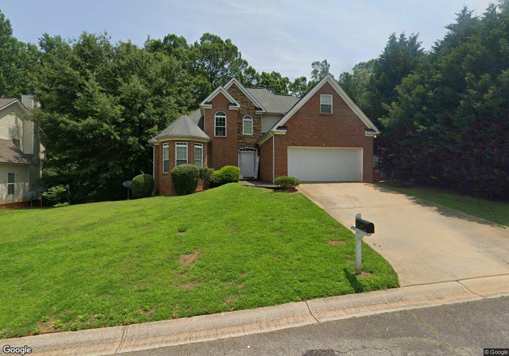
208 Baylor Ct Macon, GA 31220
Estimated Value: $245,000 - $287,000
4
Beds
3
Baths
1,939
Sq Ft
$140/Sq Ft
Est. Value
About This Home
This home is located at 208 Baylor Ct, Macon, GA 31220 and is currently estimated at $270,535, approximately $139 per square foot. 208 Baylor Ct is a home located in Bibb County with nearby schools including Heritage Elementary School, Weaver Middle School, and Westside High School.
Ownership History
Date
Name
Owned For
Owner Type
Purchase Details
Closed on
Jan 8, 2009
Sold by
Herin Ralph
Bought by
Smith Ken
Current Estimated Value
Purchase Details
Closed on
Oct 7, 2008
Sold by
Leslie Timothy Jr By Atty
Bought by
Herin Ralph
Purchase Details
Closed on
Oct 23, 2006
Sold by
Elijah Enterprises Development Group Inc
Bought by
Leslie Timothy
Home Financials for this Owner
Home Financials are based on the most recent Mortgage that was taken out on this home.
Original Mortgage
$180,000
Interest Rate
7.45%
Mortgage Type
Balloon
Purchase Details
Closed on
Dec 16, 2003
Create a Home Valuation Report for This Property
The Home Valuation Report is an in-depth analysis detailing your home's value as well as a comparison with similar homes in the area
Purchase History
| Date | Buyer | Sale Price | Title Company |
|---|---|---|---|
| Smith Ken | $120,270 | None Available | |
| Herin Ralph | $104,700 | -- | |
| Herin Ralph | $104,670 | None Available | |
| Leslie Timothy | $225,000 | None Available | |
| Leslie Timothy | $225,000 | None Available | |
| -- | $620,000 | -- |
Source: Public Records
Mortgage History
| Date | Status | Borrower | Loan Amount |
|---|---|---|---|
| Previous Owner | Leslie Timothy | $180,000 |
Source: Public Records
Tax History
| Year | Tax Paid | Tax Assessment Tax Assessment Total Assessment is a certain percentage of the fair market value that is determined by local assessors to be the total taxable value of land and additions on the property. | Land | Improvement |
|---|---|---|---|---|
| 2025 | $2,816 | $114,580 | $12,000 | $102,580 |
| 2024 | $2,801 | $110,305 | $12,000 | $98,305 |
| 2023 | $2,636 | $88,983 | $3,500 | $85,483 |
| 2022 | $2,102 | $71,417 | $3,300 | $68,117 |
| 2021 | $2,166 | $57,005 | $3,300 | $53,705 |
| 2020 | $2,213 | $57,005 | $3,300 | $53,705 |
| 2019 | $1,992 | $59,831 | $3,300 | $56,531 |
| 2018 | $3,586 | $56,818 | $3,000 | $53,818 |
| 2017 | $1,905 | $50,848 | $2,550 | $48,298 |
| 2016 | $1,689 | $48,808 | $510 | $48,298 |
| 2015 | $2,390 | $48,808 | $510 | $48,298 |
| 2014 | $2,180 | $52,288 | $540 | $51,748 |
Source: Public Records
Map
Nearby Homes
- 155 Northridge Dr
- 241 Northridge Dr
- 1132 Waluhiyi Trail
- 157 Greentree Pkwy
- 298 Northridge Dr
- 278 Northridge Dr
- 109 Greentree Pkwy
- 900 S Plantation Pkwy
- 948 S Plantation Pkwy
- 903 Stephen Foster Ln
- 1294 Santa fe Trail
- 1396 King Arthur Dr
- 1422 Trails End Dr
- 2037 Greentree Pkwy
- 1369 King Arthur Dr
- 1137 N Plantation Pkwy
- 6591 Thomaston Rd
- 1220 N Plantation Pkwy
- 1154 N Plantation Pkwy
- 202 Lochwolde Dr
Your Personal Tour Guide
Ask me questions while you tour the home.