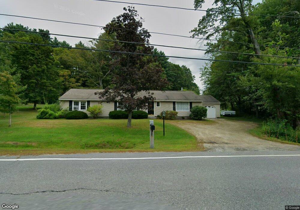
208 Boston Post Rd Amherst, NH 03031
Estimated Value: $469,000 - $512,000
2
Beds
1
Bath
1,536
Sq Ft
$318/Sq Ft
Est. Value
About This Home
This home is located at 208 Boston Post Rd, Amherst, NH 03031 and is currently estimated at $488,852, approximately $318 per square foot. 208 Boston Post Rd is a home with nearby schools including Wilkins Elementary School, Amherst Middle School, and Souhegan Cooperative High School.
Ownership History
Date
Name
Owned For
Owner Type
Purchase Details
Closed on
Jul 1, 2020
Sold by
Sandra D Barton Ret
Bought by
Barton David S and Barton Deborah J
Current Estimated Value
Home Financials for this Owner
Home Financials are based on the most recent Mortgage that was taken out on this home.
Original Mortgage
$200,000
Outstanding Balance
$175,710
Interest Rate
3.2%
Mortgage Type
Purchase Money Mortgage
Estimated Equity
$313,142
Purchase Details
Closed on
Dec 18, 2015
Sold by
Barton Sandra D
Bought by
Sandra D Barton Ret and Barton Sandra D
Create a Home Valuation Report for This Property
The Home Valuation Report is an in-depth analysis detailing your home's value as well as a comparison with similar homes in the area
Home Values in the Area
Average Home Value in this Area
Purchase History
We collect this data history from publicly available records. To have your information removed, we recommend requesting removal directly through your county’s website.
| Date | Buyer | Sale Price | Title Company |
|---|---|---|---|
| Barton David S | $250,000 | None Available | |
| Sandra D Barton Ret | -- | -- |
Source: Public Records
Mortgage History
We collect this data history from publicly available records. To have your information removed, we recommend requesting removal directly through your county’s website.
| Date | Status | Borrower | Loan Amount |
|---|---|---|---|
| Open | Barton David S | $200,000 |
Source: Public Records
Tax History
| Year | Tax Paid | Tax Assessment Tax Assessment Total Assessment is a certain percentage of the fair market value that is determined by local assessors to be the total taxable value of land and additions on the property. | Land | Improvement |
|---|---|---|---|---|
| 2025 | $7,405 | $308,800 | $139,000 | $169,800 |
| 2024 | $7,081 | $308,800 | $139,000 | $169,800 |
| 2023 | $6,757 | $308,800 | $139,000 | $169,800 |
| 2022 | $6,525 | $308,800 | $139,000 | $169,800 |
| 2021 | $6,581 | $308,800 | $139,000 | $169,800 |
| 2020 | $6,559 | $230,300 | $111,200 | $119,100 |
| 2019 | $6,209 | $230,300 | $111,200 | $119,100 |
| 2018 | $6,271 | $230,300 | $111,200 | $119,100 |
| 2017 | $5,990 | $230,300 | $111,200 | $119,100 |
| 2016 | $5,781 | $230,300 | $111,200 | $119,100 |
| 2015 | $5,550 | $209,600 | $119,800 | $89,800 |
| 2014 | $5,588 | $209,600 | $119,800 | $89,800 |
| 2013 | $5,544 | $209,600 | $119,800 | $89,800 |
Source: Public Records
Map
Nearby Homes
- 117 Boston Post Rd
- 166 Amherst St
- 2 MacK Hill Rd
- 19 Old Milford Rd
- 19 Mulberry Ln
- 19 Baboosic Lake Rd
- 7 Village Woods Dr
- 5 N Meadow Rd
- 7 Corduroy Rd Unit 10
- 7 Corduroy Rd Unit 24
- 3 Debbie Ln
- 28 Spring Rd
- 2A Renee Dr
- 15 Martingale Rd
- 3 Renee Dr
- 1 Renee Dr
- 9 Tarleton Ln
- 0 Claude Rd
- 5 Old Manchester Rd
- 32 Dearborn St
- 206 Boston Post Rd
- 204 Boston Post Rd
- 151 Amherst St
- 31 Middle St
- 149 Amherst St
- 29 Middle St
- 33 Middle St
- 35 Courthouse Rd
- 150 Amherst St
- 27 Middle St
- 201 Boston Post Rd
- 148 Amherst St
- 154 Amherst St
- 169 Boston Post Rd
- 120 Boston Post Rd
- 215 Boston Post Rd
- 1 Thornton Ferry Road I
- 22 Courthouse Rd
- 25 Middle St
- 16 Courthouse Rd
Your Personal Tour Guide
Ask me questions while you tour the home.