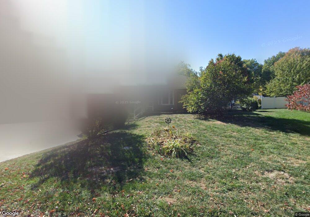
208 Campbell Dr Liberty, MO 64068
Estimated Value: $298,621 - $332,000
3
Beds
3
Baths
1,512
Sq Ft
$206/Sq Ft
Est. Value
About This Home
This home is located at 208 Campbell Dr, Liberty, MO 64068 and is currently estimated at $310,905, approximately $205 per square foot. 208 Campbell Dr is a home located in Clay County with nearby schools including Alexander Doniphan Elementary School, Discovery Middle School, and Liberty High School.
Ownership History
Date
Name
Owned For
Owner Type
Purchase Details
Closed on
Nov 28, 2005
Sold by
Cooney Steven T and Cooney Carol
Bought by
Cooney Steven T and Cooney Carol
Current Estimated Value
Home Financials for this Owner
Home Financials are based on the most recent Mortgage that was taken out on this home.
Original Mortgage
$129,600
Interest Rate
6.06%
Mortgage Type
Stand Alone Refi Refinance Of Original Loan
Purchase Details
Closed on
Mar 26, 1999
Sold by
Security Svgs Bank Fsb
Bought by
Nationsbanc Mtg Corp
Home Financials for this Owner
Home Financials are based on the most recent Mortgage that was taken out on this home.
Original Mortgage
$101,650
Interest Rate
6.69%
Purchase Details
Closed on
Mar 24, 1999
Sold by
Flook Edric E
Bought by
Cooney Steven T
Home Financials for this Owner
Home Financials are based on the most recent Mortgage that was taken out on this home.
Original Mortgage
$101,650
Interest Rate
6.69%
Create a Home Valuation Report for This Property
The Home Valuation Report is an in-depth analysis detailing your home's value as well as a comparison with similar homes in the area
Home Values in the Area
Average Home Value in this Area
Purchase History
| Date | Buyer | Sale Price | Title Company |
|---|---|---|---|
| Cooney Steven T | -- | Nations Title Agency Inc | |
| Nationsbanc Mtg Corp | -- | -- | |
| Cooney Steven T | -- | United Title Company |
Source: Public Records
Mortgage History
| Date | Status | Borrower | Loan Amount |
|---|---|---|---|
| Closed | Cooney Steven T | $129,600 | |
| Previous Owner | Cooney Steven T | $101,650 |
Source: Public Records
Tax History Compared to Growth
Tax History
| Year | Tax Paid | Tax Assessment Tax Assessment Total Assessment is a certain percentage of the fair market value that is determined by local assessors to be the total taxable value of land and additions on the property. | Land | Improvement |
|---|---|---|---|---|
| 2025 | $2,640 | $41,020 | -- | -- |
| 2024 | $2,640 | $35,760 | -- | -- |
| 2023 | $2,679 | $35,760 | $0 | $0 |
| 2022 | $2,524 | $33,310 | $0 | $0 |
| 2021 | $2,534 | $33,307 | $6,042 | $27,265 |
| 2020 | $2,633 | $32,660 | $0 | $0 |
| 2019 | $2,635 | $32,660 | $0 | $0 |
| 2018 | $2,143 | $26,090 | $0 | $0 |
| 2017 | $2,120 | $26,090 | $3,420 | $22,670 |
| 2016 | $2,120 | $26,090 | $3,420 | $22,670 |
| 2015 | $2,121 | $26,090 | $3,420 | $22,670 |
| 2014 | $2,270 | $27,870 | $3,420 | $24,450 |
Source: Public Records
Map
Nearby Homes
- 1733 Welleslay Ln
- 1537 Canterbury Ln
- 1507 Amesbury Ave
- 1991 Harvest Rd
- 1841 Vintage Ln
- 1852 Vintage Ln
- 1836 Green Meadow Dr
- 1845 Arbor Trail
- 1856 Arbor Trail
- 1975 Harvest Rd
- 1979 Harvest Rd
- 1971 Harvest Rd
- 1912 Longview Dr
- 1985 Longview Dr
- 1916 Longview Dr
- 1989 Longview Dr
- 1205 Blackberry Dr
- 1323 Amesbury Ave
- 2153 Black Walnut Dr
- 2152 Black Walnut Dr