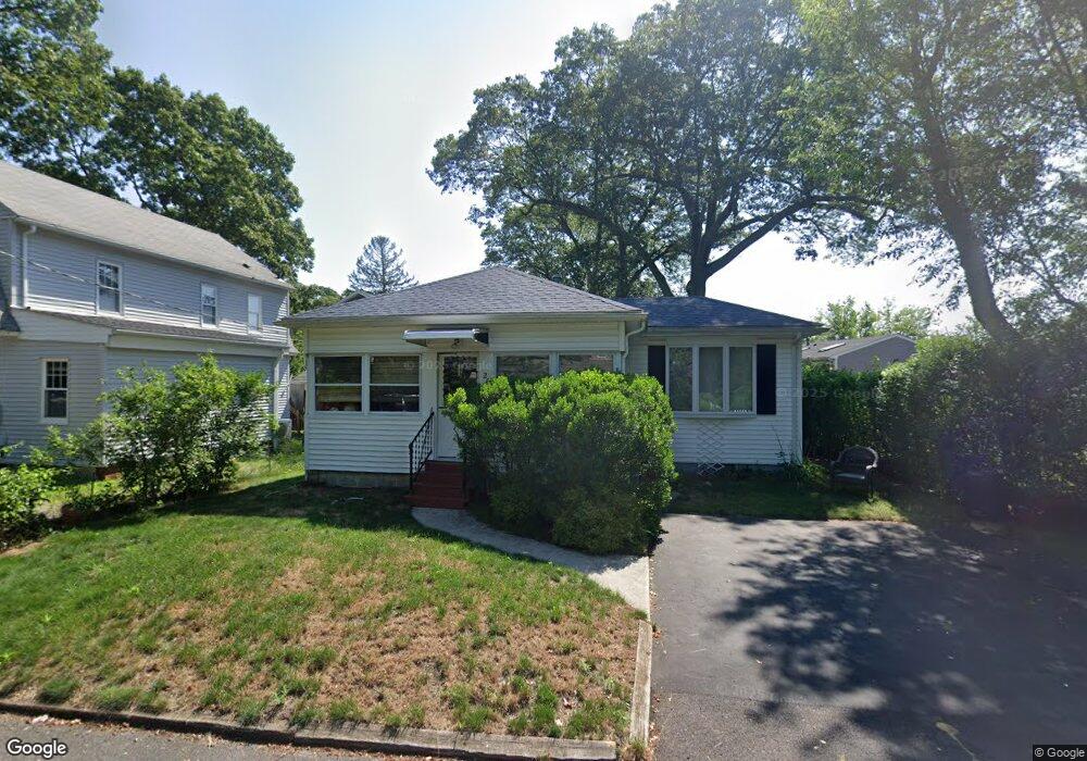
208 Canfield Ave Warwick, RI 02889
Oakland Beach NeighborhoodEstimated Value: $263,000 - $332,000
1
Bed
1
Bath
864
Sq Ft
$351/Sq Ft
Est. Value
About This Home
This home is located at 208 Canfield Ave, Warwick, RI 02889 and is currently estimated at $303,283, approximately $351 per square foot. 208 Canfield Ave is a home located in Kent County with nearby schools including Saint Kevin School, St Rose Of Lima School, and Bishop Hendricken High School.
Ownership History
Date
Name
Owned For
Owner Type
Purchase Details
Closed on
Jul 29, 2008
Sold by
Radtke Gary L
Bought by
Moreau Richard P
Current Estimated Value
Home Financials for this Owner
Home Financials are based on the most recent Mortgage that was taken out on this home.
Original Mortgage
$112,950
Outstanding Balance
$74,205
Interest Rate
6.35%
Mortgage Type
Purchase Money Mortgage
Estimated Equity
$229,078
Create a Home Valuation Report for This Property
The Home Valuation Report is an in-depth analysis detailing your home's value as well as a comparison with similar homes in the area
Home Values in the Area
Average Home Value in this Area
Purchase History
| Date | Buyer | Sale Price | Title Company |
|---|---|---|---|
| Moreau Richard P | $125,500 | -- |
Source: Public Records
Mortgage History
| Date | Status | Borrower | Loan Amount |
|---|---|---|---|
| Open | Moreau Richard P | $112,950 | |
| Closed | Moreau Richard P | $12,550 | |
| Previous Owner | Moreau Richard P | $55,800 |
Source: Public Records
Tax History Compared to Growth
Tax History
| Year | Tax Paid | Tax Assessment Tax Assessment Total Assessment is a certain percentage of the fair market value that is determined by local assessors to be the total taxable value of land and additions on the property. | Land | Improvement |
|---|---|---|---|---|
| 2024 | $3,013 | $208,200 | $76,900 | $131,300 |
| 2023 | $2,954 | $208,200 | $76,900 | $131,300 |
| 2022 | $2,783 | $148,600 | $50,500 | $98,100 |
| 2021 | $2,783 | $148,600 | $50,500 | $98,100 |
| 2020 | $2,783 | $148,600 | $50,500 | $98,100 |
| 2019 | $2,783 | $148,600 | $50,500 | $98,100 |
| 2018 | $2,159 | $103,800 | $44,500 | $59,300 |
| 2017 | $2,101 | $103,800 | $44,500 | $59,300 |
| 2016 | $2,101 | $103,800 | $44,500 | $59,300 |
| 2015 | $1,973 | $95,100 | $46,700 | $48,400 |
| 2014 | $1,908 | $95,100 | $46,700 | $48,400 |
| 2013 | $1,882 | $95,100 | $46,700 | $48,400 |
Source: Public Records
Map
Nearby Homes
- 191 Canfield Ave
- 120 Oakhurst Ave
- 211 Wood St
- 90 Tampa Ave
- 73 Custer St
- 183 Shand Ave
- 80 Northup St
- 0 Sea View Dr
- 100 Kenneth Ave
- 107 Coburn St
- 95 Wilson Ave
- 235 Pequot Ave
- 34 Pequot Ave
- 91 Carnation Dr
- 237 Pequot Ave
- 388 Sea View Dr
- 225 Second Point Rd
- 161 Sunny Cove Dr
- 198 Asylum Rd
- 110 Wethersfield Dr
- 202 Canfield Ave
- 31 Canfield Ct
- 25 Canfield Ct
- 207 Canfield Ave
- 19 Canfield Ct
- 201 Canfield Ave
- 236 Gordon Ave
- 215 Canfield Ave
- 195 Canfield Ave
- 241 Gordon Ave
- 219 Canfield Ave
- 26 Canfield Ct
- 11 Canfield Ct
- 32 Canfield Ct
- 188 Canfield Ave
- 22 Canfield Ct
- 185 Canfield Ave
- 225 Canfield Ave
- 226 Gordon Ave
- 229 Canfield Ave