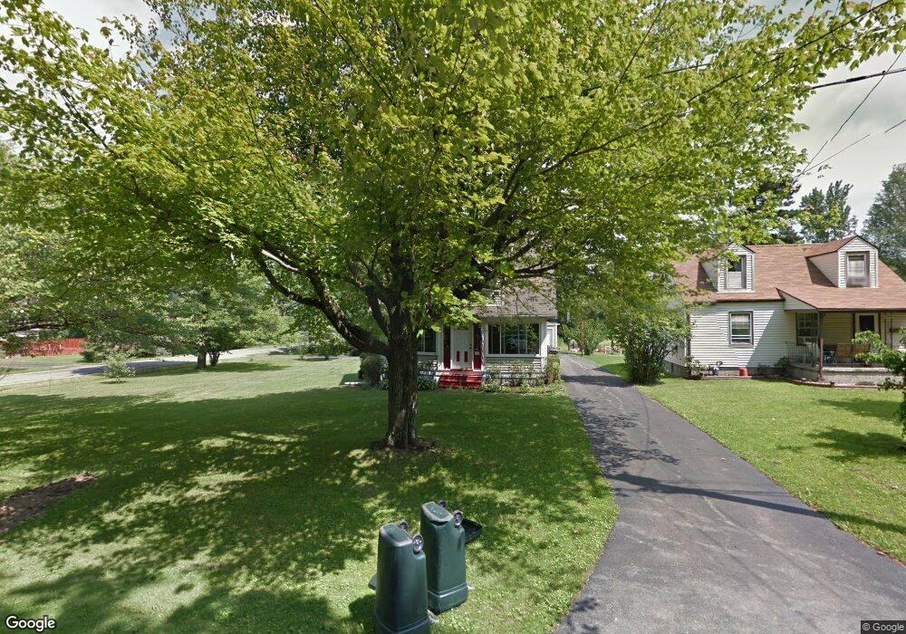
208 Catherine St Youngstown, OH 44505
Estimated Value: $123,000 - $172,000
2
Beds
1
Bath
1,264
Sq Ft
$112/Sq Ft
Est. Value
About This Home
This home is located at 208 Catherine St, Youngstown, OH 44505 and is currently estimated at $141,254, approximately $111 per square foot. 208 Catherine St is a home located in Trumbull County with nearby schools including E.J. Blott Elementary School, William S. Guy Middle School, and Liberty High School.
Ownership History
Date
Name
Owned For
Owner Type
Purchase Details
Closed on
Apr 14, 1997
Sold by
Mckenzie Patrick E and Mckenzie Amy L
Bought by
Laclair Michelle
Current Estimated Value
Home Financials for this Owner
Home Financials are based on the most recent Mortgage that was taken out on this home.
Original Mortgage
$45,900
Outstanding Balance
$5,955
Interest Rate
7.93%
Estimated Equity
$135,299
Purchase Details
Closed on
Apr 25, 1994
Sold by
Grymberg Adam A
Bought by
Patrick E Mckenzie Amy L Mckenzie
Purchase Details
Closed on
Jan 1, 1990
Bought by
Adam A Grymberg
Create a Home Valuation Report for This Property
The Home Valuation Report is an in-depth analysis detailing your home's value as well as a comparison with similar homes in the area
Purchase History
| Date | Buyer | Sale Price | Title Company |
|---|---|---|---|
| Laclair Michelle | $54,000 | -- | |
| Patrick E Mckenzie Amy L Mckenzie | $62,000 | -- | |
| Adam A Grymberg | -- | -- |
Source: Public Records
Mortgage History
| Date | Status | Borrower | Loan Amount |
|---|---|---|---|
| Open | Laclair Michelle | $45,900 |
Source: Public Records
Tax History
| Year | Tax Paid | Tax Assessment Tax Assessment Total Assessment is a certain percentage of the fair market value that is determined by local assessors to be the total taxable value of land and additions on the property. | Land | Improvement |
|---|---|---|---|---|
| 2024 | $1,702 | $28,430 | $6,620 | $21,810 |
| 2023 | $1,484 | $28,430 | $6,620 | $21,810 |
| 2022 | $1,252 | $19,220 | $6,620 | $12,600 |
| 2021 | $1,254 | $19,220 | $6,620 | $12,600 |
| 2020 | $1,547 | $19,220 | $6,620 | $12,600 |
| 2019 | $1,759 | $19,220 | $6,620 | $12,600 |
| 2018 | $1,739 | $19,220 | $6,620 | $12,600 |
| 2017 | $1,604 | $19,220 | $6,620 | $12,600 |
| 2016 | $1,339 | $18,560 | $6,620 | $11,940 |
| 2015 | $1,353 | $18,560 | $6,620 | $11,940 |
| 2014 | $1,335 | $18,560 | $6,620 | $11,940 |
| 2013 | $1,353 | $19,330 | $6,620 | $12,710 |
Source: Public Records
Map
Nearby Homes
- 250 Laurel St
- 500 E Liberty St
- 406 Laurel St
- 515 Murray Hill Dr
- 1600 Motor Inn Dr
- 3470 Hadley Ave
- 0 Saint Andrews Dr Unit 3940756
- 0 Saint Andrews Dr Unit 5061335
- 0 Saint Andrews Dr Unit 5061337
- 193 Euclid Blvd
- 4550 Belmont Ave
- 3025 Northgate Ave
- 50 Redfern Dr
- 790 Mansell Dr
- 900 Mcarthur Dr
- 4591 Churchill Hubbard Rd
- 3012 Northgate Ave
- 4593 Michigan Blvd
- 2504 Cardinal Dr
- 822 Golf Ave
- 216 Catherine St
- 220 Catherine St
- 126 Catherine St
- 222 Catherine St
- 199 E Liberty St
- 207 Catherine St
- 122 124 Catherine St
- 122 Catherine St
- 129 Catherine St
- 229 E Liberty St
- 234 Catherine St
- 119 E Liberty St
- 233 Catherine St
- 118 Catherine St
- 308 Catherine St
- 206 E Liberty St
- 103 E Liberty St
- 208 E Montrose St
- 235 Catherine St
- 134 E Montrose St
Your Personal Tour Guide
Ask me questions while you tour the home.