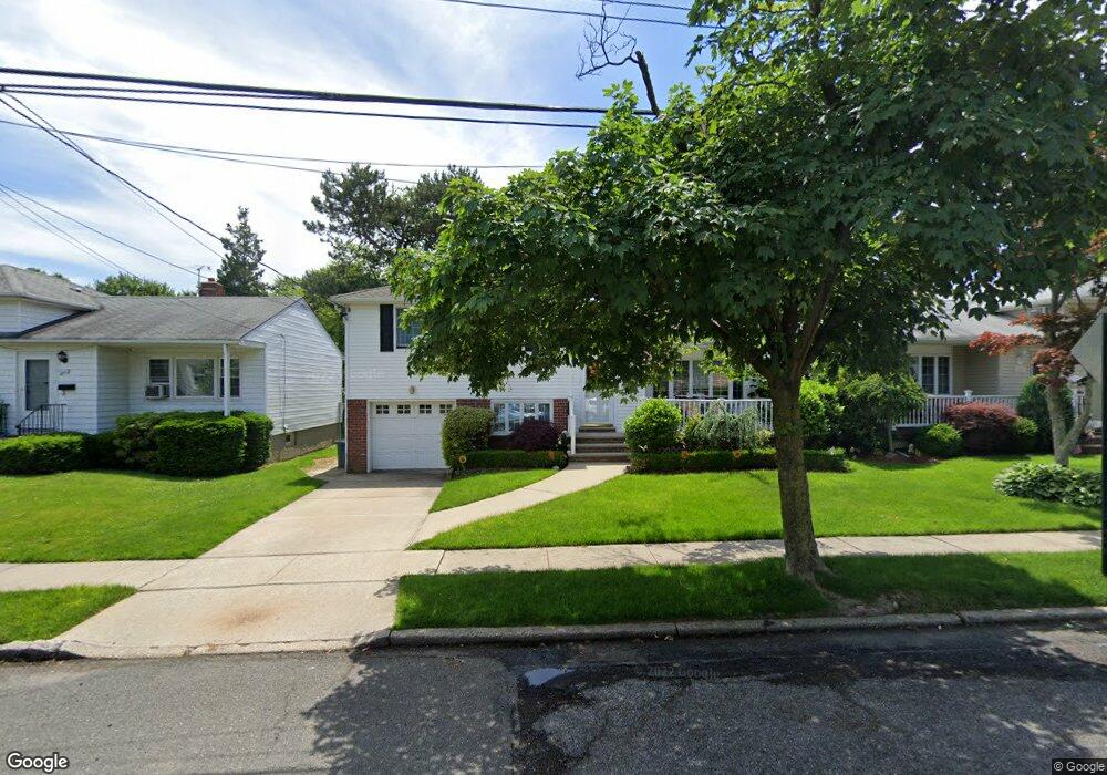
208 Chesterton Ave Staten Island, NY 10306
Oakwood NeighborhoodEstimated Value: $847,000 - $1,090,000
4
Beds
2
Baths
2,150
Sq Ft
$427/Sq Ft
Est. Value
About This Home
This home is located at 208 Chesterton Ave, Staten Island, NY 10306 and is currently estimated at $918,386, approximately $427 per square foot. 208 Chesterton Ave is a home located in Richmond County with nearby schools including P.S. 50 Frank Hankinson School, Myra S. Barnes Intermediate School 24, and New Dorp High School.
Ownership History
Date
Name
Owned For
Owner Type
Purchase Details
Closed on
Oct 22, 2024
Sold by
Lynch Michael L and Lynch Ann Dolores
Bought by
Lynch Lawrence M and Spina Doreen
Current Estimated Value
Purchase Details
Closed on
Dec 22, 2010
Sold by
Farina Roselle Piccolo
Bought by
Lynch Michael L and Lynch Ann Dolores
Create a Home Valuation Report for This Property
The Home Valuation Report is an in-depth analysis detailing your home's value as well as a comparison with similar homes in the area
Home Values in the Area
Average Home Value in this Area
Purchase History
| Date | Buyer | Sale Price | Title Company |
|---|---|---|---|
| Lynch Lawrence M | -- | None Listed On Document | |
| Lynch Michael L | $610,000 | Stewart Title Insurance Co |
Source: Public Records
Tax History Compared to Growth
Tax History
| Year | Tax Paid | Tax Assessment Tax Assessment Total Assessment is a certain percentage of the fair market value that is determined by local assessors to be the total taxable value of land and additions on the property. | Land | Improvement |
|---|---|---|---|---|
| 2025 | $6,581 | $53,880 | $11,710 | $42,170 |
| 2024 | $6,581 | $52,920 | $11,922 | $40,998 |
| 2023 | $6,492 | $43,558 | $11,077 | $32,481 |
| 2022 | $5,713 | $45,300 | $14,160 | $31,140 |
| 2021 | $5,985 | $46,260 | $14,160 | $32,100 |
| 2020 | $5,678 | $39,900 | $14,160 | $25,740 |
| 2019 | $5,611 | $39,720 | $14,160 | $25,560 |
| 2018 | $5,332 | $36,298 | $12,560 | $23,738 |
| 2017 | $6,075 | $34,408 | $12,808 | $21,600 |
| 2016 | $6,522 | $32,624 | $13,139 | $19,485 |
| 2015 | $5,938 | $30,942 | $10,026 | $20,916 |
| 2014 | $5,938 | $30,942 | $11,288 | $19,654 |
Source: Public Records
Map
Nearby Homes
- 276 Fairbanks Ave
- 238 Montreal Ave
- 148 Hopkins Ave
- 55 O'Gorman Ave
- 158 Malone Ave
- 390 Montreal Ave
- 92 Twombly Ave
- 133 Durant Ave
- 2075 N Railroad Ave
- 56 Brook Ave
- 30 Ithaca St
- 1915 N Railroad Ave
- 499 Medina St
- 77 Acorn St
- 516 Medina St
- 122 Guyon Ave
- 26 Benton Ct
- 12 Benton Ct
- 220 O'Gorman Ave
- 100 Savoy St Unit 1, 39, 43, 45, 46
- 204 Chesterton Ave
- 212 Chesterton Ave
- 196 Chesterton Ave
- 205 Currie Ave
- 218 Chesterton Ave
- 209 Currie Ave
- 201 Currie Ave
- 213 Currie Ave
- 197 Currie Ave
- 190 Chesterton Ave
- 217 Currie Ave
- 209 Chesterton Ave
- 222 Chesterton Ave
- 203 Chesterton Ave
- 213 Chesterton Ave
- 197 Chesterton Ave
- 221 Currie Ave
- 189 Currie Ave
- 217 Chesterton Ave
- 186 Chesterton Ave