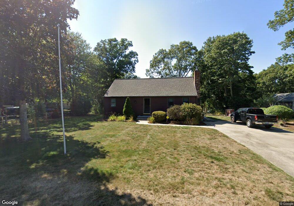
208 Commons Way Brewster, MA 02631
Estimated Value: $588,000 - $723,000
3
Beds
2
Baths
1,414
Sq Ft
$449/Sq Ft
Est. Value
About This Home
This home is located at 208 Commons Way, Brewster, MA 02631 and is currently estimated at $634,433, approximately $448 per square foot. 208 Commons Way is a home located in Barnstable County with nearby schools including Stony Brook Elementary School, Eddy Elementary School, and Nauset Regional Middle School.
Ownership History
Date
Name
Owned For
Owner Type
Purchase Details
Closed on
Oct 27, 1999
Sold by
Kelly James A
Bought by
Menges Howard C and Menges Julie S
Current Estimated Value
Home Financials for this Owner
Home Financials are based on the most recent Mortgage that was taken out on this home.
Original Mortgage
$126,400
Interest Rate
7.78%
Mortgage Type
Purchase Money Mortgage
Create a Home Valuation Report for This Property
The Home Valuation Report is an in-depth analysis detailing your home's value as well as a comparison with similar homes in the area
Home Values in the Area
Average Home Value in this Area
Purchase History
| Date | Buyer | Sale Price | Title Company |
|---|---|---|---|
| Menges Howard C | $158,000 | -- |
Source: Public Records
Mortgage History
| Date | Status | Borrower | Loan Amount |
|---|---|---|---|
| Open | Menges Howard C | $25,000 | |
| Open | Menges Howard C | $160,000 | |
| Closed | Menges Howard C | $36,000 | |
| Closed | Menges Howard C | $126,400 |
Source: Public Records
Tax History
| Year | Tax Paid | Tax Assessment Tax Assessment Total Assessment is a certain percentage of the fair market value that is determined by local assessors to be the total taxable value of land and additions on the property. | Land | Improvement |
|---|---|---|---|---|
| 2025 | $3,326 | $483,400 | $177,300 | $306,100 |
| 2024 | $3,137 | $460,700 | $167,300 | $293,400 |
| 2023 | $2,882 | $412,300 | $149,300 | $263,000 |
| 2022 | $2,977 | $379,200 | $155,500 | $223,700 |
| 2021 | $2,816 | $328,200 | $135,200 | $193,000 |
| 2020 | $2,765 | $320,800 | $135,200 | $185,600 |
| 2019 | $2,653 | $309,200 | $130,000 | $179,200 |
| 2018 | $2,519 | $305,000 | $130,000 | $175,000 |
| 2017 | $2,470 | $294,400 | $130,000 | $164,400 |
| 2016 | $2,392 | $283,800 | $127,500 | $156,300 |
| 2015 | $2,294 | $277,700 | $125,000 | $152,700 |
Source: Public Records
Map
Nearby Homes
- 274 Commons Way
- 296 Commons Way
- 16 Commons Way
- 0 Commons Way Unit 22504099
- 106 Eaton Ln Unit 106E
- 737 Thousand Oaks Dr
- 236 Freemans Way
- 58 Old Chatham Rd
- 337 Jonathans Way
- 235 Old Chatham Rd
- 61 Sheffield Rd
- 0 Old Chatham Rd
- 157 Jonathans Way
- 82 Fletcher Ln Unit H
- 82 Fletcher Ln Unit H
- 100 Fletcher Ln Unit C
- 101 Fletcher Ln Unit L
- 100 Fletcher Ln Unit C
- 101 Fletcher Ln Unit L
- 81 Fletcher Ln Unit C
- 216 Commons Way
- 275 Quasons Path
- 275 Quason's Path
- 226 Commons Way
- 199 Commons Way
- 211 Commons Way
- 191 Commons Way
- 261 Quasons Path
- 223 Commons Way
- 236 Commons Way
- 176 Commons Way
- 179 Commons Way
- 233 Commons Way
- 246 Commons Way
- 164 Commons Way
- 234 Quasons Path
- 171 Commons Way
- 243 Commons Way
- 466 Thousand Oaks Dr
- 261 Quason's Pat
Your Personal Tour Guide
Ask me questions while you tour the home.