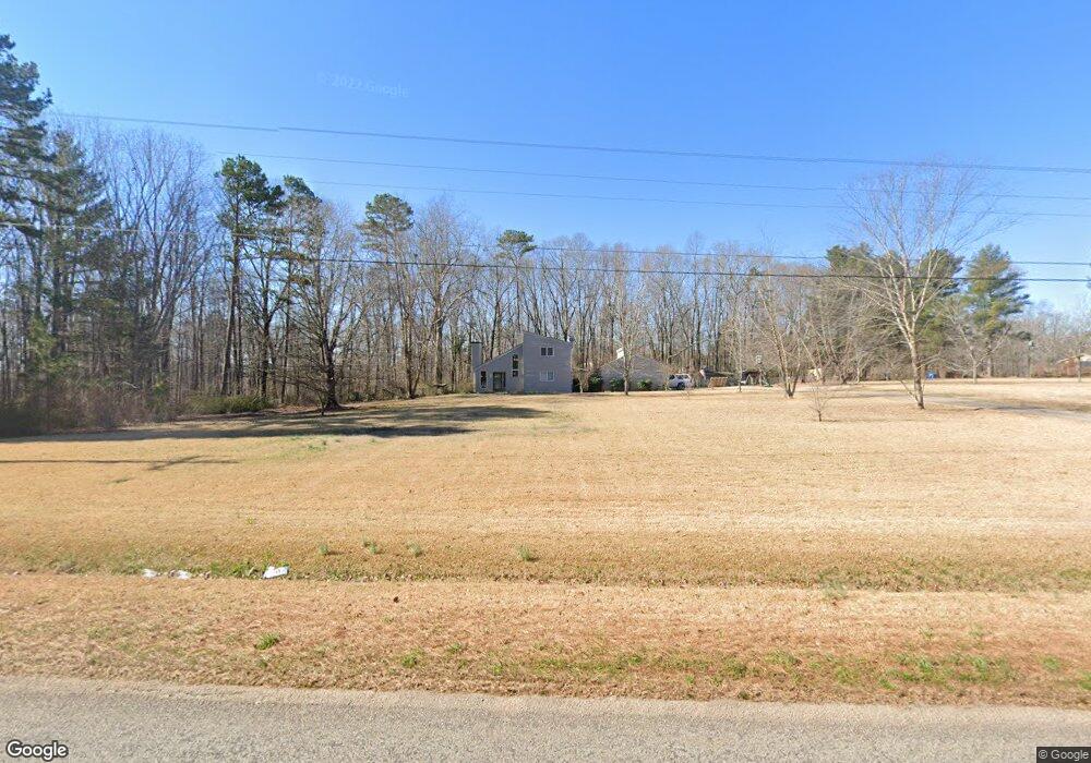
208 Defoor Rd Unit 2-8 Toccoa, GA 30577
Estimated Value: $287,258 - $328,000
3
Beds
2
Baths
1,434
Sq Ft
$214/Sq Ft
Est. Value
About This Home
This home is located at 208 Defoor Rd Unit 2-8, Toccoa, GA 30577 and is currently estimated at $306,565, approximately $213 per square foot. 208 Defoor Rd Unit 2-8 is a home located in Stephens County with nearby schools including Stephens County High School.
Ownership History
Date
Name
Owned For
Owner Type
Purchase Details
Closed on
Mar 4, 2025
Sold by
Thomas Spencer Eric
Bought by
Strong Nancy A and Strong Ronald L
Current Estimated Value
Purchase Details
Closed on
Jul 31, 2020
Sold by
Presley Anthony F
Bought by
Thomas Eric
Home Financials for this Owner
Home Financials are based on the most recent Mortgage that was taken out on this home.
Original Mortgage
$143,200
Interest Rate
3%
Mortgage Type
New Conventional
Purchase Details
Closed on
Nov 1, 1998
Bought by
Presley Anthony F and Presley Donna P
Create a Home Valuation Report for This Property
The Home Valuation Report is an in-depth analysis detailing your home's value as well as a comparison with similar homes in the area
Home Values in the Area
Average Home Value in this Area
Purchase History
| Date | Buyer | Sale Price | Title Company |
|---|---|---|---|
| Strong Nancy A | $309,925 | -- | |
| Thomas Eric | $179,000 | -- | |
| Presley Anthony F | -- | -- |
Source: Public Records
Mortgage History
| Date | Status | Borrower | Loan Amount |
|---|---|---|---|
| Previous Owner | Thomas Eric | $143,200 |
Source: Public Records
Tax History Compared to Growth
Tax History
| Year | Tax Paid | Tax Assessment Tax Assessment Total Assessment is a certain percentage of the fair market value that is determined by local assessors to be the total taxable value of land and additions on the property. | Land | Improvement |
|---|---|---|---|---|
| 2024 | $1,841 | $60,455 | $11,659 | $48,796 |
| 2023 | $1,689 | $56,749 | $11,659 | $45,090 |
| 2022 | $1,603 | $53,863 | $11,659 | $42,204 |
| 2021 | $1,567 | $50,103 | $11,659 | $38,444 |
| 2020 | $181 | $40,625 | $11,659 | $28,966 |
| 2019 | $165 | $40,070 | $11,104 | $28,966 |
| 2018 | $159 | $39,904 | $11,104 | $28,800 |
| 2017 | $163 | $39,904 | $11,104 | $28,800 |
| 2016 | $165 | $39,903 | $11,104 | $28,799 |
| 2015 | $170 | $39,736 | $11,104 | $28,632 |
| 2014 | $70 | $36,504 | $11,104 | $25,400 |
| 2013 | -- | $39,280 | $13,880 | $25,400 |
Source: Public Records
Map
Nearby Homes
- 7 Jottings Dr
- 17 Pinetree Rd
- 672 Crawford Cir
- 56 Crawford Manor Dr
- 1520 Defoor Rd
- 3.35 ACRES Keener Rd
- 5.10 ACRES Hwy 123
- 46 Cedar Ridge Dr
- 513 S Red Rock Rd
- 535 Deer Chase
- 197 Howard Rd
- 290 Indian Dr
- 54 Stonewood Forest Rd
- 919 Deer Chase Rd
- 3048 Oak Valley Rd
- 3089 Georgia 17 Alternate
- 3013 Hwy 17 A
- 232 Oak Way Dr
- 160 Oak Way Dr
- 303 Oak Way Dr
- 172 Defoor Rd
- 233 Defoor Rd
- 0 Defoor Rd Unit 37 & 38 8301522
- 0 Defoor Rd Unit 2678179
- 0 Defoor Rd Unit 7122091
- 0 Defoor Rd Unit CM225481
- 0 Defoor Rd Unit 9078326
- 0 Defoor Rd Unit 8192545
- 0 Defoor Rd Unit 8414495
- 0 Defoor Rd Unit 8832309
- 0 Defoor Rd Unit 8836173
- 0 Defoor Rd Unit 8903656
- 0 Defoor Rd Unit 7038749
- 0 Defoor Rd Unit 8299123
- 0 Defoor Rd Unit 8334324
- 0 Defoor Rd Unit 8595615
- 0 Defoor Rd Unit 8663913
- 1264 Whispering Pines Dr
- 1206 Whispering Pines Dr
- 181 Defoor Rd
