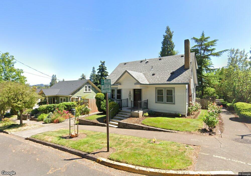
208 E 2nd Ave Eugene, OR 97401
Downtown Eugene NeighborhoodEstimated Value: $554,000 - $679,000
3
Beds
1
Bath
1,433
Sq Ft
$440/Sq Ft
Est. Value
About This Home
This home is located at 208 E 2nd Ave, Eugene, OR 97401 and is currently estimated at $630,302, approximately $439 per square foot. 208 E 2nd Ave is a home located in Lane County with nearby schools including Edison Elementary School, Roosevelt Middle School, and South Eugene High School.
Ownership History
Date
Name
Owned For
Owner Type
Purchase Details
Closed on
Mar 14, 2019
Sold by
Rosko Lori B
Bought by
Rosko Lori B and Rosko Thomas J
Current Estimated Value
Purchase Details
Closed on
Nov 4, 2016
Sold by
Simonitch Brian M
Bought by
Rosko Lori B
Home Financials for this Owner
Home Financials are based on the most recent Mortgage that was taken out on this home.
Original Mortgage
$236,250
Outstanding Balance
$189,010
Interest Rate
3.48%
Mortgage Type
New Conventional
Estimated Equity
$441,292
Create a Home Valuation Report for This Property
The Home Valuation Report is an in-depth analysis detailing your home's value as well as a comparison with similar homes in the area
Home Values in the Area
Average Home Value in this Area
Purchase History
| Date | Buyer | Sale Price | Title Company |
|---|---|---|---|
| Rosko Lori B | -- | None Available | |
| Rosko Lori B | $315,000 | Cascade Title Company |
Source: Public Records
Mortgage History
| Date | Status | Borrower | Loan Amount |
|---|---|---|---|
| Open | Rosko Lori B | $236,250 |
Source: Public Records
Tax History
| Year | Tax Paid | Tax Assessment Tax Assessment Total Assessment is a certain percentage of the fair market value that is determined by local assessors to be the total taxable value of land and additions on the property. | Land | Improvement |
|---|---|---|---|---|
| 2025 | $5,039 | $258,629 | -- | -- |
| 2024 | $4,976 | $251,097 | -- | -- |
| 2023 | $4,976 | $243,784 | $0 | $0 |
| 2022 | $4,662 | $236,684 | $0 | $0 |
| 2021 | $4,379 | $229,791 | $0 | $0 |
| 2020 | $4,394 | $223,099 | $0 | $0 |
| 2019 | $4,244 | $216,601 | $0 | $0 |
| 2018 | $3,995 | $204,168 | $0 | $0 |
| 2017 | $3,816 | $204,168 | $0 | $0 |
| 2016 | $3,288 | $175,161 | $0 | $0 |
| 2015 | $3,194 | $170,059 | $0 | $0 |
| 2014 | $3,130 | $165,106 | $0 | $0 |
Source: Public Records
Map
Nearby Homes
- 147 Shelton McMurphey Blvd
- 0 Unknown Unit 480745727
- 490 W 4th Ave
- 427 Washington St
- 2036 Eastwood Ln
- 974 Lincoln St
- 875 Sand Ave
- 280 W 11th Ave
- 211 Monroe St
- 1034 Lawrence St
- 509 E 13th Ave
- 9 N Monroe St Unit C
- 9 N Monroe St Unit B
- 9 N Monroe St Unit D
- 9 N Monroe St Unit A
- 961 Jefferson St
- 508 E 14th Ave
- 1375 Olive St Unit 503
- 1492 Pearl St
- 1460 Willamette St
Your Personal Tour Guide
Ask me questions while you tour the home.