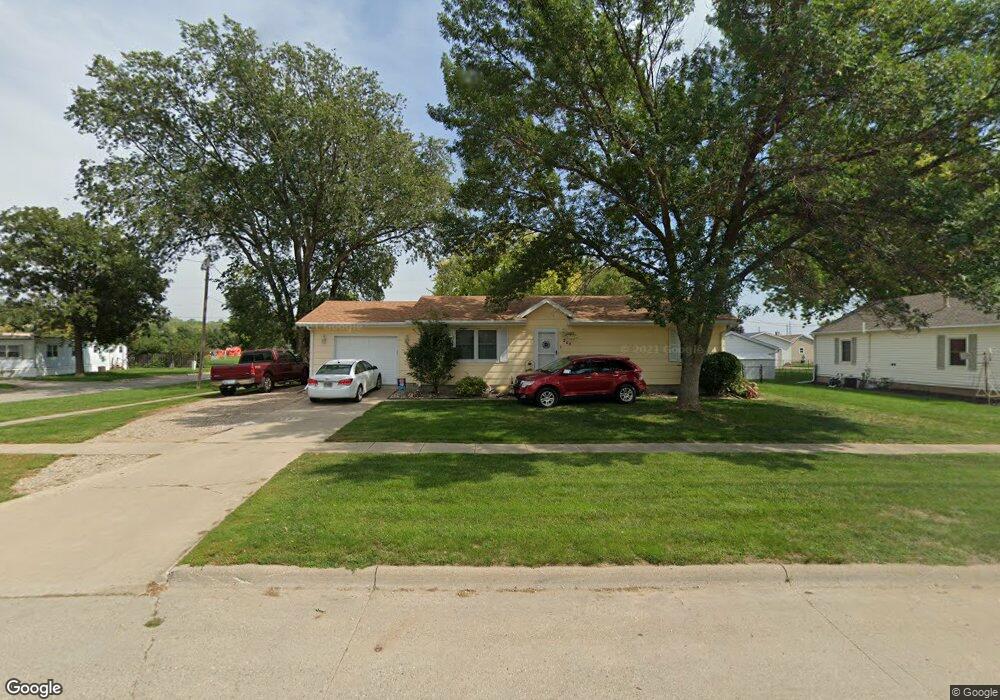
208 E St Sergeant Bluff, IA 51054
Estimated Value: $163,000 - $203,000
3
Beds
1
Bath
1,008
Sq Ft
$183/Sq Ft
Est. Value
About This Home
This home is located at 208 E St, Sergeant Bluff, IA 51054 and is currently estimated at $184,329, approximately $182 per square foot. 208 E St is a home located in Woodbury County with nearby schools including Sergeant Bluff-Luton Primary School, Sergeant Bluff-Luton Elementary School, and Sergeant Bluff-Luton Middle School.
Ownership History
Date
Name
Owned For
Owner Type
Purchase Details
Closed on
Sep 5, 2006
Sold by
Equity One Inc
Bought by
Not Provided
Current Estimated Value
Home Financials for this Owner
Home Financials are based on the most recent Mortgage that was taken out on this home.
Original Mortgage
$79,200
Interest Rate
7.87%
Mortgage Type
Adjustable Rate Mortgage/ARM
Purchase Details
Closed on
Jul 12, 2006
Sold by
Mortgage Electronic Registration Systems
Bought by
Choquette Tony A
Home Financials for this Owner
Home Financials are based on the most recent Mortgage that was taken out on this home.
Original Mortgage
$79,200
Interest Rate
7.87%
Mortgage Type
Adjustable Rate Mortgage/ARM
Create a Home Valuation Report for This Property
The Home Valuation Report is an in-depth analysis detailing your home's value as well as a comparison with similar homes in the area
Home Values in the Area
Average Home Value in this Area
Purchase History
| Date | Buyer | Sale Price | Title Company |
|---|---|---|---|
| Not Provided | -- | -- | |
| Choquette Tony A | $99,000 | -- |
Source: Public Records
Mortgage History
| Date | Status | Borrower | Loan Amount |
|---|---|---|---|
| Previous Owner | Choquette Tony A | $79,200 |
Source: Public Records
Tax History
| Year | Tax Paid | Tax Assessment Tax Assessment Total Assessment is a certain percentage of the fair market value that is determined by local assessors to be the total taxable value of land and additions on the property. | Land | Improvement |
|---|---|---|---|---|
| 2025 | $2,452 | $180,090 | $12,860 | $167,230 |
| 2024 | $24 | $169,200 | $11,480 | $157,720 |
| 2023 | $2,152 | $169,200 | $11,480 | $157,720 |
| 2022 | $2,132 | $131,360 | $11,480 | $119,880 |
| 2021 | $2,132 | $131,360 | $11,480 | $119,880 |
| 2020 | $1,936 | $109,010 | $12,280 | $96,730 |
| 2019 | $1,848 | $109,010 | $12,280 | $96,730 |
| 2018 | $1,802 | $102,560 | $12,280 | $90,280 |
| 2017 | $1,802 | $102,560 | $12,280 | $90,280 |
| 2016 | $1,908 | $98,270 | $0 | $0 |
| 2015 | $1,835 | $91,840 | $11,480 | $80,360 |
| 2014 | $1,731 | $91,840 | $11,480 | $80,360 |
Source: Public Records
Map
Nearby Homes
Your Personal Tour Guide
Ask me questions while you tour the home.