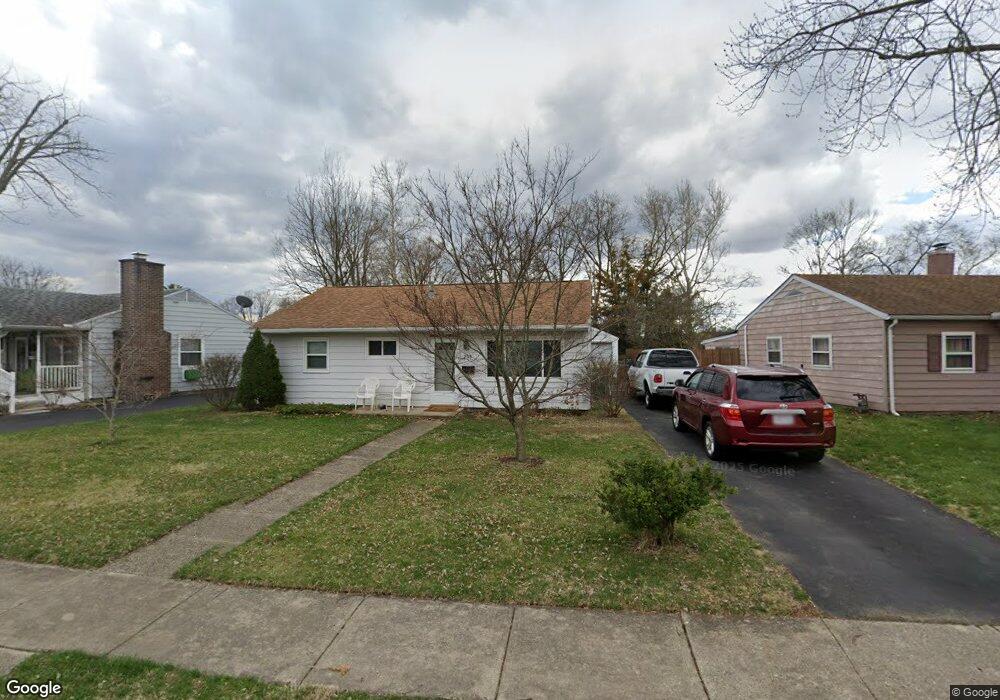
208 Funston Ave New Carlisle, OH 45344
Estimated Value: $132,000 - $152,000
3
Beds
1
Bath
840
Sq Ft
$165/Sq Ft
Est. Value
About This Home
This home is located at 208 Funston Ave, New Carlisle, OH 45344 and is currently estimated at $138,721, approximately $165 per square foot. 208 Funston Ave is a home located in Clark County with nearby schools including New Carlisle Elementary School, Park Layne Elementary School, and Donnelsville Elementary School.
Ownership History
Date
Name
Owned For
Owner Type
Purchase Details
Closed on
Oct 8, 1998
Sold by
Rogers Robin K and Mason Robin K
Bought by
Clifton Larry J
Current Estimated Value
Home Financials for this Owner
Home Financials are based on the most recent Mortgage that was taken out on this home.
Original Mortgage
$59,400
Outstanding Balance
$13,005
Interest Rate
6.9%
Mortgage Type
Purchase Money Mortgage
Estimated Equity
$125,716
Purchase Details
Closed on
Jul 10, 1987
Create a Home Valuation Report for This Property
The Home Valuation Report is an in-depth analysis detailing your home's value as well as a comparison with similar homes in the area
Home Values in the Area
Average Home Value in this Area
Purchase History
| Date | Buyer | Sale Price | Title Company |
|---|---|---|---|
| Clifton Larry J | $29,700 | -- | |
| Clifton Larry J | $29,700 | -- | |
| -- | $29,500 | -- |
Source: Public Records
Mortgage History
| Date | Status | Borrower | Loan Amount |
|---|---|---|---|
| Open | Clifton Larry J | $59,400 |
Source: Public Records
Tax History Compared to Growth
Tax History
| Year | Tax Paid | Tax Assessment Tax Assessment Total Assessment is a certain percentage of the fair market value that is determined by local assessors to be the total taxable value of land and additions on the property. | Land | Improvement |
|---|---|---|---|---|
| 2024 | $935 | $27,240 | $6,990 | $20,250 |
| 2023 | $935 | $27,240 | $6,990 | $20,250 |
| 2022 | $957 | $27,240 | $6,990 | $20,250 |
| 2021 | $840 | $22,990 | $5,370 | $17,620 |
| 2020 | $842 | $22,990 | $5,370 | $17,620 |
| 2019 | $855 | $22,990 | $5,370 | $17,620 |
| 2018 | $502 | $16,320 | $6,640 | $9,680 |
| 2017 | $469 | $19,380 | $6,636 | $12,744 |
| 2016 | $959 | $19,380 | $6,636 | $12,744 |
| 2015 | $1,075 | $18,645 | $6,986 | $11,659 |
| 2014 | $1,065 | $18,645 | $6,986 | $11,659 |
| 2013 | $1,067 | $18,645 | $6,986 | $11,659 |
Source: Public Records
Map
Nearby Homes
- 202 Fenwick Dr
- 906 N Scott St
- 315 N Main St
- 1204 N Scott St
- 211 N Clay St
- 315 Fenwick Dr
- 203 Monroe Way
- 201 Lightfoot Ct
- 519 Brubaker Dr
- 209 Lightfoot Ct
- 216 Lightfoot Ct
- 213 Lightfoot Ct
- 1212 N Scott St
- 1206 N Scott St
- 1205 N Scott St
- 1209 N Scott St
- 1210 N Scott St
- 609 Brubaker Dr
- Spruce Plan at Monroe Meadows
- Norway Plan at Monroe Meadows
- 210 Funston Ave
- 206 Funston Ave
- 212 Funston Ave
- 204 Funston Ave
- 214 Funston Ave
- 525 N Scott St
- 517 Scott Cir
- 523 N Scott St
- 527 N Scott St
- 209 Funston Ave
- 200 Funston Ave
- 211 Funston Ave
- 205 Funston Ave
- 207 Funston Ave
- 521 N Scott St
- 216 Funston Ave
- 515 Scott Cir
- 215 Funston Ave
- 601 N Scott St
- 519 N Scott St