208 Glady Fork Rd Weston, WV 26452
Estimated Value: $295,000 - $667,000
5
Beds
3
Baths
3,585
Sq Ft
$131/Sq Ft
Est. Value
About This Home
This home is located at 208 Glady Fork Rd, Weston, WV 26452 and is currently estimated at $471,123, approximately $131 per square foot. 208 Glady Fork Rd is a home located in Lewis County with nearby schools including Lewis County High School, St Patrick School, and St. Patrick School.
Ownership History
Date
Name
Owned For
Owner Type
Purchase Details
Closed on
Jan 18, 2022
Sold by
Scott Hall Ralph
Bought by
Frye Bradley and Frye Olivia
Current Estimated Value
Home Financials for this Owner
Home Financials are based on the most recent Mortgage that was taken out on this home.
Original Mortgage
$335,000
Outstanding Balance
$308,744
Interest Rate
3.11%
Mortgage Type
New Conventional
Estimated Equity
$162,379
Purchase Details
Closed on
May 13, 2005
Sold by
Hall Ralph Scott and Hall Regina S
Bought by
Hall Ralph Scott and Hall Regina S
Create a Home Valuation Report for This Property
The Home Valuation Report is an in-depth analysis detailing your home's value as well as a comparison with similar homes in the area
Home Values in the Area
Average Home Value in this Area
Purchase History
| Date | Buyer | Sale Price | Title Company |
|---|---|---|---|
| Frye Bradley | $375,000 | Siegrist & White Pllc | |
| Hall Ralph Scott | -- | First American Title Insuran |
Source: Public Records
Mortgage History
| Date | Status | Borrower | Loan Amount |
|---|---|---|---|
| Open | Frye Bradley | $335,000 |
Source: Public Records
Tax History Compared to Growth
Tax History
| Year | Tax Paid | Tax Assessment Tax Assessment Total Assessment is a certain percentage of the fair market value that is determined by local assessors to be the total taxable value of land and additions on the property. | Land | Improvement |
|---|---|---|---|---|
| 2024 | $2,054 | $216,480 | $27,240 | $189,240 |
| 2023 | $1,862 | $200,220 | $25,200 | $175,020 |
| 2022 | $992 | $132,000 | $5,400 | $126,600 |
| 2021 | $975 | $130,140 | $5,400 | $124,740 |
| 2020 | $965 | $128,940 | $5,400 | $123,540 |
| 2019 | $952 | $127,560 | $5,340 | $122,220 |
| 2018 | $934 | $125,460 | $5,280 | $120,180 |
| 2017 | $894 | $122,640 | $5,280 | $117,360 |
| 2016 | $936 | $121,920 | $5,340 | $116,580 |
| 2015 | $883 | $116,100 | $5,100 | $111,000 |
| 2014 | $884 | $116,220 | $5,460 | $110,760 |
Source: Public Records
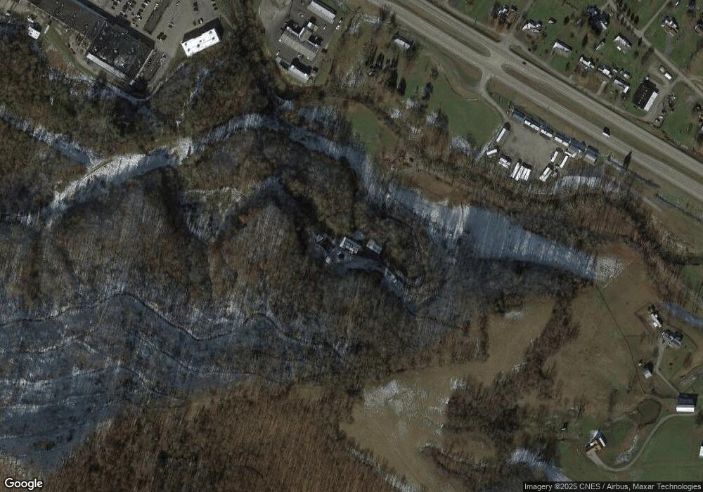
Map
Nearby Homes
- TBD E U Hwy S
- TBD Fern Dr
- 790 Grass Run Rd
- 1999 Glady Fork Rd
- 2038 Glady Fork Rd
- 617 Sauls Run Rd
- 2068 Glady Fork Rd
- 117 Brown Ave
- TBD Garton Plaza
- 650 Locust Ave
- 235 Cottage Ave
- 570 Locust Ave
- 78 Alum Ave
- 650 Lynn Ave
- Lifes Run Rd
- 343 E 1st St
- TBD Lakeview Dr
- 620 Center Ave
- 515 Court Ave
- 339 Court Ave
- 3004 Us Highway 33 E
- 2900 E Us Hwy
- 147 Lunsford St
- 13 Hinzman St
- 138 Lunsford St
- 221 Lunsford St
- 249 Lunsford St
- 277 Lunsford St
- 111 Lunsford St
- 35 Hinzman St
- 110 Lunsford St
- 97 Lunsford St
- 53 Hinzman St
- 92 Lunsford St
- 870 Lunsford St
- 58 Hinzman St
- 986 Old Route 33
- 1016 Old Route 33
- 308 Glady Fork Rd
- 69 Hinzman St