208 Maple Ave Bird In Hand, PA 17505
Estimated Value: $268,000 - $347,000
3
Beds
1
Bath
1,440
Sq Ft
$206/Sq Ft
Est. Value
About This Home
This home is located at 208 Maple Ave, Bird In Hand, PA 17505 and is currently estimated at $297,250, approximately $206 per square foot. 208 Maple Ave is a home located in Lancaster County with nearby schools including Smoketown Elementary School, Gerald G. Huesken Middle School, and Conestoga Valley High School.
Ownership History
Date
Name
Owned For
Owner Type
Purchase Details
Closed on
Jan 29, 2002
Sold by
Beiler Ephraim S and Beiler Fannie Z
Bought by
King Gideon S and King Ruth E
Current Estimated Value
Home Financials for this Owner
Home Financials are based on the most recent Mortgage that was taken out on this home.
Original Mortgage
$75,000
Outstanding Balance
$31,209
Interest Rate
7.15%
Estimated Equity
$266,041
Create a Home Valuation Report for This Property
The Home Valuation Report is an in-depth analysis detailing your home's value as well as a comparison with similar homes in the area
Home Values in the Area
Average Home Value in this Area
Purchase History
| Date | Buyer | Sale Price | Title Company |
|---|---|---|---|
| King Gideon S | $90,000 | -- |
Source: Public Records
Mortgage History
| Date | Status | Borrower | Loan Amount |
|---|---|---|---|
| Open | King Gideon S | $75,000 |
Source: Public Records
Tax History Compared to Growth
Tax History
| Year | Tax Paid | Tax Assessment Tax Assessment Total Assessment is a certain percentage of the fair market value that is determined by local assessors to be the total taxable value of land and additions on the property. | Land | Improvement |
|---|---|---|---|---|
| 2025 | $2,995 | $153,400 | $49,400 | $104,000 |
| 2024 | $2,995 | $153,400 | $49,400 | $104,000 |
| 2023 | $2,900 | $153,400 | $49,400 | $104,000 |
| 2022 | $2,841 | $153,400 | $49,400 | $104,000 |
| 2021 | $2,784 | $153,400 | $49,400 | $104,000 |
| 2020 | $2,784 | $153,400 | $49,400 | $104,000 |
| 2019 | $2,747 | $153,400 | $49,400 | $104,000 |
| 2018 | $4,504 | $153,400 | $49,400 | $104,000 |
| 2017 | $2,255 | $101,200 | $33,500 | $67,700 |
| 2016 | $2,255 | $101,200 | $33,500 | $67,700 |
| 2015 | $422 | $101,200 | $33,500 | $67,700 |
| 2014 | $1,768 | $101,200 | $33,500 | $67,700 |
Source: Public Records
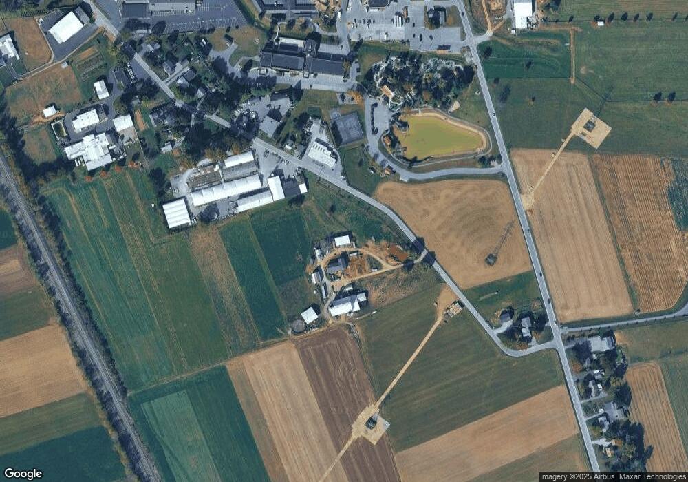
Map
Nearby Homes
- 323 Enterprise Dr
- 339 Enterprise Dr
- 2596 Old Philadelphia Pike
- 2498 Old Philadelphia Park
- 2453 Lincoln Hwy E
- 425 Mill Creek Rd
- 7 Pleasant Dr
- 2472 Leaman Rd
- 26 Ruth Dr
- 31 Jere Rd
- 103 Fairhill Dr
- 0 - Lot #2 Paradise Ln
- 15 S Singer Ave
- 3088 Lincoln Hwy E
- 129 Creekview Dr
- 439 Coreopsis Dr
- 3474 Old Philadelphia Unit 2
- 305 Greenland Dr Unit 385
- 347 Greenland Dr
- 202 N Decatur St
- 191 N Ronks Rd
- 187 N Ronks Rd
- 183 N Ronks Rd
- 181 N Ronks Rd
- 175 N Ronks Rd
- 171 N Ronks Rd
- 170 N Ronks Rd
- 169 N Ronks Rd
- 166 N Ronks Rd
- 224 Maple Ave
- 167 N Ronks Rd
- 162 N Ronks Rd
- 163 N Ronks Rd
- 160 B N Ronks Rd
- 160 N Ronks Rd
- 159 N Ronks Rd
- 156 N Ronks Rd
- 2850 Harvest Dr
- 239 Maple Ave
- 240 N Ronks Rd