Estimated Value: $172,766 - $217,000
3
Beds
2
Baths
2,014
Sq Ft
$100/Sq Ft
Est. Value
About This Home
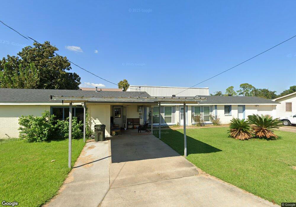
This home is located at 208 Mike St, Houma, LA 70360 and is currently estimated at $200,692, approximately $99 per square foot. 208 Mike St is a home located in Terrebonne Parish with nearby schools including Lisa Park Elementary School, Houma Junior High School, and Terrebonne High School.
Ownership History
Date
Name
Owned For
Owner Type
Purchase Details
Closed on
Jul 31, 2017
Sold by
Britt Roger W and Aquino Britt Melina Antonio
Bought by
Nickoson Joseph Aaron and Nickoson Megan Lynne
Current Estimated Value
Home Financials for this Owner
Home Financials are based on the most recent Mortgage that was taken out on this home.
Original Mortgage
$170,707
Outstanding Balance
$142,133
Interest Rate
3.88%
Mortgage Type
New Conventional
Estimated Equity
$58,559
Purchase Details
Closed on
Dec 15, 2006
Sold by
Falgoust Kevin C and Falgoust Samantha B
Bought by
Breaux David A
Create a Home Valuation Report for This Property
The Home Valuation Report is an in-depth analysis detailing your home's value as well as a comparison with similar homes in the area
Home Values in the Area
Average Home Value in this Area
Purchase History
| Date | Buyer | Sale Price | Title Company |
|---|---|---|---|
| Nickoson Joseph Aaron | $169,000 | None Available | |
| Breaux David A | $139,000 | -- |
Source: Public Records
Mortgage History
| Date | Status | Borrower | Loan Amount |
|---|---|---|---|
| Open | Nickoson Joseph Aaron | $170,707 | |
| Closed | Breaux David A | $0 |
Source: Public Records
Tax History Compared to Growth
Tax History
| Year | Tax Paid | Tax Assessment Tax Assessment Total Assessment is a certain percentage of the fair market value that is determined by local assessors to be the total taxable value of land and additions on the property. | Land | Improvement |
|---|---|---|---|---|
| 2024 | $705 | $14,870 | $3,230 | $11,640 |
| 2023 | $705 | $14,170 | $3,080 | $11,090 |
| 2022 | $621 | $14,170 | $3,080 | $11,090 |
| 2021 | $505 | $13,060 | $3,080 | $9,980 |
| 2020 | $1,220 | $14,170 | $3,080 | $11,090 |
| 2019 | $1,291 | $13,770 | $2,680 | $11,090 |
| 2018 | $535 | $13,110 | $2,550 | $10,560 |
| 2017 | $1,259 | $13,110 | $2,550 | $10,560 |
| 2015 | $475 | $12,480 | $2,425 | $10,055 |
| 2014 | $473 | $12,480 | $0 | $0 |
| 2013 | $468 | $12,480 | $0 | $0 |
Source: Public Records
Map
Nearby Homes
- 310 Grace St
- 320 & 320-A Grace St
- 203 Fairmont Dr
- 218 Ziegler Ave
- 202 Fairmont Dr
- 6541 W Park Ave
- 1794 Martin Luther King jr
- 179 Enterprise Dr
- 273 Rue Max
- 292 Enterprise Dr
- 112 Wayne Ave
- 158 Wayne Ave
- 115 Louis Dr
- 123 Wayne Ave
- 205 Harding Dr
- 230 Derusso St
- 763 Corporate Dr
- Lot 2 Westside Blvd
- lot 3 Westside Blvd
- Lot 4 Westside Blvd