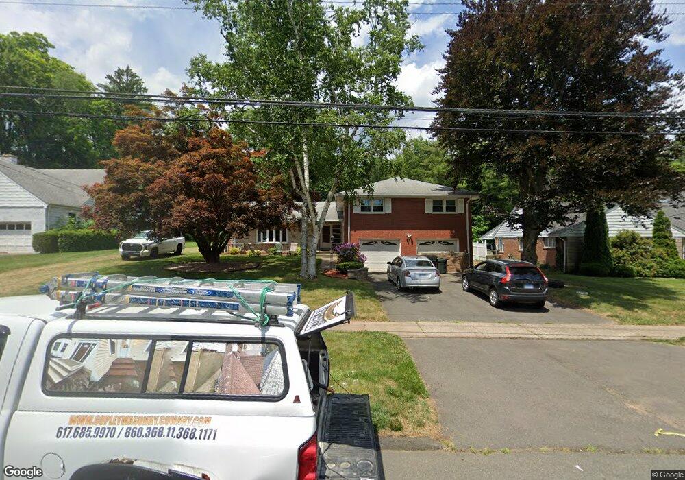
208 Mohawk Dr West Hartford, CT 06117
Estimated Value: $525,000 - $710,000
4
Beds
4
Baths
2,981
Sq Ft
$216/Sq Ft
Est. Value
About This Home
This home is located at 208 Mohawk Dr, West Hartford, CT 06117 and is currently estimated at $642,745, approximately $215 per square foot. 208 Mohawk Dr is a home located in Hartford County with nearby schools including Aiken School, King Philip Middle School, and Delta High School.
Ownership History
Date
Name
Owned For
Owner Type
Purchase Details
Closed on
Oct 18, 2018
Sold by
Zuboff-Rosenzweig Helene
Bought by
Rosenzweig Ret
Current Estimated Value
Purchase Details
Closed on
May 29, 1998
Sold by
Weisenbur Jacqueline M
Bought by
Zuboff Rosen Helene and Rosenzweig Alexander D
Home Financials for this Owner
Home Financials are based on the most recent Mortgage that was taken out on this home.
Original Mortgage
$134,000
Interest Rate
7.12%
Mortgage Type
Unknown
Create a Home Valuation Report for This Property
The Home Valuation Report is an in-depth analysis detailing your home's value as well as a comparison with similar homes in the area
Home Values in the Area
Average Home Value in this Area
Purchase History
| Date | Buyer | Sale Price | Title Company |
|---|---|---|---|
| Rosenzweig Ret | -- | -- | |
| Zuboff Rosen Helene | $167,500 | -- |
Source: Public Records
Mortgage History
| Date | Status | Borrower | Loan Amount |
|---|---|---|---|
| Previous Owner | Zuboff Rosen Helene | $109,000 | |
| Previous Owner | Zuboff Rosen Helene | $134,000 |
Source: Public Records
Tax History Compared to Growth
Tax History
| Year | Tax Paid | Tax Assessment Tax Assessment Total Assessment is a certain percentage of the fair market value that is determined by local assessors to be the total taxable value of land and additions on the property. | Land | Improvement |
|---|---|---|---|---|
| 2025 | $13,460 | $300,580 | $97,720 | $202,860 |
| 2024 | $12,730 | $300,580 | $97,720 | $202,860 |
| 2023 | $10,885 | $266,000 | $97,720 | $168,280 |
| 2022 | $10,821 | $266,000 | $97,720 | $168,280 |
| 2021 | $10,426 | $245,770 | $87,920 | $157,850 |
| 2020 | $9,928 | $237,510 | $78,260 | $159,250 |
| 2019 | $9,928 | $237,510 | $78,260 | $159,250 |
| 2018 | $9,738 | $237,510 | $78,260 | $159,250 |
| 2017 | $9,747 | $237,510 | $78,260 | $159,250 |
| 2016 | $8,410 | $212,870 | $62,230 | $150,640 |
| 2015 | $8,155 | $212,870 | $62,230 | $150,640 |
| 2014 | $7,955 | $212,870 | $62,230 | $150,640 |
Source: Public Records
Map
Nearby Homes
- 139 Mohawk Dr
- 148 King Philip Dr
- 50 Magnolia Hill
- 11 Rye Ridge Pkwy
- 2581 Albany Ave
- 62 Blue Ridge Ln
- 47 Flagg Rd
- 11 Lawler Rd
- 3 Pilgrim Rd
- 9 Timberwood Rd
- 592 Mountain Rd Unit A
- 10 Ironwood Ln
- 5 Lovelace Dr
- 320 N Steele Rd
- 1993 Albany Ave
- 365 Simsbury Rd
- 17 Cranbrook
- 56 Fox Chase Ln
- 5 Adams Ln
- 75 Arlen Way