208 N Blackstone Ave Stanford, IL 61774
Estimated Value: $123,000 - $136,503
--
Bed
1
Bath
1,064
Sq Ft
$124/Sq Ft
Est. Value
About This Home
This home is located at 208 N Blackstone Ave, Stanford, IL 61774 and is currently estimated at $132,126, approximately $124 per square foot. 208 N Blackstone Ave is a home located in McLean County with nearby schools including Olympia High School.
Ownership History
Date
Name
Owned For
Owner Type
Purchase Details
Closed on
Sep 11, 2024
Sold by
Stubblefield Adam T and Stubblefield Emily L
Bought by
Crismon Tommy J and Crismon Fujiko
Current Estimated Value
Home Financials for this Owner
Home Financials are based on the most recent Mortgage that was taken out on this home.
Original Mortgage
$72,000
Outstanding Balance
$71,514
Interest Rate
6.25%
Mortgage Type
New Conventional
Estimated Equity
$52,652
Purchase Details
Closed on
Sep 17, 2009
Sold by
Stubblefield Keisa
Bought by
Stubblefield Adam
Create a Home Valuation Report for This Property
The Home Valuation Report is an in-depth analysis detailing your home's value as well as a comparison with similar homes in the area
Home Values in the Area
Average Home Value in this Area
Purchase History
| Date | Buyer | Sale Price | Title Company |
|---|---|---|---|
| Crismon Tommy J | $125,000 | None Listed On Document | |
| Stubblefield Adam | -- | None Available |
Source: Public Records
Mortgage History
| Date | Status | Borrower | Loan Amount |
|---|---|---|---|
| Open | Crismon Tommy J | $72,000 | |
| Previous Owner | Stubblefield Adam | $77,833 |
Source: Public Records
Tax History Compared to Growth
Tax History
| Year | Tax Paid | Tax Assessment Tax Assessment Total Assessment is a certain percentage of the fair market value that is determined by local assessors to be the total taxable value of land and additions on the property. | Land | Improvement |
|---|---|---|---|---|
| 2024 | $1,194 | $14,326 | $2,567 | $11,759 |
| 2022 | $1,194 | $11,591 | $2,077 | $9,514 |
| 2021 | $1,125 | $11,006 | $1,972 | $9,034 |
| 2020 | $1,092 | $10,610 | $1,901 | $8,709 |
| 2019 | $1,104 | $10,610 | $1,901 | $8,709 |
| 2018 | $1,060 | $10,112 | $1,812 | $8,300 |
| 2017 | $1,063 | $10,112 | $1,812 | $8,300 |
| 2016 | $1,089 | $10,307 | $1,847 | $8,460 |
| 2015 | $1,063 | $10,307 | $1,847 | $8,460 |
| 2014 | $1,022 | $10,307 | $1,847 | $8,460 |
| 2013 | -- | $10,073 | $1,805 | $8,268 |
Source: Public Records
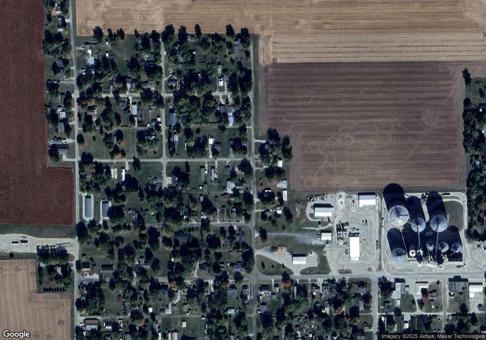
Map
Nearby Homes
- 407 W Boundary St
- 209 W Boundary St
- 106 W Boundary St
- 109 S Eastern Ave
- 613 N School St
- 510 N Maple Ave
- 114 W North St
- 500 E North St
- 3625 N 400 Rd E
- 9251 N 950 Rd E
- 2988 N 400 Rd E
- 13822 Deer Ridge Rd
- 14513 Saturn Cir
- 13915 Wagner Dr
- 14746 Mercury Ln
- 3609 Grampp Rd
- 131 North St
- Vacant Grove Rd
- 308 S Jefferson St
- 9688 Old Peoria Rd
- 208 N Blackstone Ave
- 206 N Blackstone Ave
- 404 W Pleasant St
- 401 W Pleasant St
- 403 W Pleasant St
- 406 W Pleasant St
- 303 N Blackstone Ave
- 401 W Carter St
- 213 N Blackstone Ave
- 407 W Carter Unit 284
- 207 N Blackstone Ave
- 207 N Blackstone Ave
- 409 W Carter
- 201 N Blackstone Ave
- 411 W Pleasant St
- 411 W Carter
- 412 W Pleasant St
- 404 W North St
- 413 W Carter
- 400 W Carter